
File:Antarctica blank.svg

Size of this PNG preview of this SVG file: 600 × 600 pixels. Ither resolutions: 240 × 240 pixels | 480 × 480 pixels | 768 × 768 pixels | 1,024 × 1,024 pixels | 2,048 × 2,048 pixels | 804 × 804 pixels.
Oreeginal file (SVG file, nominallie 804 × 804 pixels, file size: 39 KB)
Ootline
This W3C-unspecified vector image was created with Inkscape .
| Descreeption |
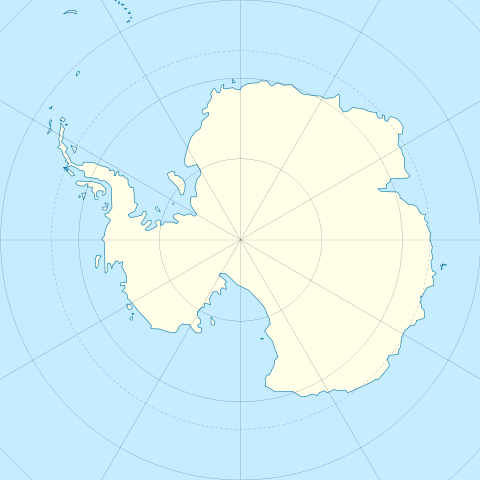
English: Blank map of Antarctica.
Français : Carte nue de l'Antarctique. La latitude au centre de chaque bord est -60. Donc le pôle est centré. |
| Date | |
| Soorce | Image:Antarctica_research_station.gif + Image:Blank suedpolarregion.png |
| Author | STyx |
| Other versions | Map with territorial claims marked out, Antarctica blank 2.svg |
Licensin
I, the copyright holder of this work, hereby publish it under the following licenses:

|
Permission is grantit tae copy, distribute an/or modify this document unner the terms o the GNU Free Documentation License, Version 1.2 or ony later version published bi the Free Software Foundation; wi no Invariant Sections, no Front-Cover Texts, an no Back-Cover Texts. A copy o the license is includit in the section enteetled GNU Free Documentation License. |
This file is licensed under the Creative Commons Attribution 3.0 Unported license.
- Ye are free:
- tae share – tae copy, distribute an transmit the wirk
- tae remix – tae adapt the wirk
- Unner the follaein condeetions:
- attribution – Ye must attribute the wirk in the manner specified bi the author or licensor (but nae in ony way that suggests that thay endorse ye or yer uise o the wirk).
Ye mey select the license o yer choice.
File history
Clap oan ae date/time fer tae see the file aes it kithed at that time.
| Date/Time | Thummnail | Dimensions | Uiser | Comment | |
|---|---|---|---|---|---|
| current | 11:45, 21 December 2009 | | 804 × 804 (39 KB) | Botev | Reverted to version as of 07:30, 14 October 2009 - we are using this image as a location map on pl wiki, don't simply change it like that. Upload a new image if you want. |
| 15:59, 17 December 2009 |  | 1,139 × 1,262 (43 KB) | NuclearVacuum | minor | |
| 15:57, 17 December 2009 |  | 1,139 × 1,262 (43 KB) | NuclearVacuum | made image larger to show the rest of the image | |
| 07:30, 14 October 2009 |  | 804 × 804 (39 KB) | Entlinkt | Just slightly changed colours to those given at File:Maps_template-fr.svg | |
| 01:43, 11 Mairch 2008 |  | 804 × 804 (39 KB) | STyx | ||
| 00:43, 11 Mairch 2008 |  | 804 × 804 (30 KB) | STyx | == Summary == {{Created with Inkscape}} {{Information |Description= *{{en}} Blank map of Antarctica. *{{fr}} Carte nue de l'Antarctique. La latitude au centre de chaque bord est -60. Donc le pôle est centré. |Source=[[:Image:Antarctica_research_station. |
Eimage airtins
The'r nae pages airts tae this eimage.
Global file uisage
The follaein ither wikis uise this file:
- Uisage on de.wikipedia.org
- Uisage on en.wikipedia.org
- Uisage on es.wikipedia.org
- Uisage on fr.wikipedia.org
- Uisage on hy.wikipedia.org
- Uisage on zh.wikipedia.org