
File:Wales Neath Port Talbot locator map.svg

Size of this PNG preview of this SVG file: 502 × 600 pixels. Ither resolutions: 201 × 240 pixels | 402 × 480 pixels | 643 × 768 pixels | 857 × 1,024 pixels | 1,714 × 2,048 pixels | 1,047 × 1,251 pixels.
Oreeginal file (SVG file, nominallie 1,047 × 1,251 pixels, file size: 147 KB)
Ootline
| Descreeption |
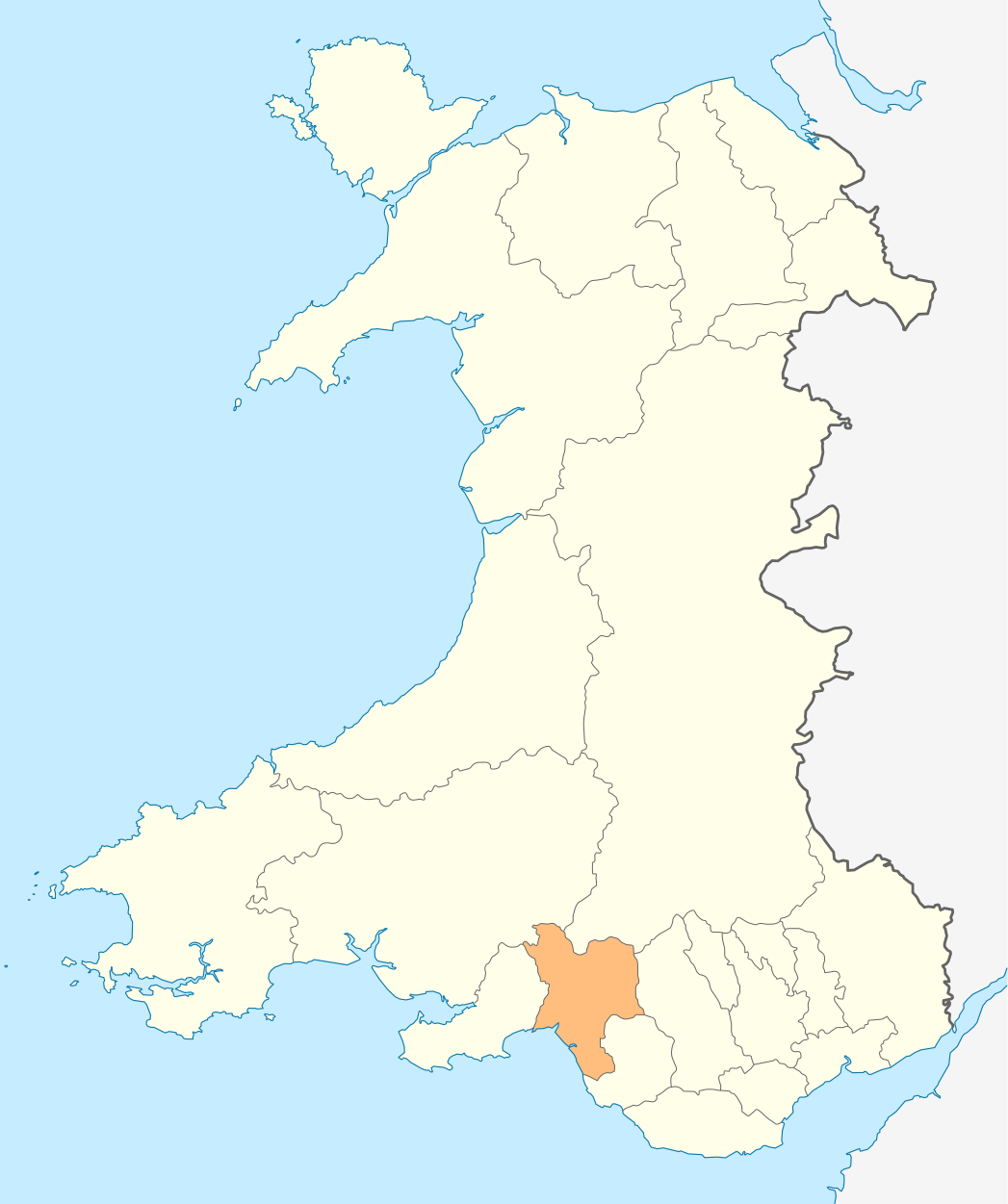
Deutsch: Lagekarte von Neath Port Talbot in Wales
English: Locator map of Neath Port Talbot in Wales |
| Date | |
| Soorce | Ain wirk |
| Author | NordNordWest |
| Permission (Reuisin this file) |
I, the copyright holder of this work, hereby publish it under the following license: This file is licensed unner the Creative Commons Attribution-Share Alike 3.0 Unported license.
|

|
This map has been made or improved in the German Kartenwerkstatt (Map Lab). You can propose maps to improve as well.
|
File history
Clap oan ae date/time fer tae see the file aes it kithed at that time.
| Date/Time | Thummnail | Dimensions | Uiser | Comment | |
|---|---|---|---|---|---|
| current | 18:55, 4 Mey 2010 | | 1,047 × 1,251 (147 KB) | NordNordWest | {{int:filedesc}} {{Information |Description= {{de|Lagekarte von Neath Port Talbot in Wales}} {{en|Locator map of Neath Port Talbot in Wales}} |Source={{Own}} |Date=2010-05-04 |Author={{U|NordNordWest}} |Permission={{self|cc-by-sa-3.0}} |other_versions= } |
Eimage airtins
The follaein pages airts tae this image:
Global file uisage
The follaein ither wikis uise this file:
- Uisage on en.wikipedia.org
- Port Talbot
- River Afan
- Seven Sisters, Neath Port Talbot
- Neath
- Neath Port Talbot
- Briton Ferry
- Glynneath
- Pontardawe
- Aberdulais
- Aberavon
- Skewen
- River Neath
- Margam
- Baglan, Neath Port Talbot
- Abergarwed
- Abergwynfi
- Crynant
- Resolven
- Blaengwynfi
- Coedffranc
- Bryn, Neath Port Talbot
- Ystalyfera
- Neath Port Talbot County Borough Council
- Tonna, Neath
- List of places in Neath Port Talbot
- Alltwen
- Swansea Valley
- Rhiwfawr
- Bryncoch North
- Blaengwrach
- Cwmllynfell
- Baglan Bay
- Jersey Marine
- Blaenhonddan
- Tonmawr
- Cadoxton-juxta-Neath
- Nidum
- Cwmgors
- Template:NeathPortTalbot-geo-stub
- Tir Iarll
- Mynydd Drumau
- River Amman
- Goytre
- Dyffryn Cellwen
- Melincourt Falls
- Clyne, Neath Port Talbot
- Cilybebyll
- Godre'r Graig
- Lower Brynamman
- Neath Castle
View mair global usage o this file.