
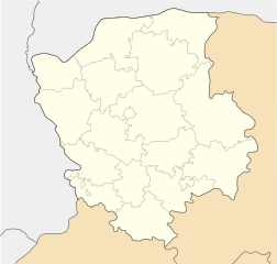
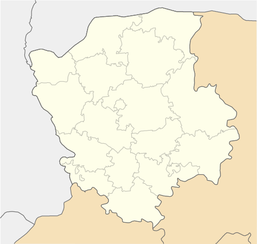
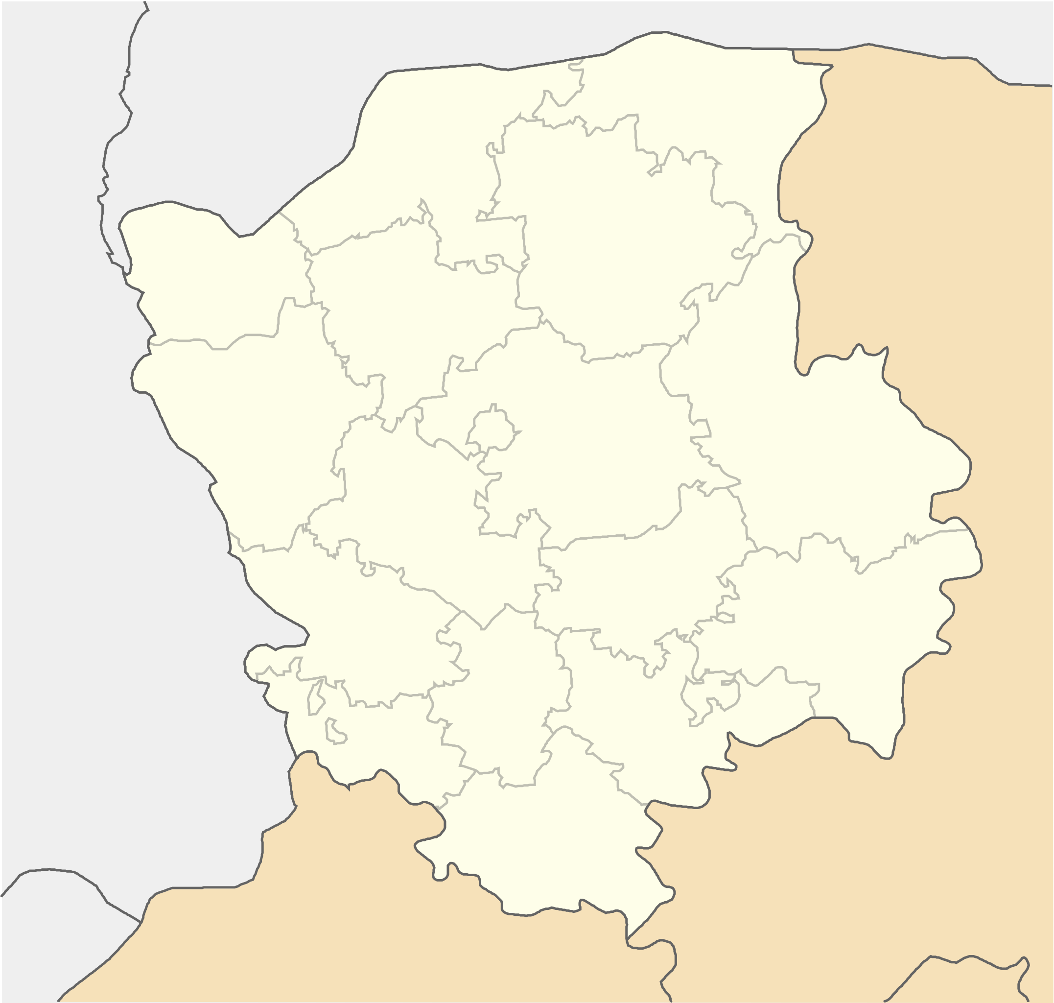
File:Volyn province location map.svg

Size of this PNG preview of this SVG file: 533 × 507 pixels. Ither resolutions: 252 × 240 pixels | 505 × 480 pixels | 807 × 768 pixels | 1,077 × 1,024 pixels | 2,153 × 2,048 pixels.
Oreeginal file (SVG file, nominallie 533 × 507 pixels, file size: 130 KB)
Ootline
| Descreeption |
English: Location map of Volyn province, Ukraine
Русский: Позиционная карта Волынской области, Украина
Українська: Карта Волинської області, Україна |
| Date | |
| Soorce | Ain wirk |
| Author | Urutseg |
| SVG genesis | This locator map was created with Inkscape. |
Licensin
| I, the copyright holder of this work, release this work into the public domain. This applies worldwide. In some countries this may not be legally possible; if so: I grant anyone the right to use this work for any purpose, without any conditions, unless such conditions are required by law. |
File history
Clap oan ae date/time fer tae see the file aes it kithed at that time.
| Date/Time | Thummnail | Dimensions | Uiser | Comment | |
|---|---|---|---|---|---|
| current | 08:55, 29 Juin 2014 | | 533 × 507 (130 KB) | קרלוס הגדול | lighter borders between provinces |
| 13:28, 1 December 2010 |  | 533 × 507 (130 KB) | Urutseg | {{Information |Description={{en|1=Location map of Volyn province, Ukraine}} {{ru|1=Позиционная карта Волынской области, Украина}} |Source={{own}} |Author=Urutseg |Date=2010-12-01 |Permission= |other_ |
Eimage airtins
The follaein pages airts tae this image:
Global file uisage
The follaein ither wikis uise this file:
- Uisage on azb.wikipedia.org
- Uisage on bg.wikipedia.org
- Uisage on de.wikipedia.org
- Uisage on eo.wikipedia.org
- Lucko
- Trostjaneco (Volina provinco)
- Ŝablono:Situo sur mapo Ukrainio Volina provinco
- Kovel
- Luck (stacidomo)
- Kovel (stacidomo)
- Volodimir-Volinskij (stacidomo)
- Volodimir (urbo)
- Kiverci (stacidomo)
- Kiverci
- Roĵiŝĉe (stacidomo)
- Roĵiŝĉe
- Ĉartorijsk (stacidomo)
- Cmini
- Maneviĉi (stacidomo)
- Maneviĉi
- Ljuboml (stacidomo)
- Ljuboml
- Jahodin (stacidomo)
- Rimaĉi
- Kamin-Kaŝirskij (stacidomo)
- Kamin-Kaŝirskij
- Novovolinsk
- Turijsk (stacidomo)
- Turijsk
- Ivaniĉi (stacidomo)
- Ivaniĉi (Volina provinco)
- Uisage on es.wikipedia.org
- Uisage on fa.wikipedia.org
- Uisage on he.wikipedia.org
View mair global usage o this file.