
File:Venezuela location map.svg

Size of this PNG preview of this SVG file: 670 × 599 pixels. Ither resolutions: 268 × 240 pixels | 537 × 480 pixels | 859 × 768 pixels | 1,145 × 1,024 pixels | 2,290 × 2,048 pixels | 1,654 × 1,479 pixels.
Oreeginal file (SVG file, nominallie 1,654 × 1,479 pixels, file size: 743 KB)
Ootline
| Descreeption |
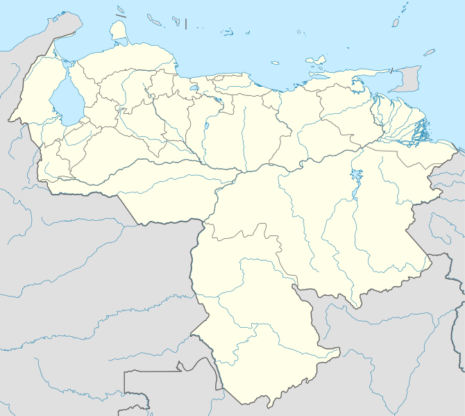
Deutsch: Positionskarte von Venezuela
Quadratische Plattkarte, N-S-Streckung 101 %. Geographische Begrenzung der Karte:
English: Location map of Venezuela
Equirectangular projection, N/S stretching 101 %. Geographic limits of the map:
|
| Date | |
| Soorce |
Ain wirk, using
|
| Author | NordNordWest |
| Permission (Reuisin this file) |
I, the copyright holder of this work, hereby publish it under the following license: This file is licensed unner the Creative Commons Attribution-Share Alike 3.0 Unported license.
|
| Other versions |
Derivative works of this file: Venezuela relief location map.jpg
|

.svg)
.jpg)

|
This map has been made or improved in the German Kartenwerkstatt (Map Lab). You can propose maps to improve as well.
|
File history
Clap oan ae date/time fer tae see the file aes it kithed at that time.
| Date/Time | Thummnail | Dimensions | Uiser | Comment | |
|---|---|---|---|---|---|
| current | 19:38, 21 September 2009 | | 1,654 × 1,479 (743 KB) | NordNordWest | =={{int:filedesc}}== {{Information |Description= {{de|Positionskarte von Venezuela}} Quadratische Plattkarte, N-S-Streckung 101 %. Geographische Begrenzung der Karte: * N: 12.8° N * S: 0.4° N * W: 73.6° W * O: 59.6° W {{en|Location m |
Eimage airtins
The follaein pages airts tae this image:
- Alberto Arvelo Torrealba Municipality
- Alto Orinoco Municipality
- Anzoátegui Municipality
- Atabapo Municipality
- Atures Municipality
- Autana Municipality
- Barinas, Barinas
- Barinas Municipality
- Barquisimeto
- Bolívar, Aragua
- Bolívar, Barinas
- Camatagua
- Camatagua Municipality
- Caracas
- Cojedes, Cojedes
- El Consejo
- Falcón Municipality, Cojedes
- Falcón Municipality, Falcón
- Francisco Linares Alcántara Municipality
- Girardot Municipality, Aragua
- Girardot Municipality, Cojedes
- Güiria
- Independencia, Miranda
- Isla Ratón
- José Angel Lamas Municipality
- José Félix Ribas Municipality, Aragua
- José Rafael Revenga Municipality
- La Esmeralda, Venezuela
- Libertador Municipality, Aragua
- Machiques
- Manapiare Municipality
- Maracaibo
- Maracay
- Mario Briceño Iragorry Municipality
- Maroa Municipality
- Moont Roraima
- Mérida, Mérida
- Ocumare de la Costa de Oro Municipality
- Paz Castillo
- Río Negro Municipality
- Sabaneta, Barinas
- San Casimiro Municipality
- San Sebastián, Aragua
- San Sebastián Municipality
- Santiago Mariño Municipality
- Santos Michelena Municipality
- Simón Bolívar, Miranda
- Sucre, Aragua
- Sucre, Falcón
- Tinaquillo
- Tovar Municipality, Aragua
- Turmero
- Urdaneta, Aragua
- Urdaneta, Miranda
- Valencia, Carabobo
- Zamora, Aragua
- Zamora, Miranda
- Template:Location map Venezuela
Global file uisage
The follaein ither wikis uise this file:
- Uisage on af.wikipedia.org
- Uisage on als.wikipedia.org
- Uisage on am.wikipedia.org
- Uisage on an.wikipedia.org
- Caracas
- Maracaibo
- Valencia (Venezuela)
- Maracay
- Barquisimeto
- San Cristóbal (Venezuela)
- La Guaira
- Ciudat Bolívar
- Maturín
- Mérida (Venezuela)
- Los Teques
- Barinas (ciudat)
- Coro (Venezuela)
- San Juan de Los Morros
- La Asunción
- San Felipe (Venezuela)
- Trujillo (Venezuela)
- Puerto Ayacucho
- Cumaná
- Barcelona (Venezuela)
- Guanare
- Tucupita
- San Fernando de Apure
- San Carlos (Venezuela)
- Puerto La Cruz
- Puerto Cabello
- Ciudat Guayana
- San Fernando de Atabapo
- Ciudat Ojeda
- Cabimas
- Lechería
- Isla Ratón
- Plantilla:Mapa de localización Venezuela
- Guasdualito
- Colonia Tovar
- Urica
- Uisage on ast.wikipedia.org
- Uisage on awa.wikipedia.org
- Uisage on az.wikipedia.org
- Uisage on ba.wikipedia.org
View mair global usage o this file.