
File:USA Pennsylvania location map.svg

Size of this PNG preview of this SVG file: 800 × 536 pixels. Ither resolutions: 320 × 214 pixels | 640 × 429 pixels | 1,024 × 686 pixels | 1,280 × 858 pixels | 2,560 × 1,716 pixels | 1,201 × 805 pixels.
Oreeginal file (SVG file, nominallie 1,201 × 805 pixels, file size: 146 KB)
Ootline
| Descreeption |
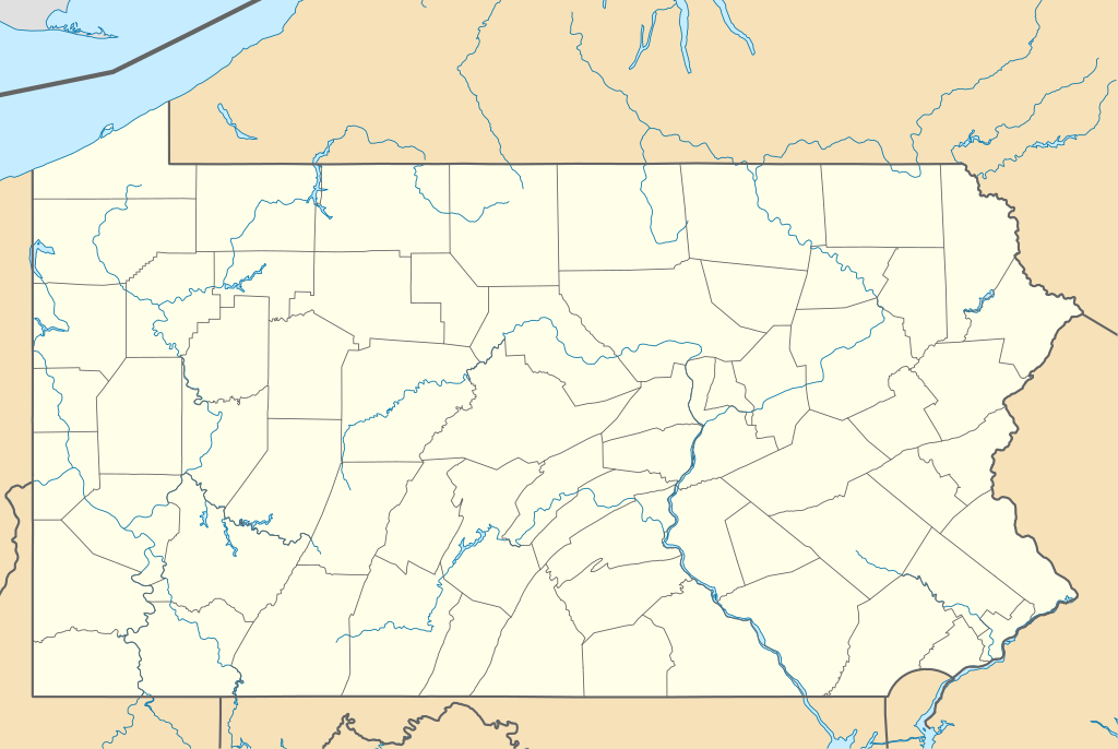
Quadratische Plattkarte, N-S-Streckung 130.0 %. Geographische Begrenzung der Karte:
Equirectangular projection, N/S stretching 130.0 %. Geographic limits of the map:
|
||
| Date | |||
| Soorce | Ain wirk | ||
| Author | Alexrk2 | ||
| Other versions |
Derivative works of this file: |
||
| SVG genesis |
|

Licensin
I, the copyright holder of this work, hereby publish it under the following licenses:

|
Permission is grantit tae copy, distribute an/or modify this document unner the terms o the GNU Free Documentation License, Version 1.2 or ony later version published bi the Free Software Foundation; wi no Invariant Sections, no Front-Cover Texts, an no Back-Cover Texts. A copy o the license is includit in the section enteetled GNU Free Documentation License. |
This file is licensed under the Creative Commons Attribution 3.0 Unported license.
- Ye are free:
- tae share – tae copy, distribute an transmit the wirk
- tae remix – tae adapt the wirk
- Unner the follaein condeetions:
- attribution – Ye must attribute the wirk in the manner specified bi the author or licensor (but nae in ony way that suggests that thay endorse ye or yer uise o the wirk).
Ye mey select the license o yer choice.
File history
Clap oan ae date/time fer tae see the file aes it kithed at that time.
| Date/Time | Thummnail | Dimensions | Uiser | Comment | |
|---|---|---|---|---|---|
| current | 23:51, 9 Mairch 2019 | | 1,201 × 805 (146 KB) | AndreyKva | Optimized. |
| 11:11, 5 Julie 2009 |  | 1,201 × 805 (420 KB) | Alexrk2 | == Beschreibung == {{Information |Description= {{de|Positionskarte von Pennsylvania, USA}} Quadratische Plattkarte, N-S-Streckung 130.0 %. Geographische Begrenzung der Karte: * N: 42.7° N * S: 39.5° N * W: 80.7° W * O: |
Eimage airtins
The follaein pages airts tae this image:
Global file uisage
The follaein ither wikis uise this file:
- Uisage on an.wikipedia.org
- Uisage on ar.wikipedia.org
- Uisage on ast.wikipedia.org
- Uisage on azb.wikipedia.org
- آلتونا، پنسیلوانیا
- فارل، پنسیلوانیا
- واکسال، پنسیلوانیا
- سیلکورس، پنسیلوانیا
- استونراستون، پنسیلوانیا
- مکینزبرق، پنسیلوانیا
- رولاک، پنسیلوانیا
- ماشنون، پنسیلوانیا
- مسیاح کالج، پنسیلوانیا
- وست فیرویو، پنسیلوانیا
- وینهایتس، پنسیلوانیا
- بلویل، پنسیلوانیا
- نئومی، پنسیلوانیا
- سینت مایکل، پنسیلوانیا
- قلن لیون، پنسیلوانیا
- سنتمایکل سیدمن، پنسیلوانیا
- آپر اکستر، پنسیلوانیا
- شیپینزبرق یونیورسیتی، پنسیلوانیا
- لاول-لوکاستدیل، پنسیلوانیا
- الیم، پنسیلوانیا
- استونیبروک ویلشایر، پنسیلوانیا
- اوک هیلز، پنسیلوانیا
- لمونت فرنس، پنسیلوانیا
- هاملز وارف، پنسیلوانیا
- آیولا، پنسیلوانیا
- کریمر، پنسیلوانیا
- ویدویل، پنسیلوانیا
- مانت ایقل، پنسیلوانیا
- ماریون، پنسیلوانیا
- سندهیل، پنسیلوانیا
- ایست برویک، پنسیلوانیا
- لیک وینونا، پنسیلوانیا
- سیدمن، پنسیلوانیا
- لاتیمر، پنسیلوانیا
- لایت استریت، پنسیلوانیا
- ایست واترفورد، پنسیلوانیا
- مککانلزتاون، پنسیلوانیا
- سالیکس، پنسیلوانیا
View mair global usage o this file.