
File:USA North Dakota relief location map.jpg

Size o this luikower: 800 × 594 pixels. Ither resolutions: 320 × 237 pixels | 640 × 475 pixels | 1,024 × 760 pixels | 1,280 × 950 pixels | 2,668 × 1,980 pixels.
Oreeginal file (2,668 × 1,980 pixels, file size: 2.16 MB, MIME type: image/jpeg)
Ootline
| Descreeption |
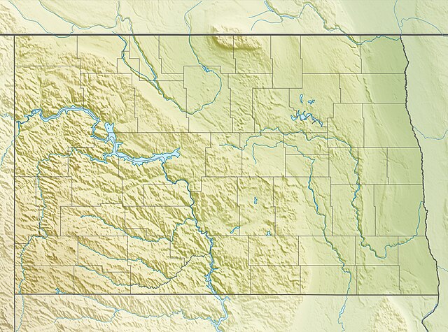
Quadratische Plattkarte, N-S-Streckung 150.0 %. Geographische Begrenzung der Karte:
Equirectangular projection, N/S stretching 150.0 %. Geographic limits of the map:
|
| Date | |
| Soorce |
Ain wirk, using
|
| Author | Carport |
| Permission (Reuisin this file) |
This file is licensed unner the Creative Commons Attribution-Share Alike 3.0 Unported license.
|
| Other versions |
|

File history
Clap oan ae date/time fer tae see the file aes it kithed at that time.
| Date/Time | Thummnail | Dimensions | Uiser | Comment | |
|---|---|---|---|---|---|
| current | 21:30, 30 November 2012 | | 2,668 × 1,980 (2.16 MB) | Carport | == {{int:filedesc}} == {{Information |Description= {{de|Physische Positionskarte von North Dakota, USA}} Quadratische Plattkarte, N-S-Streckung 150.0 %. Geographische Begrenzung der Karte: * N: 49.4° N * S: 45.5° N * ... |
Eimage airtins
The follaein pages airts tae this image:
Global file uisage
The follaein ither wikis uise this file:
- Uisage on ar.wikipedia.org
- Uisage on azb.wikipedia.org
- Uisage on az.wikipedia.org
- Uisage on be-tarask.wikipedia.org
- Uisage on bg.wikipedia.org
- Uisage on bn.wikipedia.org
- Uisage on ca.wikipedia.org
- Uisage on ceb.wikipedia.org
- Uisage on ce.wikipedia.org
- Uisage on cs.wikipedia.org
- Uisage on de.wikipedia.org
- KVLY-Mast
- KXJB-TV-Mast
- Lake Sakakawea
- Vorlage:Positionskarte USA North Dakota
- Fort Abraham Lincoln
- Wikipedia:Kartenwerkstatt/Positionskarten/Nordamerika
- Lewis and Clark State Park (North Dakota)
- Fort Stevenson State Park
- Little Missouri State Park
- Cross Ranch State Park
- Beaver Lake State Park
- White Butte
- Fort Ransom State Park
- KFGO
- KTGO
- KMAV
- Icelandic State Park
- Spirit Lake North Dakota
- KEYA
- KABU
- KMHA
- Fort Rice
- Devils Lake (See, North Dakota)
- Hi-Line Railroad Bridge
- Uisage on de.wikivoyage.org
View mair global usage o this file.