
File:USA Maryland location map.svg

Size of this PNG preview of this SVG file: 800 × 509 pixels. Ither resolutions: 320 × 204 pixels | 640 × 407 pixels | 1,024 × 652 pixels | 1,280 × 815 pixels | 2,560 × 1,630 pixels | 1,200 × 764 pixels.
Oreeginal file (SVG file, nominallie 1,200 × 764 pixels, file size: 452 KB)
Ootline
| Descreeption |
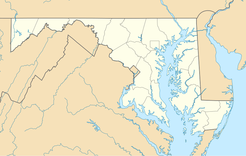
Quadratische Plattkarte, N-S-Streckung 130.0 %. Geographische Begrenzung der Karte:
Equirectangular projection, N/S stretching 130.0 %. Geographic limits of the map:
|
| Date | |
| Soorce | Ain wirk |
| Author | Alexrk2 |
| Other versions |
Derivative works of this file: Wawa footprint 2012-07.png Derivative works of this file: |

|
This map has been made or improved in the German Kartenwerkstatt (Map Lab). You can propose maps to improve as well.
|
Licensin
I, the copyright holder of this work, hereby publish it under the following licenses:

|
Permission is grantit tae copy, distribute an/or modify this document unner the terms o the GNU Free Documentation License, Version 1.2 or ony later version published bi the Free Software Foundation; wi no Invariant Sections, no Front-Cover Texts, an no Back-Cover Texts. A copy o the license is includit in the section enteetled GNU Free Documentation License. |
This file is licensed under the Creative Commons Attribution 3.0 Unported license.
- Ye are free:
- tae share – tae copy, distribute an transmit the wirk
- tae remix – tae adapt the wirk
- Unner the follaein condeetions:
- attribution – Ye must attribute the wirk in the manner specified bi the author or licensor (but nae in ony way that suggests that thay endorse ye or yer uise o the wirk).
Ye mey select the license o yer choice.
File history
Clap oan ae date/time fer tae see the file aes it kithed at that time.
| Date/Time | Thummnail | Dimensions | Uiser | Comment | |
|---|---|---|---|---|---|
| current | 11:30, 22 Juin 2009 | | 1,200 × 764 (452 KB) | Alexrk2 | fixed border |
| 11:23, 22 Juin 2009 |  | 1,200 × 764 (449 KB) | Alexrk2 | crop height | |
| 11:03, 22 Juin 2009 |  | 1,201 × 955 (445 KB) | Alexrk2 | renderer bug | |
| 10:42, 22 Juin 2009 |  | 800 × 636 (311 KB) | Alexrk2 | == Beschreibung == {{Information |Description= {{de|Positionskarte von Maryland, USA}} Quadratische Plattkarte, N-S-Streckung 130.0 %. Geographische Begrenzung der Karte: * N: 40.3° N * S: 37.3° N * W: 79.7° W * O: 74.8° W |
Eimage airtins
The follaein pages airts tae this image:
Global file uisage
The follaein ither wikis uise this file:
- Uisage on af.wikipedia.org
- Uisage on als.wikipedia.org
- Uisage on an.wikipedia.org
- Uisage on ar.wikipedia.org
- Uisage on azb.wikipedia.org
- الیوت، مریلند
- لایهیل، مریلند
- ویتون، مریلند
- نشنال، مریلند
- تیلقمنتون، مریلند
- اوشن، مریلند
- بقتاون، مریلند
- بیکرزویل، مریلند
- دیویدسونویل، مریلند
- قرانیت، مریلند
- باتلر، مریلند
- ارلویل، مریلند
- آوندیل، مریلند
- مکهنری، مریلند
- اسپاروز پوینت، مریلند
- بالدوین، مریلند
- فرلند، مریلند
- قلنکو، مریلند
- فیرهیل، مریلند
- ونسویل، مریلند
- فیقاویل، مریلند
- چرچتون، مریلند
- هنریتون، مریلند
- ساویج، مریلند
- وتیپکوئین، مریلند
- هانت ولی، مریلند
- وست فرندشیپ، مریلند
- دیتون، مریلند
- بازمن، مریلند
- مونپلیه مریلند
- لیسبون، مریلند
- قریسهام، مریلند
- برتدزویل، مریلند
- اجمانت، مریلیند
- بارتونزویل، مریلند
- میلرزویل، مریلند
- جسترویل، مریلند
- لانقبیج، مریلند
- ترقو- راهرسویل استیشن، مریلند
View mair global usage o this file.