
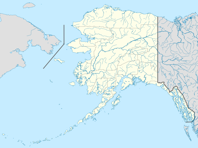
File:USA Alaska location map.svg

Size of this PNG preview of this SVG file: 800 × 598 pixels. Ither resolutions: 320 × 239 pixels | 640 × 478 pixels | 1,024 × 765 pixels | 1,280 × 956 pixels | 2,560 × 1,912 pixels | 1,553 × 1,160 pixels.
Oreeginal file (SVG file, nominallie 1,553 × 1,160 pixels, file size: 1.24 MB)
Ootline
| Descreeption | |
| Date | |
| Soorce | Ain wirk |
| Author | Alexrk2 |
| Other versions |
Derivative works of this file: Starbucks footprint.png
|


| Open this image as an overlay in Google Earth (Google Maps, Bing) | (Help|Source) |
Licensin
I, the copyright holder of this work, hereby publish it under the following licenses:

|
Permission is grantit tae copy, distribute an/or modify this document unner the terms o the GNU Free Documentation License, Version 1.2 or ony later version published bi the Free Software Foundation; wi no Invariant Sections, no Front-Cover Texts, an no Back-Cover Texts. A copy o the license is includit in the section enteetled GNU Free Documentation License. |
This file is licensed under the Creative Commons Attribution 3.0 Unported license.
- Ye are free:
- tae share – tae copy, distribute an transmit the wirk
- tae remix – tae adapt the wirk
- Unner the follaein condeetions:
- attribution – Ye must attribute the wirk in the manner specified bi the author or licensor (but nae in ony way that suggests that thay endorse ye or yer uise o the wirk).
Ye mey select the license o yer choice.
| Annotations | This image is annotated: View the annotations at Commons |
File history
Clap oan ae date/time fer tae see the file aes it kithed at that time.
| Date/Time | Thummnail | Dimensions | Uiser | Comment | |
|---|---|---|---|---|---|
| current | 19:13, 3 October 2009 | | 1,553 × 1,160 (1.24 MB) | Alexrk2 | Linien gesäubert |
| 19:03, 3 October 2009 |  | 1,553 × 1,160 (1.25 MB) | Alexrk2 | Westlicher Teil korrigiert | |
| 18:35, 3 October 2009 |  | 1,553 × 1,160 (1.24 MB) | Alexrk2 | == Beschreibung == {{Information |Description= {{de|Positionskarte von Alaska, USA}} Quadratische Plattkarte, N-S-Streckung 210.0 %. Geographische Begrenzung der Karte: * N: 72.0° N * S: 51.0° N * W: 188.0° W * O: 129.0° W { |
Eimage airtins
The follaein pages airts tae this image:
Global file uisage
The follaein ither wikis uise this file:
- Uisage on af.wikipedia.org
- Uisage on als.wikipedia.org
- Uisage on an.wikipedia.org
- Uisage on ar.wikipedia.org
- Uisage on ast.wikipedia.org
- Alaska
- Baranof
- Juneau (Alaska)
- Anchorage (Alaska)
- Fairbanks (Alaska)
- Ninilchik (Alaska)
- Islles Aleutianes
- Kodiak (Alaska)
- Golfu d'Alaska
- Monte Denali
- Parque y Reserva Nacionales de les Puertes del Árticu
- Cordal d'Alaska
- Módulu:Mapa de llocalización/datos/Alaska
- Módulu:Mapa de llocalización/datos/Alaska/usu
- Aeropuertu Internacional Ted Stevens Anchorage
- Base de la Fuercia Aérea Eielson
- Islla Semisopochnoi
- St. George (Alaska)
- Islles Pribilof
- St. Paul (Alaska)
- Islla Sitkinak
- Uisage on azb.wikipedia.org
View mair global usage o this file.