
File:Surrey UK location map.svg

Size of this PNG preview of this SVG file: 790 × 599 pixels. Ither resolutions: 317 × 240 pixels | 633 × 480 pixels | 1,013 × 768 pixels | 1,280 × 971 pixels | 2,560 × 1,942 pixels | 1,425 × 1,081 pixels.
Oreeginal file (SVG file, nominallie 1,425 × 1,081 pixels, file size: 1.93 MB)
| Descreeption |
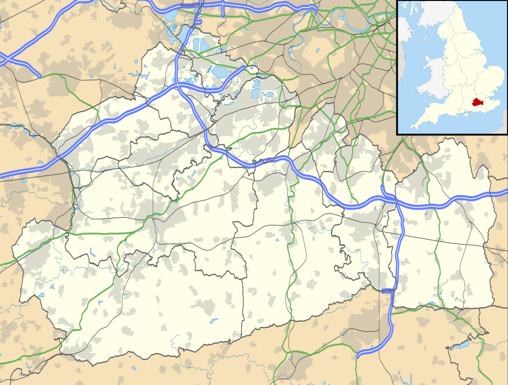
Map of Surrey, UK with the following information shown:
Equirectangular map projection on WGS 84 datum, with N/S stretched 160% Geographic limits:
|
| Date | |
| Soorce |
|
| Author | Nilfanion, created using Ordnance Survey data |
| Permission (Reuisin this file) |
This file is licensed unner the Creative Commons Attribution-Share Alike 3.0 Unported license. Attribution: Contains Ordnance Survey data © Crown copyright and database right
|
| Other versions | File:Surrey UK district map (blank).svg - Blank map |
.svg)
File history
Clap oan ae date/time fer tae see the file aes it kithed at that time.
| Date/Time | Thummnail | Dimensions | Uiser | Comment | |
|---|---|---|---|---|---|
| current | 19:15, 26 September 2010 | | 1,425 × 1,081 (1.93 MB) | Nilfanion | {{Information |Description=Map of Surrey, UK with the following information shown: *Administrative borders *Coastline, lakes and rivers *Roads and railways *Urban areas Equirectangular map projection on WGS 84 datum, with N/S stretched 160% |
Eimage airtins
The follaein pages airts tae this image:
Global file uisage
The follaein ither wikis uise this file:
- Uisage on ar.wikipedia.org
- Uisage on bg.wikipedia.org
- Uisage on ceb.wikipedia.org
- Uisage on en.wikipedia.org
- Staines-upon-Thames
- Dorking
- Guildford
- Effingham, Surrey
- Farnham
- Ashtead
- Leatherhead
- Epsom
- Wisley
- Cobham, Surrey
- Hindhead
- Fetcham
- Great Bookham
- East Horsley
- Cranleigh
- Oatlands, Surrey
- Little Bookham
- Godalming
- Reigate
- Camberley
- Milford, Surrey
- Dunsfold
- Winkworth Arboretum
- Weybridge
- Haslemere
- Redhill, Surrey
- Bramley, Surrey
- Haxted Watermill
- Ockham, Surrey
- Egham
- Esher
- Virginia Water
- Sunbury-on-Thames
- Pirbright
- Abinger Hammer
- Epsom railway station
- Send, Surrey
- Lingfield, Surrey
- Shalford, Surrey
- Waverley Abbey
- Ashford, Surrey
- Tadworth
- Church of St Peter & St Paul, Godalming
- Wormley, Surrey
- Guildford Cathedral
- Witley
- Hambledon, Surrey
View mair global usage o this file.