
File:Spain Balearic Islands location map.svg

Size of this PNG preview of this SVG file: 800 × 520 pixels. Ither resolutions: 320 × 208 pixels | 640 × 416 pixels | 1,024 × 665 pixels | 1,280 × 832 pixels | 2,560 × 1,663 pixels | 1,539 × 1,000 pixels.
Oreeginal file (SVG file, nominallie 1,539 × 1,000 pixels, file size: 78 KB)
| Descreeption |
Deutsch: Positionskarte von Balearische Inseln
Quadratische Plattkarte, N-S-Streckung 130 %. Geographische Begrenzung der Karte:
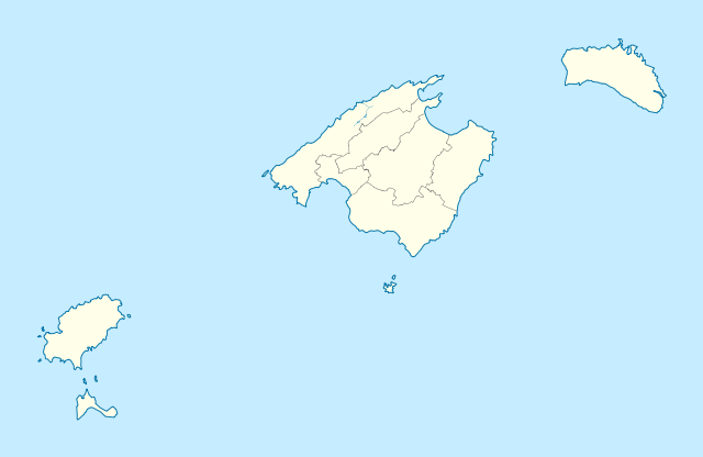
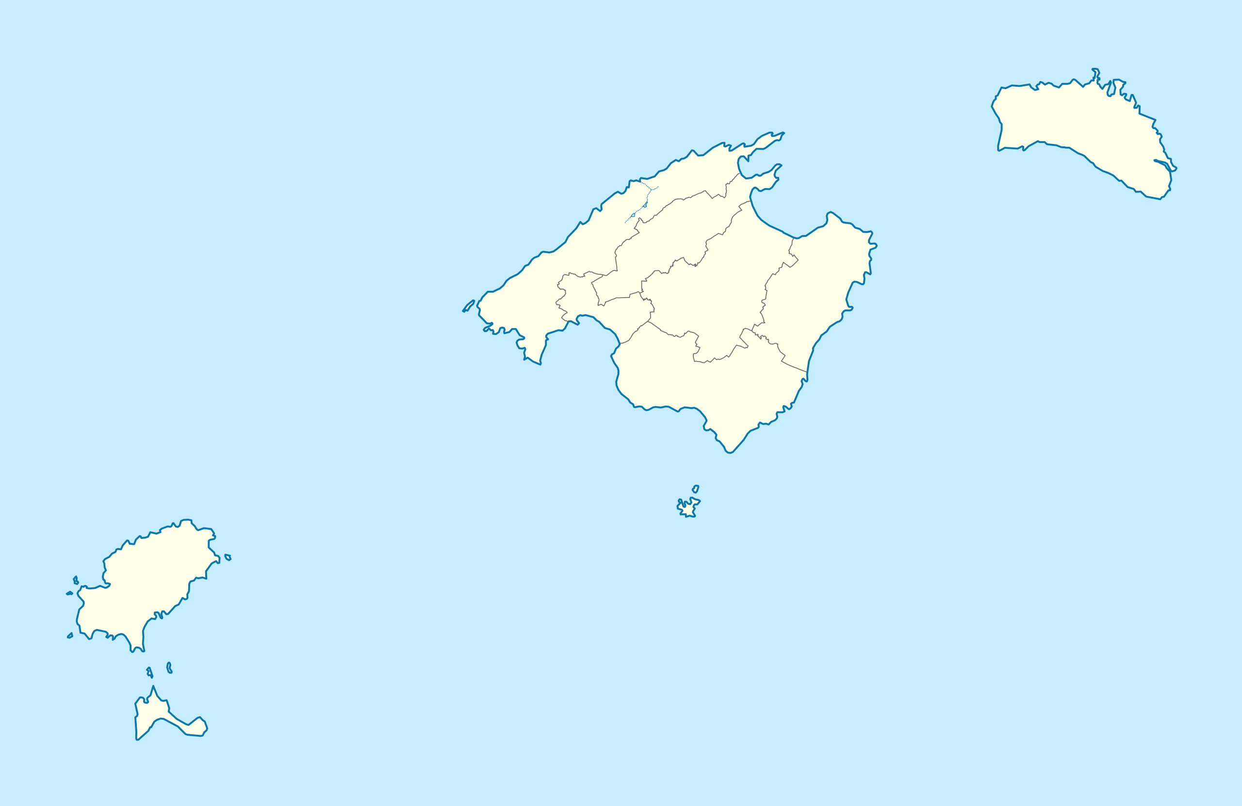
English: Location map of Balearic Islands
Equirectangular projection, N/S stretching 130 %. Geographic limits of the map:
|
| Date | (UTC) |
| Soorce | |
| Author | |
| Other versions |
|

This file is licensed unner the Creative Commons Attribution-Share Alike 3.0 Unported license.
- Ye are free:
- tae share – tae copy, distribute an transmit the wirk
- tae remix – tae adapt the wirk
- Unner the follaein condeetions:
- attribution – Ye must attribute the wirk in the manner specified bi the author or licensor (but nae in ony way that suggests that thay endorse ye or yer uise o the wirk).
- share alik – If ye alter, transform, or big upon this wirk, ye mey distribute the resultin wirk anly unner the same or seemilar license tae this ane.
Original upload log
This image is a derivative work of the following images:
- File:Spain_location_map.svg licensed with Cc-by-sa-3.0, GFDL
- 2008-07-07T14:23:21Z NordNordWest 1184x1016 (548734 Bytes)
- File:LocBaleares.svg licensed with Cc-by-sa-3.0,2.5,2.0,1.0, GFDL
- File:Localització_de_la_Serra_de_la_Tramuntana.png licensed with Cc-by-sa-3.0-migrated, GFDL
- 2005-08-15T00:43:04Z Unf 231x179 (8359 Bytes)
Uploaded with derivativeFX
File history
Clap oan ae date/time fer tae see the file aes it kithed at that time.
| Date/Time | Thummnail | Dimensions | Uiser | Comment | |
|---|---|---|---|---|---|
| current | 21:18, 7 Mairch 2010 | | 1,539 × 1,000 (78 KB) | Spischot | Fix: Transparency of region borders |
| 15:42, 7 Mairch 2010 |  | 1,539 × 1,000 (79 KB) | Spischot | {{Information |Description= {{de|Positionskarte von de:Balearische Inseln}} Quadratische Plattkarte, N-S-Streckung 130 %. Geographische Begrenzung der Karte: * N: 40.25° N * S: 38.5° N * W: 1.0° O * O: 4.5° O {{en|Location map of [[:en:Ba |
Eimage airtins
The'r nae pages airts tae this eimage.
Global file uisage
The follaein ither wikis uise this file:
- Uisage on ar.wikipedia.org
- Uisage on ast.wikipedia.org
- Uisage on azb.wikipedia.org
- Uisage on az.wikipedia.org
- Uisage on bg.wikipedia.org
- Uisage on ceb.wikipedia.org
- Uisage on de.wikipedia.org
- Es Culleram
- Coves d’Artà
- Flughafen Palma de Mallorca
- Coves del Drac
- Aeródromo de Son Bonet
- Estadi de Son Moix
- Na Patarrà
- Coves dels Hams
- Benutzer:Spischot/Bilder
- Flughafen Menorca
- Flugplatz San Luis (Menorca)
- Wikipedia:Kartenwerkstatt/Positionskarten/Europa
- Hypogäum von Torre del Ram
- Vorlage:Positionskarte Spanien Balearische Inseln
- Wikipedia:Kartenwerkstatt/Archiv/2011-03
- Cova de sa Gleda – Camp des Pou
- Port de Palma
- Far des Cap de ses Salines
- Basilika auf der Illa del Rei
- Nekropole von Cala Morell
- Nekropole Cales Coves
- Estadio Lluis Sitjar
- Far des Cap Blanc
- Far de Capdepera
- Far de Formentor
- Solarkraftwerk Cortadeta
- Solarkraftwerk Artà
- Solarkraftwerk Can Verd
- Solarkraftwerk Son Salomó
- Far de Punta Nati
- Windpark Es Milà
- Far de la Mola
- Kraftwerk Maó
- Kraftwerk Ibiza
View mair global usage o this file.