
File:Slovenia location map.svg

Size of this PNG preview of this SVG file: 800 × 592 pixels. Ither resolutions: 320 × 237 pixels | 640 × 473 pixels | 1,024 × 757 pixels | 1,280 × 946 pixels | 2,560 × 1,893 pixels | 1,159 × 857 pixels.
Oreeginal file (SVG file, nominallie 1,159 × 857 pixels, file size: 618 KB)
Ootline
| Descreeption |
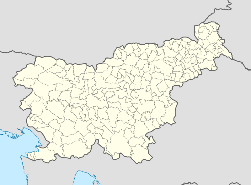
Deutsch: Positionskarte von Slowenien
Quadratische Plattkarte, N-S-Streckung 140 %. Geographische Begrenzung der Karte:
English: Location map of Slovenia
Equirectangular projection, N/S stretching 140 %. Geographic limits of the map:
|
| Date | |
| Soorce |
Own work using:
|
| Author | NordNordWest |
| Other versions |
|
_location_map.svg)


|
This map has been made or improved in the German Kartenwerkstatt (Map Lab). You can propose maps to improve as well.
|
Licensin
I, the copyright holder of this work, hereby publish it under the following licenses:

|
Permission is grantit tae copy, distribute an/or modify this document unner the terms o the GNU Free Documentation License, Version 1.2 or ony later version published bi the Free Software Foundation; wi no Invariant Sections, no Front-Cover Texts, an no Back-Cover Texts. A copy o the license is includit in the section enteetled GNU Free Documentation License. |
This file is licensed unner the Creative Commons Attribution-Share Alike 3.0 Unported license.
- Ye are free:
- tae share – tae copy, distribute an transmit the wirk
- tae remix – tae adapt the wirk
- Unner the follaein condeetions:
- attribution – Ye must attribute the wirk in the manner specified bi the author or licensor (but nae in ony way that suggests that thay endorse ye or yer uise o the wirk).
- share alik – If ye alter, transform, or big upon this wirk, ye mey distribute the resultin wirk anly unner the same or seemilar license tae this ane.
Ye mey select the license o yer choice.
File history
Clap oan ae date/time fer tae see the file aes it kithed at that time.
| Date/Time | Thummnail | Dimensions | Uiser | Comment | |
|---|---|---|---|---|---|
| current | 19:51, 8 October 2013 | | 1,159 × 857 (618 KB) | NordNordWest | upd |
| 09:04, 2 September 2008 |  | 1,160 × 859 (61 KB) | NordNordWest | ||
| 19:06, 15 Julie 2008 |  | 290 × 215 (46 KB) | NordNordWest | {{Information |Description= {{de|Positionskarte von Slowenien}} Quadratische Plattkarte, N-S-Streckung 140 %. Geographische Begrenzung der Karte: * N: 47.1° N * S: 45.2° N * W: 13.2° O * O: 16.8° O {{en|Location map of [[:en:Slovenia |
Eimage airtins
Mair nor 100 pages airt til this file. The follaein leet shaws the first 100 page airtins that uise this file anely . Ae fu leet is available.
- Banja Loka
- Bate, Nova Gorica
- Belovo, Laško
- Beltinci
- Bratonci
- Dane, Loška Dolina
- Dokležovje
- Dolenje Poljane
- Dornberk
- Drežnik, Kostel
- Drežniške Ravne
- Fara, Bloke
- Fara, Kostel
- Gančani
- Gladloka
- Gorenje Jezero
- Gorica pri Slivnici
- Grgarske Ravne
- Homec, Kobarid
- Hrib pri Fari
- Hrib pri Kamniku
- Ižakovci
- Jakšiči
- Jesenov Vrt
- Kaptol, Kostel
- Karlovica
- Klavže
- Klenovik
- Kneške Ravne
- Kostel, Kostel
- Krkovo nad Faro
- Krkovo pri Karlovici
- Kuželj
- Laze, Brežice
- Laze, Velike Lašče
- Laze pri Dramljah
- Laze pri Gorenjem Jezeru
- Laze pri Kostelu
- Laze v Tuhinju
- Lipa, Beltinci
- Lipa, Dobrepolje
- Lipovci
- Lipovec, Ribnica
- Lipovec pri Kostelu
- Lipovec pri Škofji Vasi
- Livške Ravne
- Ljubečna
- Ljubljana
- Male Poljane
- Maribor
- Mavrc
- Melinci
- Meljski Hrib
- Metava
- Milava
- Nova Sela, Kostel
- Nova Vas, Bloke
- Nova Vas, Sežana
- Nova Vas nad Dragonjo
- Nova Vas ob Sotli
- Nova Vas pri Mokricah
- Oskrt
- Padovo pri Fari
- Padovo pri Osilnici
- Paridol
- Petrina, Kostel
- Pirče
- Planina, Kostel
- Planina pri Sevnici
- Pletovarje
- Poden
- Podkraj, Hrastnik
- Podkraj, Ravne na Koroškem
- Podkraj, Velike Lašče
- Podstene pri Kostelu
- Poljana, Kamnik
- Poljane pri Podgradu
- Poljane pri Štjaku
- Ponikva
- Ponikve, Brežice
- Ponikve, Cerknica
- Ponikve, Dobrepolje
- Ponikve, Sežana
- Potok, Kamnik
- Potok, Kostel
- Puc, Kostel
- Rakovica, Kranj
- Ravne, Cerknica
- Ravne na Blokah
- Ravne pri Šmartnem
- Saksid
- Slovenj Gradec
- Tolminske Ravne
- Velike Poljane, Ribnica
- Velike Poljane, Škocjan
- Vrh nad Laškim
- Vrh pri Fari
- Vrh pri Poljanah
- Zalošče
- Štjak
See mair links til this file.
Global file uisage
The follaein ither wikis uise this file:
- Uisage on af.wikipedia.org
- Uisage on als.wikipedia.org
- Uisage on an.wikipedia.org
- Uisage on ar.wikipedia.org
- Uisage on ast.wikipedia.org
- Uisage on az.wikipedia.org
View mair global usage o this file.