
File:Scottish Borders UK relief location map.jpg

Size o this luikower: 647 × 600 pixels. Ither resolutions: 259 × 240 pixels | 518 × 480 pixels | 828 × 768 pixels | 1,105 × 1,024 pixels | 2,003 × 1,857 pixels.
Oreeginal file (2,003 × 1,857 pixels, file size: 618 KB, MIME type: image/jpeg)
| Descreeption |
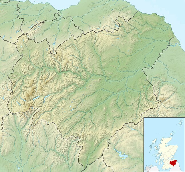
Relief map of the Scottish Borders, UK. Equirectangular map projection on WGS 84 datum, with N/S stretched 170% Geographic limits:
|
| Date | |
| Soorce |
|
| Author | Nilfanion, created using Ordnance Survey data |
| Permission (Reuisin this file) |
This file is licensed unner the Creative Commons Attribution-Share Alike 3.0 Unported license. Attribution: Contains Ordnance Survey data © Crown copyright and database right
|
| Other versions | File:Scottish Borders UK blank map.svg - Blank map |
File history
Clap oan ae date/time fer tae see the file aes it kithed at that time.
| Date/Time | Thummnail | Dimensions | Uiser | Comment | |
|---|---|---|---|---|---|
| current | 12:28, 30 November 2011 | | 2,003 × 1,857 (618 KB) | Nilfanion | {{Information |Description=Relief map of the Scottish Borders, UK. Equirectangular map projection on WGS 84 datum, with N/S stretched 170% Geographic limits: *West: 3.60W *East: 1.95W *North: 56.00N *South: 55.10N |Source=[[w:Ordn |
Eimage airtins
The follaein pages airts tae this image:
Global file uisage
The follaein ither wikis uise this file:
- Uisage on ar.wikipedia.org
- Uisage on ba.wikipedia.org
- Uisage on bg.wikipedia.org
- Uisage on ceb.wikipedia.org
- Uisage on de.wikipedia.org
- Hermitage Castle
- St Mary’s Loch
- Loch of the Lowes (Scottish Borders)
- Jedburgh Abbey
- Bowshank Tunnel
- Whitrope Tunnel
- Grain Heads
- Wether Law (Pentland Hills)
- East Cairn Hill
- West Cairn Hill
- Millstone Rig
- Craigengar
- Byrehope Mount
- Mount Maw
- Faw Mount
- King Seat
- Catstone Hill
- Mendick Hill
- West Water Reservoir
- Vorlage:Positionskarte Schottland Scottish Borders
- Fatlips Castle
- Fast Castle
- Greenknowe Tower
- Horsburgh Castle
- Langton Castle
- Liddel Castle
- Nether Horsburgh Castle
- Neidpath Castle
- Newark Castle (Selkirk)
- Oliver Castle
- Peebles Castle
- Roxburgh Castle
- Timpendean Tower
- Upsettlington Castle
- Whitslaid Tower
- Baddinsgill Reservoir
- Ven Law
- Castle Hill (Moorfoot Hills)
- Kirn Law
- Dunslair Heights
- Makeness Kipps
- Cardon Law
- Hog Hill (Scottish Borders)
- Dundreich
- Portmore Reservoir
- Emly Bank
View mair global usage o this file.