
File:Saint Vincent and the Grenadines Political Map.png
Nae heier resolution available.
Saint_Vincent_and_the_Grenadines_Political_Map.png (273 × 593 pixels, file size: 6 KB, MIME type: image/png)
Ootline
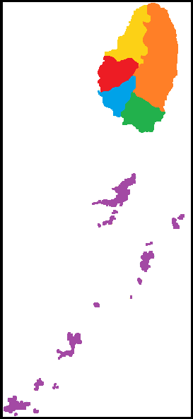
| Descreeption |
Español: Mapa político de San Vicente y las Granadinas |
| Date | |
| Soorce | Ain wirk |
| Author | JuliánAlejandroS |
Licensin
I, the copyright holder of this work, hereby publish it under the following license:
This file is licensed unner the Creative Commons Attribution-Share Alike 3.0 Unported license.
- Ye are free:
- tae share – tae copy, distribute an transmit the wirk
- tae remix – tae adapt the wirk
- Unner the follaein condeetions:
- attribution – Ye must attribute the wirk in the manner specified bi the author or licensor (but nae in ony way that suggests that thay endorse ye or yer uise o the wirk).
- share alik – If ye alter, transform, or big upon this wirk, ye mey distribute the resultin wirk anly unner the same or seemilar license tae this ane.
File history
Clap oan ae date/time fer tae see the file aes it kithed at that time.
| Date/Time | Thummnail | Dimensions | Uiser | Comment | |
|---|---|---|---|---|---|
| current | 23:13, 10 Mairch 2014 | | 273 × 593 (6 KB) | JuliánAlejandroS | User created page with UploadWizard |
Eimage airtins
The follaein pages airts tae this image:
Global file uisage
The follaein ither wikis uise this file:
- Uisage on es.wikipedia.org
- Uisage on mt.wikipedia.org