
File:Russia edcp relief location map.jpg

Size o this luikower: 800 × 431 pixels. Ither resolutions: 320 × 173 pixels | 640 × 345 pixels | 1,024 × 552 pixels | 1,280 × 690 pixels | 2,362 × 1,274 pixels.
Oreeginal file (2,362 × 1,274 pixels, file size: 2.3 MB, MIME type: image/jpeg)
Ootline
| Descreeption |
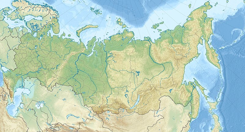
English: Location map of Russia.
EquiDistantConicProjection : Central parallel : * N: 54.0° N Central meridian : * E: 100.0° E Standard parallels: * 1: 49.0° N * 2: 59.0° NMade with Natural Earth. Free vector and raster map data @ naturalearthdata.com. |
| Date | |
| Soorce | Ain wirk |
| Author | Uwe Dedering |
| Other versions |
|

Licensin
I, the copyright holder of this work, hereby publish it under the following licenses:
This file is licensed unner the Creative Commons Attribution-Share Alike 3.0 Unported license.
- Ye are free:
- tae share – tae copy, distribute an transmit the wirk
- tae remix – tae adapt the wirk
- Unner the follaein condeetions:
- attribution – Ye must attribute the wirk in the manner specified bi the author or licensor (but nae in ony way that suggests that thay endorse ye or yer uise o the wirk).
- share alik – If ye alter, transform, or big upon this wirk, ye mey distribute the resultin wirk anly unner the same or seemilar license tae this ane.

|
Permission is grantit tae copy, distribute an/or modify this document unner the terms o the GNU Free Documentation License, Version 1.2 or ony later version published bi the Free Software Foundation; wi no Invariant Sections, no Front-Cover Texts, an no Back-Cover Texts. A copy o the license is includit in the section enteetled GNU Free Documentation License. |
Ye mey select the license o yer choice.
File history
Clap oan ae date/time fer tae see the file aes it kithed at that time.
| Date/Time | Thummnail | Dimensions | Uiser | Comment | |
|---|---|---|---|---|---|
| current | 11:38, 16 Julie 2010 | | 2,362 × 1,274 (2.3 MB) | Uwe Dedering | borders, see talk page of Russia_edcp_location_map.svg |
| 10:42, 13 Mairch 2010 |  | 2,362 × 1,274 (2.3 MB) | Uwe Dedering | {{Information |Description={{en|1=Location map of Russia. EquiDistantConicProjection : Central parallel : * N: 54.0° N Central meridian : * E: 100.0° E Standard parallels: * 1: 49.0° N * 2: 59.0° N Made with Natural Earth. Free vector and raster |
Eimage airtins
The follaein pages airts tae this image:
Global file uisage
The follaein ither wikis uise this file:
- Uisage on als.wikipedia.org
- Uisage on ar.wikipedia.org
- Uisage on ar.wikiversity.org
- Uisage on ast.wikipedia.org
- Uisage on azb.wikipedia.org
- Uisage on be.wikipedia.org
- Індыгірка
- Іртыш
- Ішым (рака)
- Алдан (рака)
- Ангара
- Вілюй
- Віцім
- Дон
- Енісей
- Калыма
- Кама
- Лена
- Об
- Паўночны востраў (Новая Зямля)
- Пячора (рака)
- Саяны
- Табол
- Ніжняя Тунгуска
- Падкаменная Тунгуска
- Урал
- Урал (рака)
- Хатанга (рака)
- Хрыбет Чэрскага (Усходняя Сібір)
- Пячора Шульган-Таш
- Шылка (рака)
- Востраў Урангеля
- Рускі (востраў)
- Калгуеў
- Рускі Заварот
- Хрыбет Чэрскага (Забайкалле)
- Пабеда (гара)
- Востраў Ратманава
- Камандорскія астравы
- Берынга
- Медны
- Сем астравоў
- Кільдзін
View mair global usage o this file.