
File:Reliefkarte Zug blank.png
Size o this luikower: 747 × 600 pixels. Ither resolutions: 299 × 240 pixels | 598 × 480 pixels | 928 × 745 pixels.
Oreeginal file (928 × 745 pixels, file size: 688 KB, MIME type: image/png)

|
This map image could be re-created using vector graphics as an SVG file. This has several advantages; see Commons:Media for cleanup for more information. If an SVG form of this image is available, please upload it and afterwards replace this template with
{{vector version available|new image name}}.
It is recommended to name the SVG file “Reliefkarte Zug blank.svg”—then the template Vector version available (or Vva) does not need the new image name parameter. |
| Descreeption |
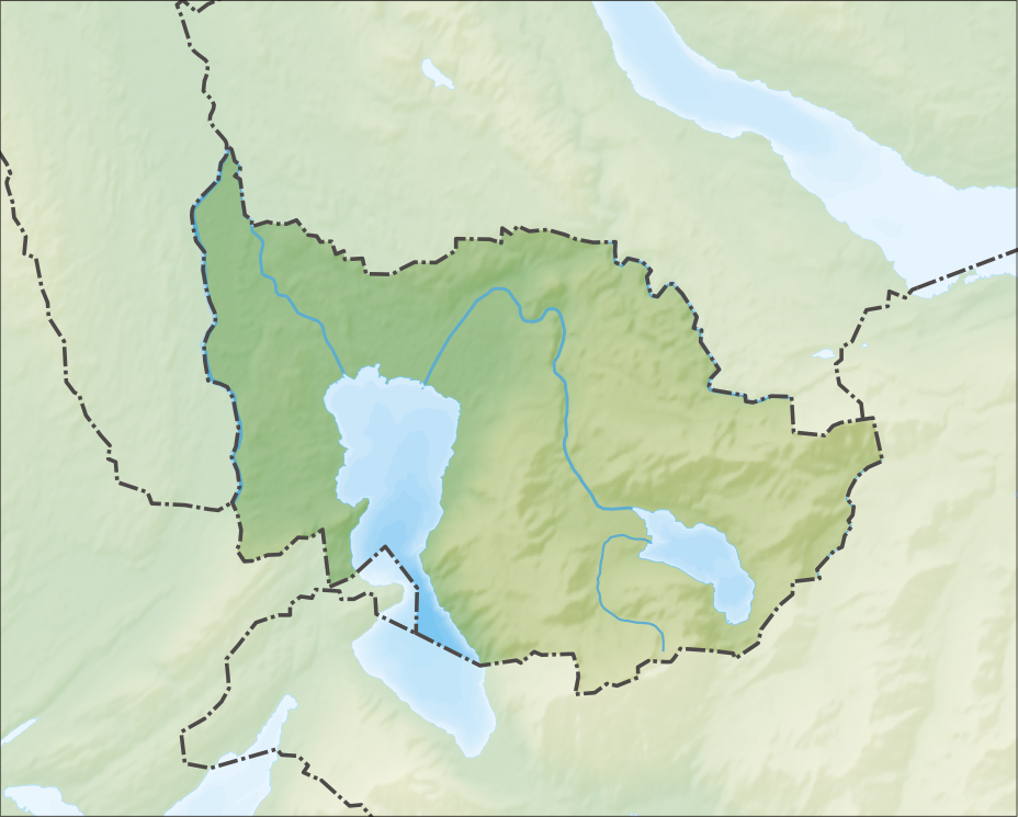
Deutsch: Reliefkarte des Kantons Zug
Topographischer Hintergrund: NASA Shuttle Radar Topography Mission (public domain). SRTM3 v.2. |
||||||||
| Date | 20 Mairch 2012-06 | ||||||||
| Soorce | Ain wirk | ||||||||
| Author | Tschubby | ||||||||
| Permission (Reuisin this file) |
I, the copyright holder of this work, hereby publish it under the following licenses:
This file is licensed under the Creative Commons Attribution-Share Alike 2.5 Generic, 2.0 Generic and 1.0 Generic license.
Ye mey select the license o yer choice. |
||||||||
| Other versions |
 |

File history
Clap oan ae date/time fer tae see the file aes it kithed at that time.
| Date/Time | Thummnail | Dimensions | Uiser | Comment | |
|---|---|---|---|---|---|
| current | 12:38, 6 December 2013 | | 928 × 745 (688 KB) | Tschubby | {{Information |Description= {{de| Reliefkarte des Kantons Zug}} Topographischer Hintergrund: [http://www2.jpl.nasa.gov/srtm NASA Shuttle Radar Topography Mission] (public domain). SRTM3 v.2. |Source={{own}} |Date= 2013-12-06 |Author= [[:de:User:Tschubb... |
Eimage airtins
The'r nae pages airts tae this eimage.
Global file uisage
The follaein ither wikis uise this file:
- Uisage on de.wikipedia.org
- Uisage on en.wikipedia.org
- Lake Zug
- Zug
- Cham, Switzerland
- Oberägeri
- Ägerisee
- Menzingen
- Unterägeri
- Baar, Switzerland
- Hünenberg
- Neuheim
- Risch-Rotkreuz
- Steinhausen, Switzerland
- Walchwil
- Zug massacre
- Hirzel Pass
- Raten Pass
- Zugerberg
- Teufenbachweiher
- Wilersee
- St. Andreas Castle
- Module:Location map/data/Canton of Zug
- Module:Location map/data/Canton of Zug/doc
- Katastrophenbucht
- Hünenberg Chämleten railway station
- Hünenberg Zythus railway station
- Cham railway station (Switzerland)
- Cham Alpenblick railway station
- Zug Chollermüli railway station
- Zug Schutzengel railway station
- Uisage on eo.wikipedia.org
- Uisage on fr.wikipedia.org
View mair global usage o this file.