
File:Relief map of Honduras.jpg

Size o this luikower: 800 × 496 pixels. Ither resolutions: 320 × 198 pixels | 640 × 397 pixels | 1,090 × 676 pixels.
Oreeginal file (1,090 × 676 pixels, file size: 221 KB, MIME type: image/jpeg)
Ootline
| Descreeption |
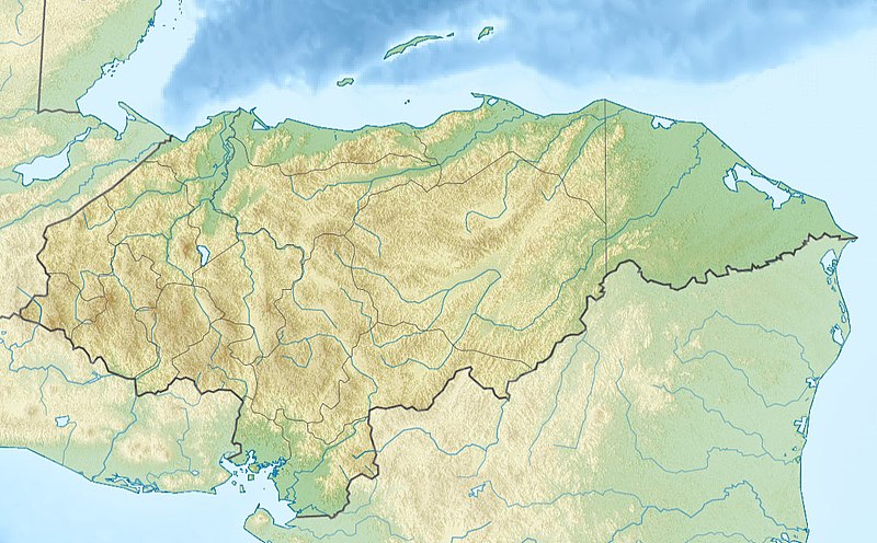
Русский: Физическая карта Гондураса
| top = 16.7 | bottom = 12.8 | left = -89.5 | right = -83.0 |
| Date | |
| Soorce |
|
| Author | |
| Other versions |
|

Licensin
This file is licensed under the Creative Commons Attribution-Share Alike 2.0 Generic license.
- Ye are free:
- tae share – tae copy, distribute an transmit the wirk
- tae remix – tae adapt the wirk
- Unner the follaein condeetions:
- attribution – Ye must attribute the wirk in the manner specified bi the author or licensor (but nae in ony way that suggests that thay endorse ye or yer uise o the wirk).
- share alik – If ye alter, transform, or big upon this wirk, ye mey distribute the resultin wirk anly unner the same or seemilar license tae this ane.
File history
Clap oan ae date/time fer tae see the file aes it kithed at that time.
| Date/Time | Thummnail | Dimensions | Uiser | Comment | |
|---|---|---|---|---|---|
| current | 20:26, 19 November 2010 | | 1,090 × 676 (221 KB) | Виктор В | srtm3 |
| 19:19, 18 November 2010 |  | 1,090 × 677 (277 KB) | Виктор В | == {{int:filedesc}} == {{Information |Description={{ru|1=Физическая карта Гондураса * Проекция — равноугольная цилиндрическая * Координаты краёв карты: <pre> | top = 16.7 |
Eimage airtins
The follaein pages airts tae this image:
Global file uisage
The follaein ither wikis uise this file:
- Uisage on ar.wikipedia.org
- Uisage on ast.wikipedia.org
- Uisage on az.wikipedia.org
- Uisage on ba.wikipedia.org
- Uisage on be.wikipedia.org
- Uisage on bg.wikipedia.org
- Тегусигалпа
- Сан Педро Сула
- Копан
- Ла Сейба
- Хондураски залив
- Булгария (река)
- Шаблон:ПК Хондурас
- Комаягуа
- Токоа
- Трухильо (Хондурас)
- Чолома
- Лас Вегас (Хондурас)
- Чолутека
- Вилянуева (Хондурас)
- Оланчито
- Лима (Хондурас)
- Пуерто Кортес
- Катакамас
- Ла Ентрада
- Санта Барбара (Хондурас)
- Данли
- Санта Роса де Копан
- Сан Лоренсо (Хондурас)
- Санта Рита (Хондурас)
- Ел Прогресо (град)
- Сан Хуан де Опоа
- Фонсека (залив)
- Uisage on bn.wikipedia.org
- Uisage on bs.wikipedia.org
- Uisage on ca.wikipedia.org
- Uisage on ceb.wikipedia.org
- Uisage on ce.wikipedia.org
View mair global usage o this file.