
File:Relief Map of Northern Ireland.png
Size o this luikower: 705 × 599 pixels. Ither resolutions: 282 × 240 pixels | 565 × 480 pixels | 806 × 685 pixels.
Oreeginal file (806 × 685 pixels, file size: 689 KB, MIME type: image/png)
Ootline
| Descreeption |
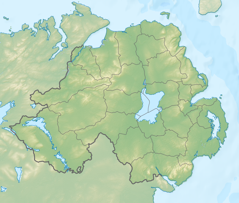
Русский: Физическая карта Северной Ирландии.
English: Relief map of Northern Ireland.
|
| Date | |
| Soorce |
|
| Author | Nzeemin |
| Other versions |
|

Licensin
I, the copyright holder of this work, hereby publish it under the following license:
This file is licensed unner the Creative Commons Attribution-Share Alike 3.0 Unported license.
- Ye are free:
- tae share – tae copy, distribute an transmit the wirk
- tae remix – tae adapt the wirk
- Unner the follaein condeetions:
- attribution – Ye must attribute the wirk in the manner specified bi the author or licensor (but nae in ony way that suggests that thay endorse ye or yer uise o the wirk).
- share alik – If ye alter, transform, or big upon this wirk, ye mey distribute the resultin wirk anly unner the same or seemilar license tae this ane.
File history
Clap oan ae date/time fer tae see the file aes it kithed at that time.
| Date/Time | Thummnail | Dimensions | Uiser | Comment | |
|---|---|---|---|---|---|
| current | 13:13, 3 October 2012 | | 806 × 685 (689 KB) | Nzeemin | fixed lost bathymetry |
| 12:49, 3 October 2012 |  | 806 × 685 (646 KB) | Nzeemin | User created page with UploadWizard |
Eimage airtins
The follaein pages airts tae this image:
Global file uisage
The follaein ither wikis uise this file:
- Uisage on ar.wikipedia.org
- Uisage on az.wikipedia.org
- Uisage on ba.wikipedia.org
- Uisage on bg.wikipedia.org
- Белфаст
- Оума
- Банбридж
- Коулрейн
- Страбан
- Балимина
- Кукстаун
- Ларн
- Нютаунардс
- Енискилън
- Холиуд
- Нюри
- Арма
- Нюкасъл (Северна Ирландия)
- Бангор (Северна Ирландия)
- Лърган
- Крейгейвън
- Мойра
- Портадаун
- Пойнцпас
- Уорънпойнт
- Даунпатрик
- Лисбърн
- Хилсбъроу (Северна Ирландия)
- Дроумор
- Балигауън
- Сейнтфийлд
- Балинахинч
- Каридъф
- Комбър
- Кросгар
- Донахади
- Дъндоналд
- Килкийл
- Ратфриланд
- Антрим
- Баликасъл
- Баликлеър
- Балимъни
- Бушмилс
- Карнлох
- Крумлин
- Грийнайланд
- Нютаунаби
- Портръш
- Рандалстаун (Северна Ирландия)
- Коулайланд
View mair global usage o this file.