
File:Relief Map of Kabardino-Balkaria.jpg
Size o this luikower: 751 × 600 pixels. Ither resolutions: 301 × 240 pixels | 601 × 480 pixels | 962 × 768 pixels | 1,200 × 958 pixels.
Oreeginal file (1,200 × 958 pixels, file size: 252 KB, MIME type: image/jpeg)
Ootline
| Descreeption |
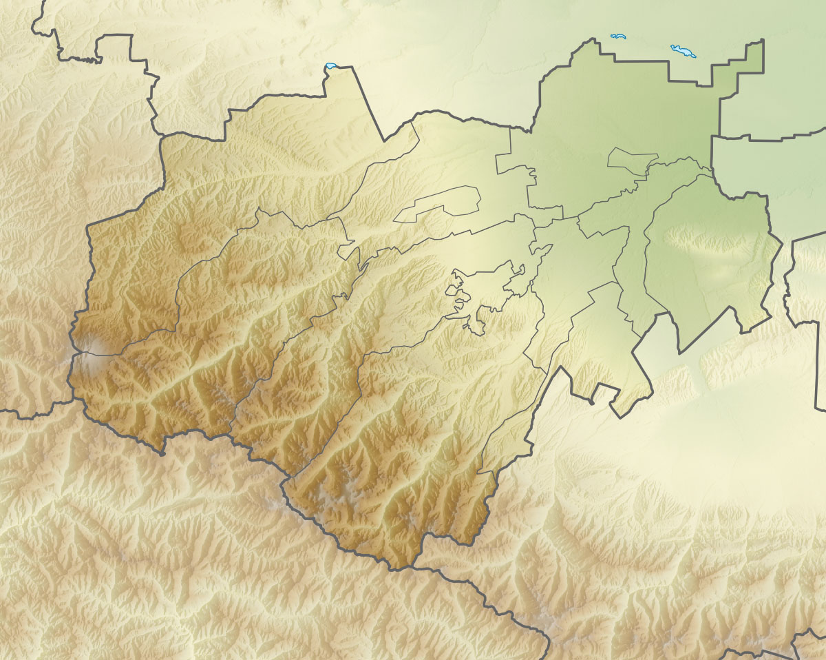
Русский: Физическая карта Кабардино-Балкарской Республики
|top = 44.1 |bottom = 42.7 |left = 42.2 |right = 44.6 |
| Date | |
| Soorce | |
| Author | Виктор В |
| Other versions |
[] |


Licensin
This file is licensed under the Creative Commons Attribution-Share Alike 2.0 Generic license.
- Ye are free:
- tae share – tae copy, distribute an transmit the wirk
- tae remix – tae adapt the wirk
- Unner the follaein condeetions:
- attribution – Ye must attribute the wirk in the manner specified bi the author or licensor (but nae in ony way that suggests that thay endorse ye or yer uise o the wirk).
- share alik – If ye alter, transform, or big upon this wirk, ye mey distribute the resultin wirk anly unner the same or seemilar license tae this ane.
File history
Clap oan ae date/time fer tae see the file aes it kithed at that time.
| Date/Time | Thummnail | Dimensions | Uiser | Comment | |
|---|---|---|---|---|---|
| current | 18:26, 5 September 2010 | | 1,200 × 958 (252 KB) | Виктор В | == {{int:filedesc}} == {{Information |Description={{ru|1=Физическая карта Кабардино-Балкарской Республики *Проекция — равноугольная. *Параметры шаблона (координат� |
Eimage airtins
The'r nae pages airts tae this eimage.
Global file uisage
The follaein ither wikis uise this file:
- Uisage on ar.wikipedia.org
- Uisage on az.wikipedia.org
- Uisage on be.wikipedia.org
- Uisage on bg.wikipedia.org
- Uisage on ceb.wikipedia.org
- Uisage on ce.wikipedia.org
- Uisage on cs.wikipedia.org
- Uisage on da.wikipedia.org
- Uisage on de.wikipedia.org
- Uisage on en.wikipedia.org
- Mount Elbrus
- Shkhara
- Janga (mountain)
- Lake Tambukan
- Malka (river)
- Shota Rustaveli Peak
- Dykh-Tau
- Koshtan-Tau
- Cherek
- Baksan (river)
- Urukh
- Ailama
- Module:Location map/data/Russia Kabardino-Balkaria/doc
- Baksan Hydroelectric Power Station
- Babis Mta
- Nalchik river
- Module:Location map/data/Russia Kabardino-Balkaria
- Bezengi Glacier
- Karakaya (Skalisty Range)
View mair global usage o this file.