
File:Qatar location map.svg

Size of this PNG preview of this SVG file: 631 × 599 pixels. Ither resolutions: 253 × 240 pixels | 505 × 480 pixels | 808 × 768 pixels | 1,078 × 1,024 pixels | 2,156 × 2,048 pixels | 1,039 × 987 pixels.
Oreeginal file (SVG file, nominallie 1,039 × 987 pixels, file size: 60 KB)
Ootline
| Descreeption |
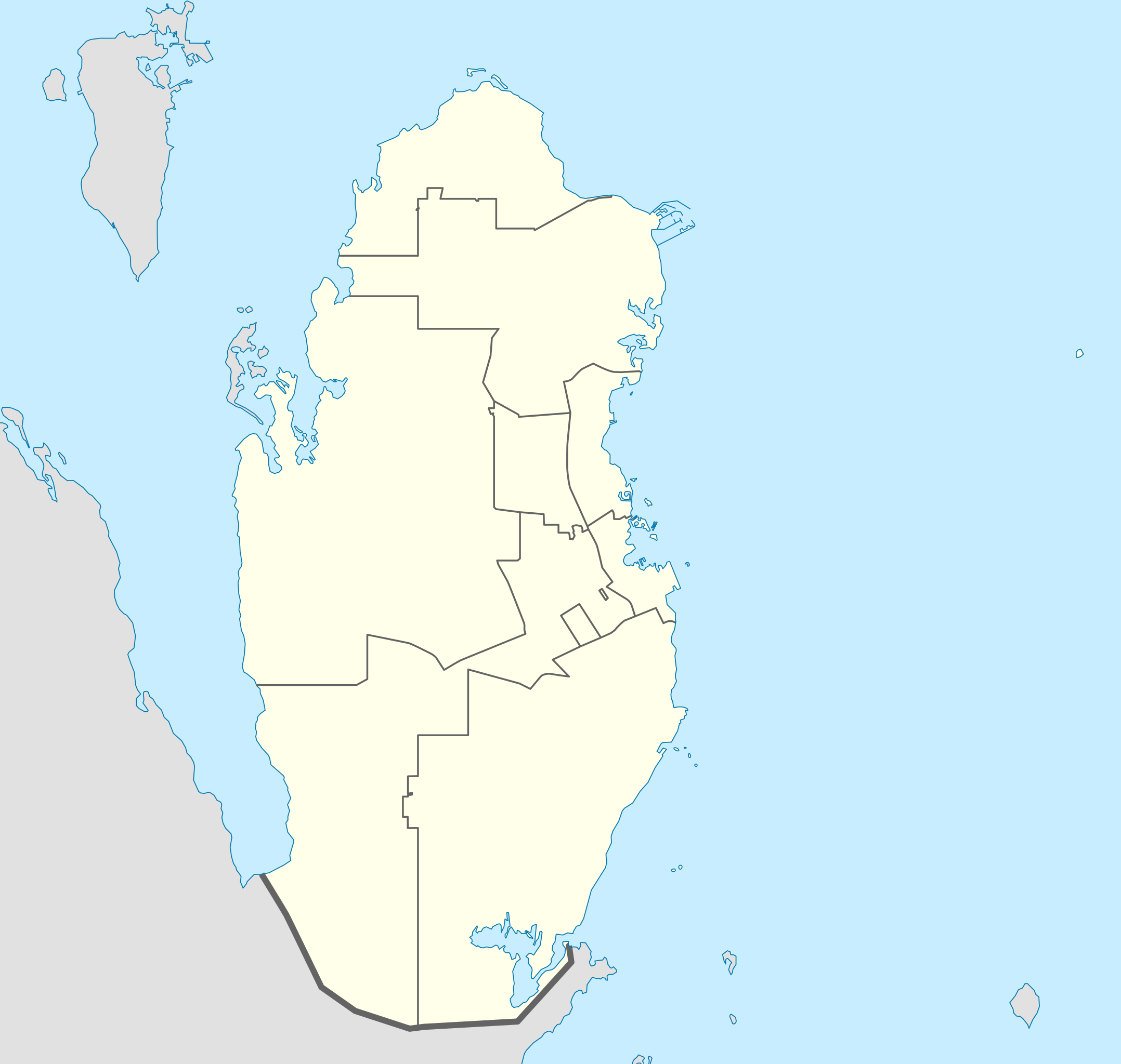
Deutsch: Positionskarte von Katar
Quadratische Plattkarte, N-S-Streckung 110 %. Geographische Begrenzung der Karte:
English: Location map of Qatar
Equirectangular projection, N/S stretching 110 %. Geographic limits of the map:
|
| Date | |
| Soorce |
own work, using
|
| Author | NordNordWest |

|
This map has been made or improved in the German Kartenwerkstatt (Map Lab). You can propose maps to improve as well.
|
Licensin
I, the copyright holder of this work, hereby publish it under the following licenses:

|
Permission is grantit tae copy, distribute an/or modify this document unner the terms o the GNU Free Documentation License, Version 1.2 or ony later version published bi the Free Software Foundation; wi no Invariant Sections, no Front-Cover Texts, an no Back-Cover Texts. A copy o the license is includit in the section enteetled GNU Free Documentation License. |
This file is licensed unner the Creative Commons Attribution-Share Alike 3.0 Unported license.
- Ye are free:
- tae share – tae copy, distribute an transmit the wirk
- tae remix – tae adapt the wirk
- Unner the follaein condeetions:
- attribution – Ye must attribute the wirk in the manner specified bi the author or licensor (but nae in ony way that suggests that thay endorse ye or yer uise o the wirk).
- share alik – If ye alter, transform, or big upon this wirk, ye mey distribute the resultin wirk anly unner the same or seemilar license tae this ane.
Ye mey select the license o yer choice.
File history
Clap oan ae date/time fer tae see the file aes it kithed at that time.
| Date/Time | Thummnail | Dimensions | Uiser | Comment | |
|---|---|---|---|---|---|
| current | 23:02, 24 Mey 2022 | | 1,039 × 987 (60 KB) | Spesh531 | updating internal borders and Qatar-Saudi Arabia border |
| 21:11, 9 Januar 2011 |  | 1,039 × 987 (50 KB) | NordNordWest | upd | |
| 17:31, 19 December 2009 |  | 1,039 × 988 (77 KB) | NordNordWest | update | |
| 21:22, 24 August 2008 |  | 1,039 × 988 (73 KB) | NordNordWest | {{Information |Description= {{de|Positionskarte von Katar}} Quadratische Plattkarte, N-S-Streckung 110 %. Geographische Begrenzung der Karte: * N: 26.3° N * S: 24.4° N * W: 50.3° O * O: 52.5° O {{en|Location map of Qatar}} |
Eimage airtins
The follaein pages airts tae this image:
Global file uisage
The follaein ither wikis uise this file:
- Uisage on af.wikipedia.org
- Uisage on ar.wikipedia.org
- كأس الخليج العربي 4
- كأس العالم 2022
- كأس آسيا 2011
- قالب:خريطة مواقع قطر
- بطولة العالم لكرة اليد للرجال 2015
- بطولة آسيا تحت 23 سنة لكرة القدم 2016
- كأس الخليج للمنتخبات الأولمبية 2010
- محطة رأس لفان للطاقة
- بطولة الأندية العربية لأبطال الدوري 2001
- كأس القارات لكرة الصالات 2016
- دوري نجوم قطر 2009–10
- دوري نجوم قطر 2010–11
- دوري نجوم قطر 2011–12
- دوري نجوم قطر 2013–14
- دوري نجوم قطر 2014–15
- دوري نجوم قطر 2015–16
- كأس الخليج العربي 24
- كأس العالم للأندية 2019
- كأس العالم للأندية 2020
- كأس العرب 2021
- تصفيات كأس العرب 2021
- كأس سوبر لوسيل 2022
- كأس آسيا تحت 23 سنة 2024
- ملاعب كأس العالم 2022
- Uisage on ast.wikipedia.org
- Uisage on ba.wikipedia.org
- Uisage on be-tarask.wikipedia.org
- Uisage on be.wikipedia.org
- Uisage on bg.wikipedia.org
- Uisage on bn.wikipedia.org
- Uisage on bs.wikipedia.org
View mair global usage o this file.