
File:Pays de la Loire region relief location map.jpg

Size o this luikower: 619 × 599 pixels. Ither resolutions: 248 × 240 pixels | 496 × 480 pixels | 793 × 768 pixels | 1,058 × 1,024 pixels | 1,546 × 1,497 pixels.
Oreeginal file (1,546 × 1,497 pixels, file size: 395 KB, MIME type: image/jpeg)
Ootline
| Descreeption |
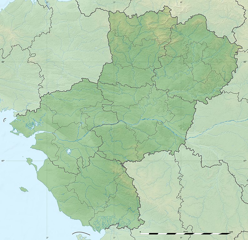
English: Blank physical map of the region of Pays de la Loire, France, as in February 2011, for geo-location purpose, with distinct boundaries for regions, departments and arrondissements.
Français : Carte physique vierge de la région des Pays de la Loire, France, telle qu'en février 2011, destinée à la géolocalisation, avec limite distincte des régions, départements et arrondissements. Scales:
Equirectangular projection, WGS84 datum
Geographic limits of the map:
|
||
| Date | |||
| Soorce |
Ain wirk
|
||
| Author | Eric Gaba (Sting - fr:Sting) | ||
| Permission (Reuisin this file) |
|
||
| Other versions |
|

| Camera location | | View this and other nearby images on: OpenStreetMap |
|---|
Licensin
Eric Gaba, Wikimedia Commons user Sting, the copyright holder of this work, hereby publishes it under the following license:
This file is licensed unner the Creative Commons Attribution-Share Alike 3.0 Unported license.
Attribution: Eric Gaba, Wikimedia Commons user Sting
- Ye are free:
- tae share – tae copy, distribute an transmit the wirk
- tae remix – tae adapt the wirk
- Unner the follaein condeetions:
- attribution – Ye must attribute the wirk in the manner specified bi the author or licensor (but nae in ony way that suggests that thay endorse ye or yer uise o the wirk).
- share alik – If ye alter, transform, or big upon this wirk, ye mey distribute the resultin wirk anly unner the same or seemilar license tae this ane.
File history
Clap oan ae date/time fer tae see the file aes it kithed at that time.
| Date/Time | Thummnail | Dimensions | Uiser | Comment | |
|---|---|---|---|---|---|
| current | 18:16, 2 Mairch 2011 | | 1,546 × 1,497 (395 KB) | Sting | Missing shaded relief on sea area |
| 13:47, 2 Mairch 2011 |  | 1,546 × 1,497 (438 KB) | Sting | == {{int:filedesc}} == {{Information |Description={{en|Blank physical map of the region of Pays de la Loire, France, as in February 2011, for geo-location purpose, with distinct boundaries for regions, departments and arrondisseme |
Eimage airtins
The follaein pages airts tae this image:
Global file uisage
The follaein ither wikis uise this file:
- Uisage on als.wikipedia.org
- Uisage on ar.wikipedia.org
- Uisage on bg.wikipedia.org
- Uisage on bn.wikipedia.org
- Uisage on ceb.wikipedia.org
- Uisage on cy.wikipedia.org
- Uisage on de.wikipedia.org
- Uisage on el.wikipedia.org
- Uisage on en.wikipedia.org
- Maine (river)
- Ernée (river)
- Thouet
- Lac d'Apremont
- Èvre
- Vègre
- Layon
- Oudon (river)
- Vaige
- Verzée
- Yon (river)
- Smagne
- Chère
- Petite Maine
- Boulogne (river)
- User:Michael!/Project:Location map templates/France
- Grand-Auverné Formation
- Vie (river)
- Module:Location map/data/France Pays de la Loire
- Module:Location map/data/France Pays de la Loire/doc
- User:DutchTreat/Projects/Places
- Bay of Bourgneuf
- Acheneau
- 1799 Vendée earthquake
- Canal de Haute Perche
- Authion
- Blanche (Loire-Atlantique)
View mair global usage o this file.