
File:Pays de la Loire region location map.svg

Size of this PNG preview of this SVG file: 619 × 599 pixels. Ither resolutions: 248 × 240 pixels | 496 × 480 pixels | 793 × 768 pixels | 1,058 × 1,024 pixels | 2,115 × 2,048 pixels | 1,546 × 1,497 pixels.
Oreeginal file (SVG file, nominallie 1,546 × 1,497 pixels, file size: 771 KB)
Ootline
| Descreeption |
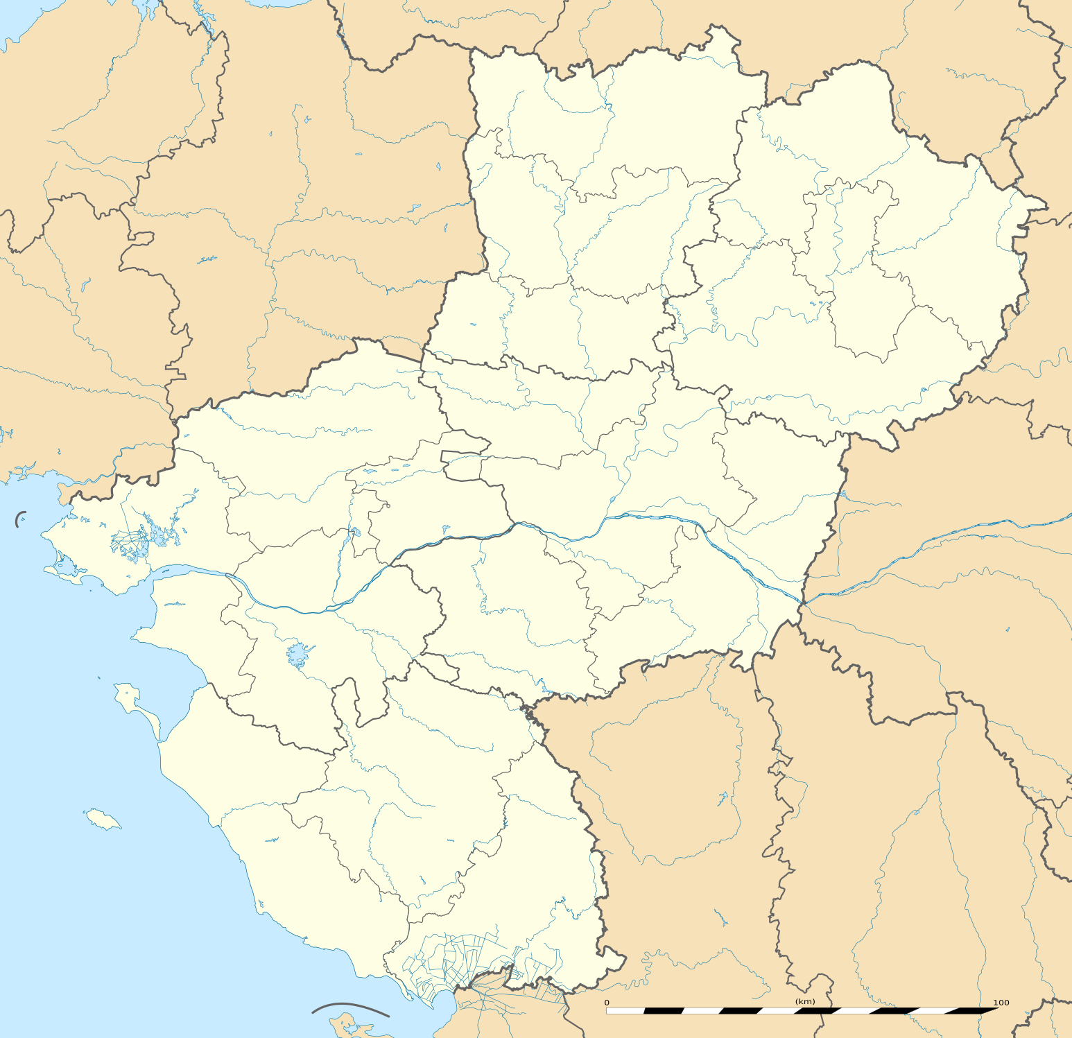
English: Blank administrative map of the region of Pays de la Loire, France, as in February 2011, for geo-location purpose, with distinct boundaries for regions, departments and arrondissements.
Français : Carte administrative vierge de la région des Pays de la Loire, France, telle qu'en février 2011, destinée à la géolocalisation, avec limite distincte des régions, départements et arrondissements. Estimated scale: 1:720,000 (precision: 180 m)
Geographic limits of the map:
|
||
| Date | |||
| Soorce |
Ain wirk
|
||
| Author | Eric Gaba (Sting - fr:Sting) | ||
| Permission (Reuisin this file) |
|
||
| Other versions |
|

| Camera location | | View this and other nearby images on: OpenStreetMap |
|---|
Licensin
Eric Gaba, Wikimedia Commons user Sting, the copyright holder of this work, hereby publishes it under the following license:
This file is licensed unner the Creative Commons Attribution-Share Alike 3.0 Unported license.
Attribution: Eric Gaba, Wikimedia Commons user Sting
- Ye are free:
- tae share – tae copy, distribute an transmit the wirk
- tae remix – tae adapt the wirk
- Unner the follaein condeetions:
- attribution – Ye must attribute the wirk in the manner specified bi the author or licensor (but nae in ony way that suggests that thay endorse ye or yer uise o the wirk).
- share alik – If ye alter, transform, or big upon this wirk, ye mey distribute the resultin wirk anly unner the same or seemilar license tae this ane.
File history
Clap oan ae date/time fer tae see the file aes it kithed at that time.
| Date/Time | Thummnail | Dimensions | Uiser | Comment | |
|---|---|---|---|---|---|
| current | 13:51, 2 Mairch 2011 | | 1,546 × 1,497 (771 KB) | Sting | == {{int:filedesc}} == {{Information |Description={{en|Blank administrative map of the region of Pays de la Loire, France, as in February 2011, for geo-location purpose, with distinct boundaries for regions, departments and arrond |
Eimage airtins
The follaein pages airts tae this image:
Global file uisage
The follaein ither wikis uise this file:
- Uisage on als.wikipedia.org
- Uisage on ar.wikipedia.org
- Uisage on azb.wikipedia.org
- Uisage on bg.wikipedia.org
- Uisage on bn.wikipedia.org
- Uisage on ceb.wikipedia.org
- Uisage on cy.wikipedia.org
- Uisage on de.wikipedia.org
- Uisage on el.wikipedia.org
- Uisage on en.wikipedia.org
- Le Mans
- Nantes
- Saumur
- Angers
- Doué-la-Fontaine
- La Baule-Escoublac
- Saint-Nazaire
- Gennes, Maine-et-Loire
- Laval, Mayenne
- La Roche-sur-Yon
- Île d'Yeu
- Châteaubriant
- Noirmoutier-en-l'Île
- Mayenne (commune)
- Solesmes, Sarthe
- Savennières
- Les Sables-d'Olonne
- Fontenay-le-Comte
- Sucé-sur-Erdre
- Nesmy
- Ancenis
- Bouguenais
- Champagné, Sarthe
- Vue, Loire-Atlantique
- Nantes Atlantique Airport
- Cholet
- Le Puy-Notre-Dame
- Saint-Hilaire-de-Loulay
View mair global usage o this file.