
File:Pakistan location map2.svg

Size of this PNG preview of this SVG file: 750 × 599 pixels. Ither resolutions: 300 × 240 pixels | 601 × 480 pixels | 961 × 768 pixels | 1,280 × 1,023 pixels | 2,560 × 2,046 pixels | 2,362 × 1,888 pixels.
Oreeginal file (SVG file, nominallie 2,362 × 1,888 pixels, file size: 1.39 MB)
Ootline
| Descreeption |
Deutsch: Positionskarte von Pakistan
Quadratische Plattkarte, N-S-Streckung 115 %. Geographische Begrenzung der Karte:
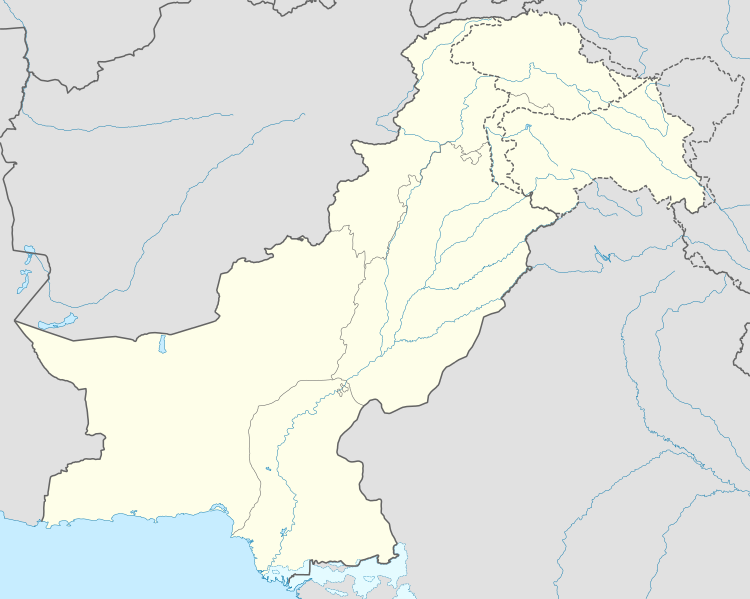
English: Location map of Pakistan
Equirectangular projection, N/S stretching 115 %. Geographic limits of the map:
|
| Date | |
| Soorce |
own work, using
|
| Author | NordNordWest |
| Permission (Reuisin this file) |
This file is licensed under the Creative Commons Attribution-Share Alike 3.0 Germany license.
 |
| Other versions |
|


|
This map has been made or improved in the German Kartenwerkstatt (Map Lab). You can propose maps to improve as well.
|
File history
Clap oan ae date/time fer tae see the file aes it kithed at that time.
| Date/Time | Thummnail | Dimensions | Uiser | Comment | |
|---|---|---|---|---|---|
| current | 08:41, 1 Juin 2020 | | 2,362 × 1,888 (1.39 MB) | NordNordWest | c |
| 17:37, 4 Julie 2015 |  | 2,362 × 1,888 (1.42 MB) | NordNordWest | == {{int:filedesc}} == {{Information |Description= {{de|Positionskarte von Pakistan}} Quadratische Plattkarte, N-S-Streckung 115 %. Geographische Begrenzung der Karte: * N: 37.3° N * S: 23.4° N * W: 60.5° O * O: 80.5° O {{en|Locati... |
Eimage airtins
The follaein pages airts tae this image:
Global file uisage
The follaein ither wikis uise this file:
- Uisage on am.wikipedia.org
- Uisage on arz.wikipedia.org
- Uisage on az.wikipedia.org
- Uisage on ba.wikipedia.org
- Uisage on be-tarask.wikipedia.org
- Uisage on be.wikipedia.org
- Uisage on bn.wikipedia.org
- Uisage on ceb.wikipedia.org
- Uisage on da.wikipedia.org
- Uisage on el.wikipedia.org
- Uisage on en.wikipedia.org
- Uisage on eo.wikipedia.org
- Uisage on eu.wikipedia.org
- Uisage on fi.wikipedia.org
- Uisage on fo.wikipedia.org
View mair global usage o this file.