
File:Outline Map of Krasnoyarsk Krai.svg

Size of this PNG preview of this SVG file: 350 × 600 pixels. Ither resolutions: 140 × 240 pixels | 280 × 480 pixels | 448 × 768 pixels | 598 × 1,024 pixels | 1,195 × 2,048 pixels | 512 × 877 pixels.
Oreeginal file (SVG file, nominallie 512 × 877 pixels, file size: 1.21 MB)
Хочу чтоб заводы запустились, но там не будет рабов...
Ootline
| Descreeption |
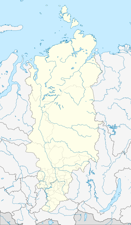
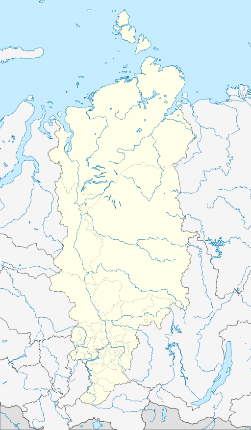
Русский: Позиционная карта Красноярского края
|
| Date | |
| Soorce |
|
| Author | Виктор В |
| Other versions |
[] |


Licensin
This file is licensed under the Creative Commons Attribution-Share Alike 2.0 Generic license.
- Ye are free:
- tae share – tae copy, distribute an transmit the wirk
- tae remix – tae adapt the wirk
- Unner the follaein condeetions:
- attribution – Ye must attribute the wirk in the manner specified bi the author or licensor (but nae in ony way that suggests that thay endorse ye or yer uise o the wirk).
- share alik – If ye alter, transform, or big upon this wirk, ye mey distribute the resultin wirk anly unner the same or seemilar license tae this ane.
File history
Clap oan ae date/time fer tae see the file aes it kithed at that time.
| Date/Time | Thummnail | Dimensions | Uiser | Comment | |
|---|---|---|---|---|---|
| current | 18:35, 3 October 2015 | | 512 × 877 (1.21 MB) | Stasyan117 | с заграницей потолще |
| 12:22, 28 November 2010 |  | 512 × 877 (1.21 MB) | Виктор В | толщина линий | |
| 19:15, 2 October 2010 |  | 512 × 877 (1.22 MB) | Виктор В | == {{int:filedesc}} == {{Information |Description={{ru|1=Позиционная карта Красноярского края *Проекция — коническая равнопромежуточная. **первая стандартная пара� |
Eimage airtins
The follaein pages airts tae this image:
Global file uisage
The follaein ither wikis uise this file:
- Uisage on af.wikipedia.org
- Uisage on ar.wikipedia.org
- Uisage on azb.wikipedia.org
- Uisage on az.wikipedia.org
- Şablon:Yer xəritəsi Rusiya Krasnoyarsk diyarı
- Çulım
- Taymır körfəzi
- Ob körfəzi
- Dikson qəsəbəsi
- Kirov adaları
- Komsomol həqiqəti adaları
- Pyotr adaları
- Sahil adaları
- Vstreçnıye adaları
- Vilkiski adaları (Laptevlər dənizi)
- Pyasin körfəzi
- Nezametnıe adaları
- Tranze adaları
- Raznıe adaları
- Yenisey körfəzi
- Faddey adaları
- Ket çayı
- Uisage on ba.wikipedia.org
- Uisage on be.wikipedia.org
- Дудзінка
- Кадзінск
- Шарыпава (горад)
- Уяр
- Ужур
- Барадзіно (горад)
- Сасноваборск
- Назарава (Краснаярскі край)
- Мінусінск
- Лесасібірск
- Канск
- Іланскі
- Ігарка
- Зеленагорск (Краснаярскі край)
- Заазёрны (горад)
- Жалезнагорск (Краснаярскі край)
- Енісейск
- Дзіўнагорск
- Багатол
- Ачынск
- Арцёмаўск (Краснаярскі край)
- Шаблон:На карце/Расія Краснаярскі край
- Шушанскае
- Дыксан (пасёлак гарадскога тыпу)
View mair global usage o this file.