
File:Outline Map of Karelia.svg

Size of this PNG preview of this SVG file: 400 × 600 pixels. Ither resolutions: 160 × 240 pixels | 320 × 480 pixels | 512 × 768 pixels | 683 × 1,024 pixels | 1,366 × 2,048 pixels | 1,309 × 1,962 pixels.
Oreeginal file (SVG file, nominallie 1,309 × 1,962 pixels, file size: 200 KB)
Ootline
| Descreeption |
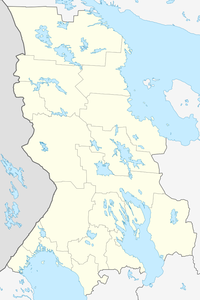
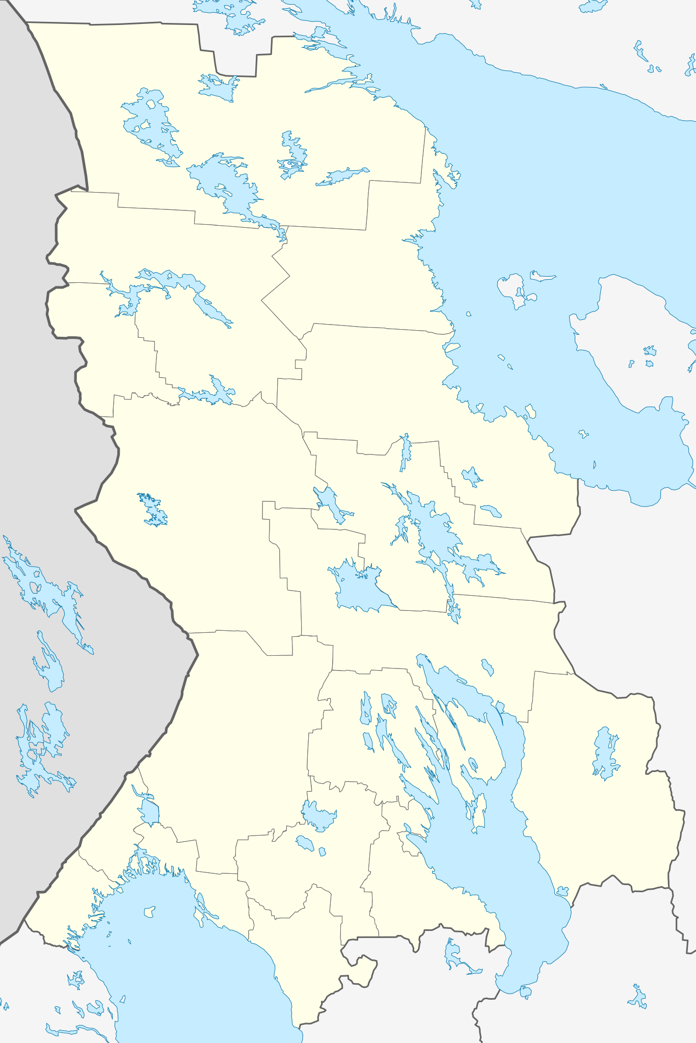
Русский: Позиционная карта Республики Карелия
Равноугольная проекция, растяжение — 220%. Координаты краёв:
English: Outline map of the Republic of Karelia — within the Karelia Region, in northwestern Russia. |
| Date | |
| Soorce |
Ain wirk This W3C-unspecified vector image was created with Inkscape . |
| Author | Виктор В |
| Other versions |
Derivative works of this file: [] |


Licensin
| I, the copyright holder of this work, release this work into the public domain. This applies worldwide. In some countries this may not be legally possible; if so: I grant anyone the right to use this work for any purpose, without any conditions, unless such conditions are required by law. |
File history
Clap oan ae date/time fer tae see the file aes it kithed at that time.
| Date/Time | Thummnail | Dimensions | Uiser | Comment | |
|---|---|---|---|---|---|
| current | 19:45, 30 September 2015 | | 1,309 × 1,962 (200 KB) | Stasyan117 | С Финляндией потолще граница |
| 18:22, 23 December 2010 |  | 1,309 × 1,962 (200 KB) | Das steinerne Herz | добавлены озёра: Лексозеро, Кереть, Энгозеро | |
| 17:08, 19 Mairch 2010 |  | 1,309 × 1,962 (183 KB) | Виктор В | == {{int:filedesc}} == {{Information |Description={{ru|1=Позиционная карта Республики Карелия<br>Равноугольная проекция, растяжение — 220%. Координаты краёв: * север — |
Eimage airtins
The follaein pages airts tae this image:
Global file uisage
The follaein ither wikis uise this file:
- Uisage on af.wikipedia.org
- Uisage on ar.wikipedia.org
- Uisage on azb.wikipedia.org
- Uisage on az.wikipedia.org
- Uisage on ba.wikipedia.org
- Uisage on be.wikipedia.org
- Uisage on bg.wikipedia.org
- Uisage on ceb.wikipedia.org
- Uisage on ce.wikipedia.org
View mair global usage o this file.