
File:Norway Nordland location map.svg

Oreeginal file (SVG file, nominallie 684 × 944 pixels, file size: 514 KB)
Ootline
| Descreeption |
Quadratische Plattkarte, N-S-Streckung 255 %. Geographische Begrenzung der Karte:
Equirectangular projection, N/S stretching 255 %. Geographic limits of the map:
|
|
| Date | ||
| Soorce |
Ain wirk, using
|
|
| Author | NordNordWest | |
| Permission (Reuisin this file) |
This file is licensed under the Creative Commons Attribution-Share Alike 3.0 Germany license.
 This file is licensed under the Creative Commons Attribution-Share Alike 3.0 Germany license.
|


|
This map has been made or improved in the German Kartenwerkstatt (Map Lab). You can propose maps to improve as well.
|
File history
Clap oan ae date/time fer tae see the file aes it kithed at that time.
| Date/Time | Thummnail | Dimensions | Uiser | Comment | |
|---|---|---|---|---|---|
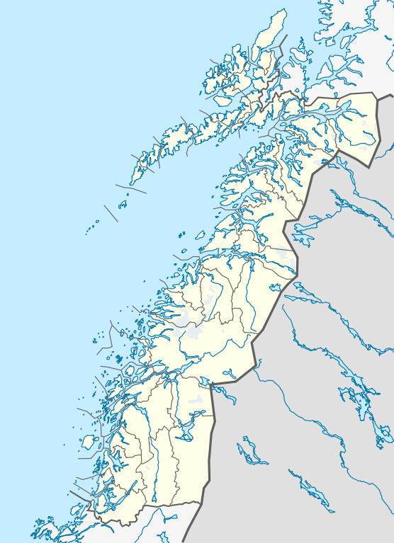
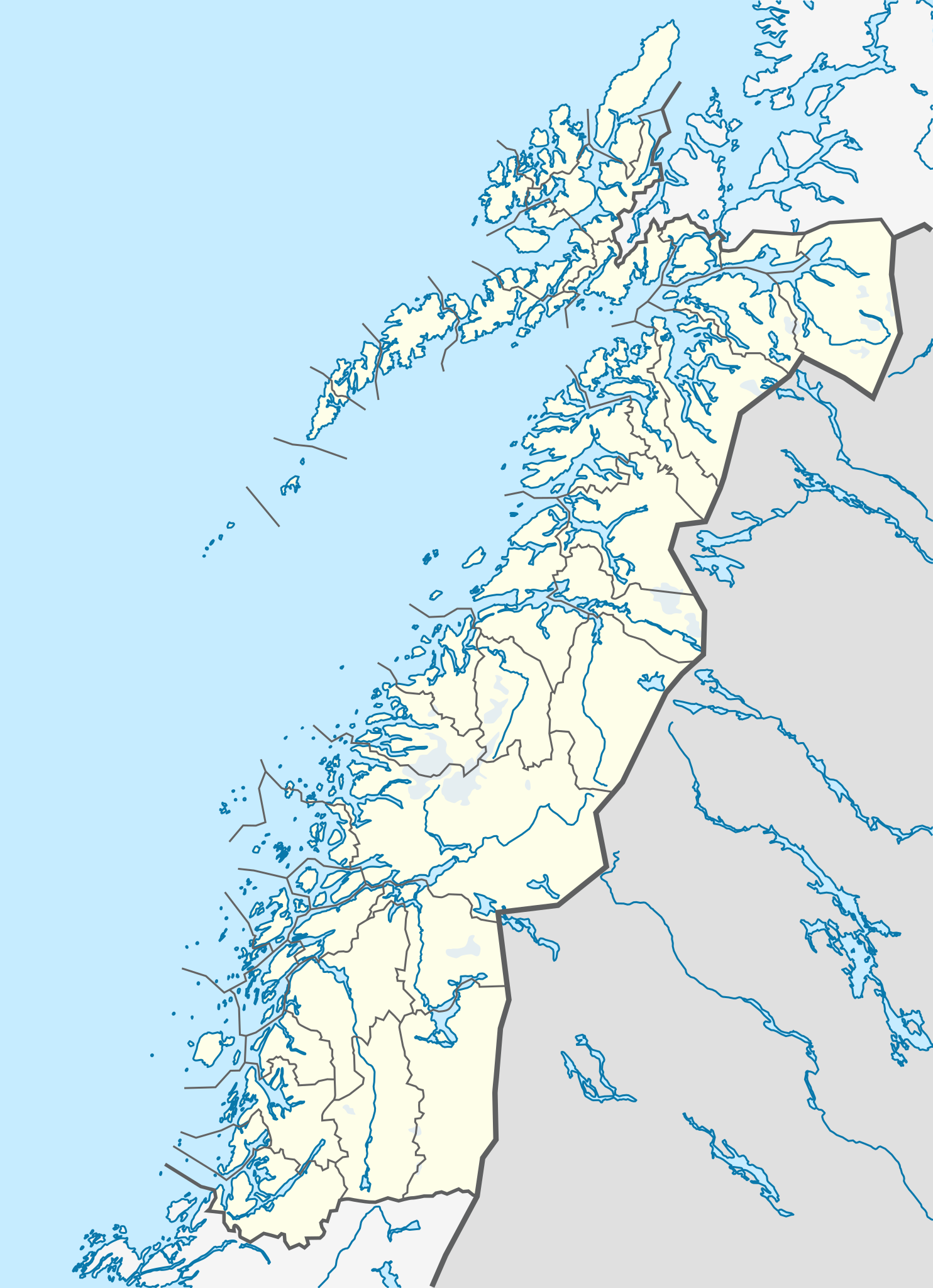
| current | 21:30, 2 Juin 2010 | | 684 × 944 (514 KB) | NordNordWest | =={{int:filedesc}}== {{Information |Description= {{de|Positionskarte von Nordland, Norwegen}} Quadratische Plattkarte, N-S-Streckung 255 %. Geographische Begrenzung der Karte: * N: 69.4° N * S: 64.8° N * W: 10 |
Eimage airtins
The'r nae pages airts tae this eimage.
Global file uisage
The follaein ither wikis uise this file:
- Uisage on ceb.wikipedia.org
- Uisage on de.wikipedia.org
- Uisage on en.wikipedia.org
- Uisage on frr.wikipedia.org
- Uisage on hy.wikipedia.org
- Uisage on no.wikipedia.org
- Uisage on pl.wikibooks.org
- Uisage on sv.wikipedia.org
- Uisage on uk.wikipedia.org
- Uisage on war.wikipedia.org