
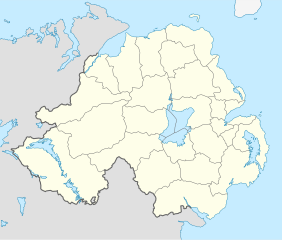
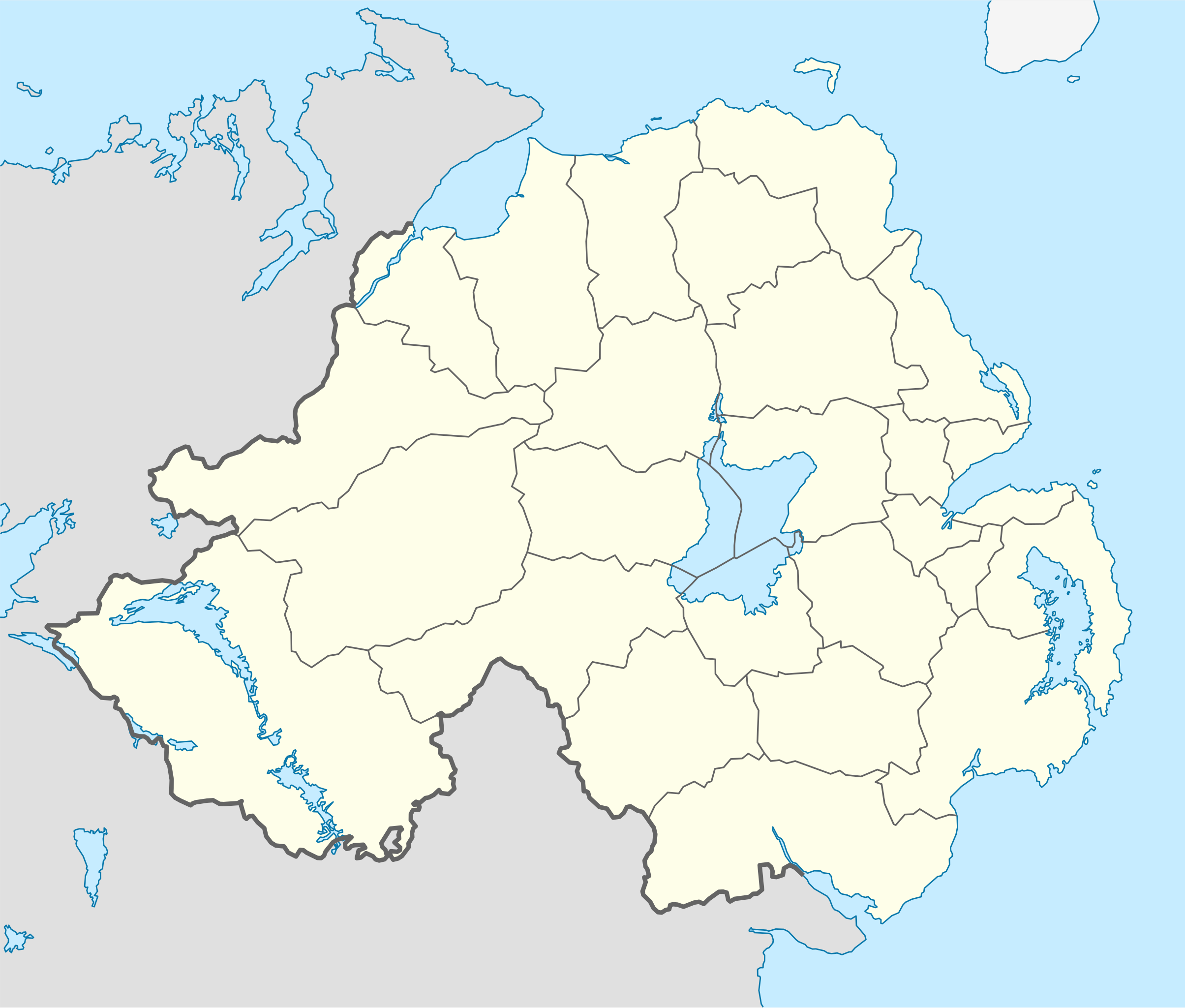
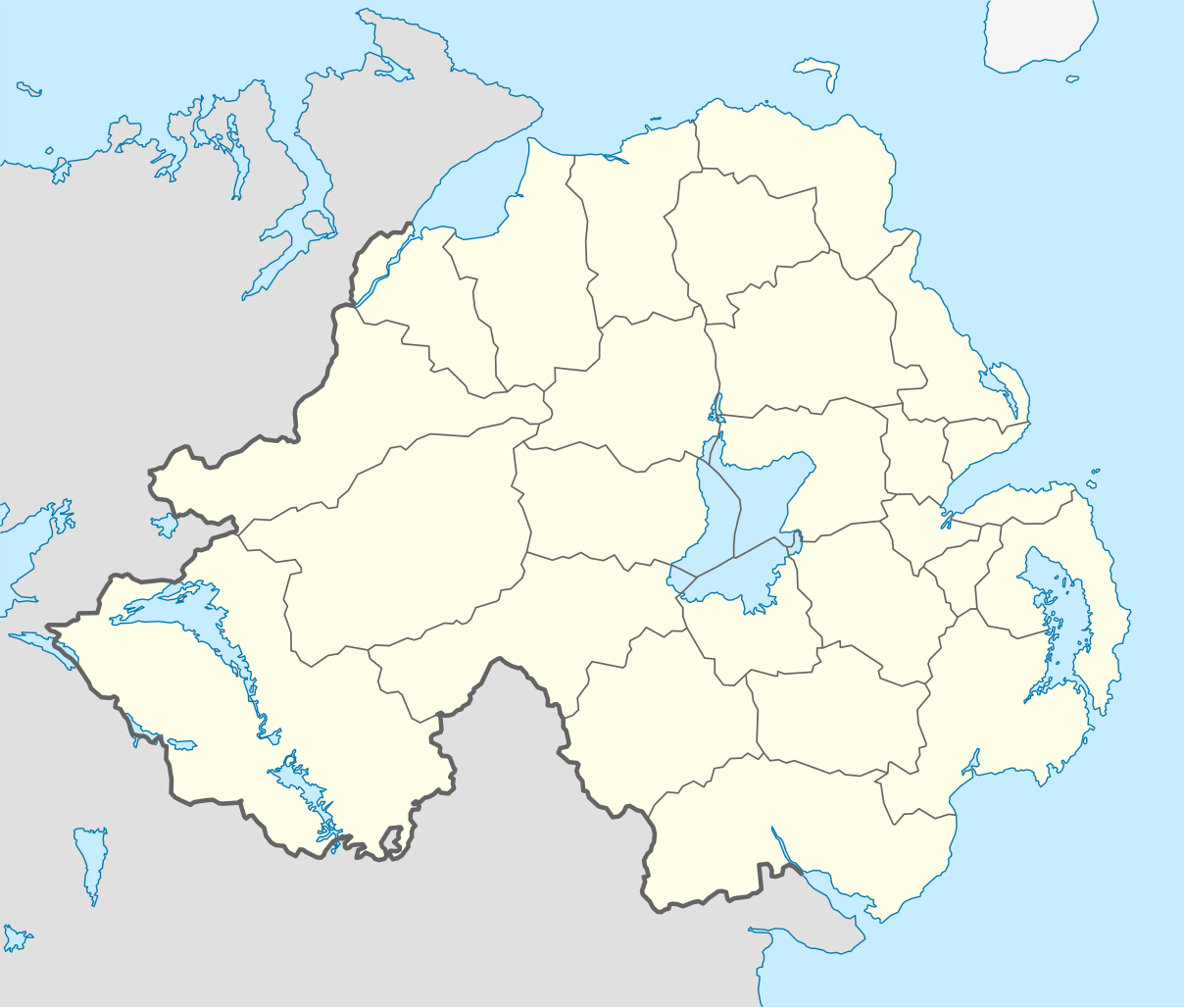
File:Northern Ireland location map.svg

Size of this PNG preview of this SVG file: 705 × 599 pixels. Ither resolutions: 282 × 240 pixels | 565 × 480 pixels | 903 × 768 pixels | 1,205 × 1,024 pixels | 2,409 × 2,048 pixels | 1,208 × 1,027 pixels.
Oreeginal file (SVG file, nominallie 1,208 × 1,027 pixels, file size: 162 KB)
Ootline
| Descreeption |
Deutsch: Positionskarte von Nordirland
Quadratische Plattkarte, N-S-Streckung 170 %. Geographische Begrenzung der Karte:
English: Location map of Northern Ireland
Equirectangular projection, N/S stretching 170 %. Geographic limits of the map:
|
| Date | |
| Soorce | Ain wirk, using United States National Imagery and Mapping Agency data |
| Author | NordNordWest |
| Other versions |
Derivative works of this file: |

|
This map has been made or improved in the German Kartenwerkstatt (Map Lab). You can propose maps to improve as well.
|
Licensin
I, the copyright holder of this work, hereby publish it under the following license:
This file is licensed unner the Creative Commons Attribution-Share Alike 3.0 Unported license.
- Ye are free:
- tae share – tae copy, distribute an transmit the wirk
- tae remix – tae adapt the wirk
- Unner the follaein condeetions:
- attribution – Ye must attribute the wirk in the manner specified bi the author or licensor (but nae in ony way that suggests that thay endorse ye or yer uise o the wirk).
- share alik – If ye alter, transform, or big upon this wirk, ye mey distribute the resultin wirk anly unner the same or seemilar license tae this ane.
File history
Clap oan ae date/time fer tae see the file aes it kithed at that time.
| Date/Time | Thummnail | Dimensions | Uiser | Comment | |
|---|---|---|---|---|---|
| current | 18:02, 22 September 2009 | | 1,208 × 1,027 (162 KB) | NordNordWest | |
| 20:14, 4 Julie 2009 |  | 1,208 × 1,027 (164 KB) | NordNordWest | ||
| 20:10, 4 Julie 2009 |  | 1,208 × 1,027 (163 KB) | NordNordWest | {{Information |Description= {{de|Positionskarte von Nordirland}} Quadratische Plattkarte, N-S-Streckung 170 %. Geographische Begrenzung der Karte: * N: 55.4° N * S: 53.9° N * W: 8.3° W * O: 5.3° W {{en|Location map of [[:en:Northern |
Eimage airtins
The follaein pages airts tae this image:
- Apen Scrow Oaffis o Norlin Airlann
- Arlene Foster
- Auld Erse leid
- Battle o the Boyne
- Belfast Loch
- Bilfawst
- Border Campaign
- Cara Dillon
- Coontie Antrim
- Coontie Armagh
- Coontie Doun
- Coontie Fermanay
- Coontie Londonderry
- Coontie Tyrone
- Cruithne
- Deep River Rock
- Democratic Unionist Party
- Dromore, Coonty Doun
- Dundonal Hoose
- Erse leid
- Ireland
- James Fenton
- Kinrick o Ireland
- Limavady
- Loch Neagh
- Londonderry
- Martin McGuinness
- Männystrie o Fairms an Kintra Fordèrin
- Männystrie o Fowkgates, Airts an Aisedom
- Männystrie o Poustie, Resydènter Heisin an Fowk Siccar
- Norlin Airlan Assemlie
- Norlin Airlan Executive
- Omey, Coonty Tyrone
- Orange Day
- Orange Order
- Portadoun
- Renewable Heat Incentive scandal
- Ryal Ulster Constabular
- Save Ulster from Sodomy
- Sinn Féin
- Strabane
- Ulstèr-Scotch leid
- Unitit Ireland
- Widkern
- Wikipedia:Redd Up
- Template:Stub/NorthrenIreland
Global file uisage
The follaein ither wikis uise this file:
- Uisage on af.wikipedia.org
- Uisage on ar.wikipedia.org
- Uisage on az.wikipedia.org
- Uisage on ba.wikipedia.org
- Uisage on bg.wikipedia.org
- Uisage on bn.wikipedia.org
- Uisage on bs.wikipedia.org
- Uisage on ceb.wikipedia.org
- Uisage on cs.wikipedia.org
- Uisage on cv.wikipedia.org
- Uisage on da.wikipedia.org
- Uisage on de.wikipedia.org
- Uisage on de.wikivoyage.org
- Uisage on dsb.wikipedia.org
- Uisage on en.wikipedia.org
- Uisage on es.wikipedia.org
- Uisage on et.wikipedia.org
- Uisage on eu.wikipedia.org
- Uisage on fa.wikipedia.org
View mair global usage o this file.