
File:Norfolk Island location map.svg

Size of this PNG preview of this SVG file: 609 × 599 pixels. Ither resolutions: 244 × 240 pixels | 488 × 480 pixels | 780 × 768 pixels | 1,040 × 1,024 pixels | 2,081 × 2,048 pixels | 1,201 × 1,182 pixels.
Oreeginal file (SVG file, nominallie 1,201 × 1,182 pixels, file size: 88 KB)
Ootline
| Descreeption |
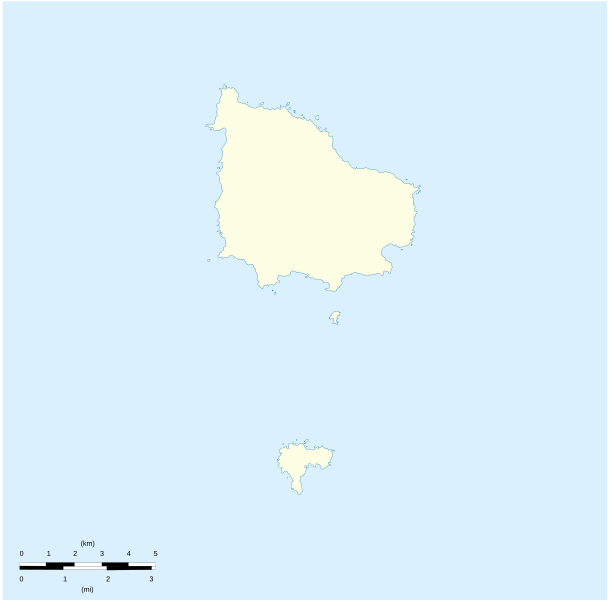
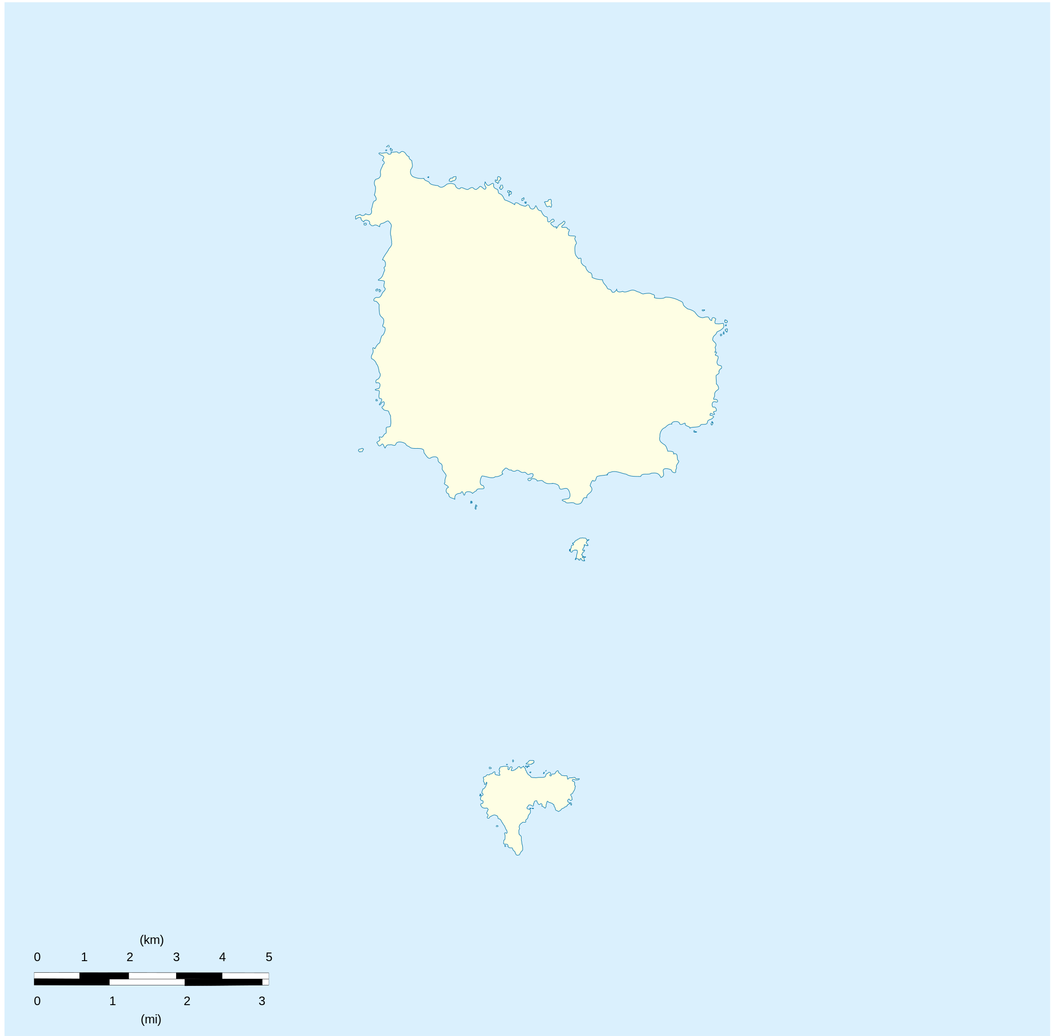
English: Location map of Norfolk_Island
Equirectangular projection. Geographic limits of the map:
Français : Carte de localisation des Île Norfolk
projection equirectangulaire. Les limites géographiques sont
|
| Date | |
| Soorce |
Ain wirk Détail de la carte Norfolk Island [1] Détail de la carte Nepean Island [2] Détail de la carte Philip Island [3] |
| Author | Xfigpower |
Licensin
I, the copyright holder of this work, hereby publish it under the following licenses:

|
Permission is grantit tae copy, distribute an/or modify this document unner the terms o the GNU Free Documentation License, Version 1.2 or ony later version published bi the Free Software Foundation; wi no Invariant Sections, no Front-Cover Texts, an no Back-Cover Texts. A copy o the license is includit in the section enteetled GNU Free Documentation License. |
This file is licensed under the Creative Commons Attribution 3.0 Unported license.
- Ye are free:
- tae share – tae copy, distribute an transmit the wirk
- tae remix – tae adapt the wirk
- Unner the follaein condeetions:
- attribution – Ye must attribute the wirk in the manner specified bi the author or licensor (but nae in ony way that suggests that thay endorse ye or yer uise o the wirk).
Ye mey select the license o yer choice.
File history
Clap oan ae date/time fer tae see the file aes it kithed at that time.
| Date/Time | Thummnail | Dimensions | Uiser | Comment | |
|---|---|---|---|---|---|
| current | 20:41, 10 August 2010 | | 1,201 × 1,182 (88 KB) | Xfigpower | {{Information |Description={{en|1=Location map of Norfolk_Island|}} Equirectangular projection. Geographic limits of the map: * N: 28°58' S * S: 29°10' S * W: 167°52' E * E: 168°02 E}} {{fr|1=Location map of [[:en:Norf |
Eimage airtins
The follaein pages airts tae this image:
Global file uisage
The follaein ither wikis uise this file:
- Uisage on af.wikipedia.org
- Uisage on ar.wikipedia.org
- Uisage on ast.wikipedia.org
- Uisage on ba.wikipedia.org
- Uisage on be-tarask.wikipedia.org
- Uisage on be.wikipedia.org
- Uisage on bg.wikipedia.org
- Uisage on ceb.wikipedia.org
- Plantilya:Location map Australia Norfolk Island
- Rocky Point
- White Rock
- Bird Rock
- South Rock
- Ross Point
- Flat Rock
- Stockyard Creek
- Mount Pitt
- Cascade Bay
- Mount Bates
- Anson Bay
- Kingston
- Hunter Point
- Cascade Creek
- Ball Bay
- Nepean Island
- Collins Head
- Creswell Bay
- Emily Bay
- Jacobs Rock
- Sydney Bay
- Town Creek
- Watermill Creek
- Point Vincent
- Rocky Point Creek
- Norfolk Island (pagklaro)
- Point Howe
- Broken Bridge Creek
- Bradley Rocks
- Anson Point
- Norfolk Ridge
- Point Vincent (punta)
- Sydney Bay (luuk sa Norfolk Island, lat -29,07, long 167,95)
- Steels Point
- Point Ross
- Rocky Point (punta sa Pulo sa Norfolk)
View mair global usage o this file.