
File:Nepal location map.svg

Size of this PNG preview of this SVG file: 800 × 476 pixels. Ither resolutions: 320 × 190 pixels | 640 × 381 pixels | 1,024 × 609 pixels | 1,280 × 762 pixels | 2,560 × 1,523 pixels | 1,200 × 714 pixels.
Oreeginal file (SVG file, nominallie 1,200 × 714 pixels, file size: 296 KB)
Ootline
| Descreeption |
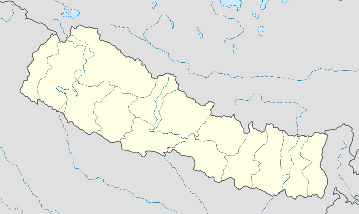
English: Location map of Nepal including the 14 administrative zones (outdated since 2015).
Equirectangular projection. Strechted by 113.0%. Geographic limits of the map: * N: 31.0° N * S: 26.0° N * W: 79.5° E * E: 89.0° EMade with Natural Earth. Free vector and raster map data @ naturalearthdata.com. |
| Date | |
| Soorce | Ain wirk |
| Author | Uwe Dedering |
| Other versions |
|


Licensin
I, the copyright holder of this work, hereby publish it under the following licenses:
This file is licensed unner the Creative Commons Attribution-Share Alike 3.0 Unported license.
- Ye are free:
- tae share – tae copy, distribute an transmit the wirk
- tae remix – tae adapt the wirk
- Unner the follaein condeetions:
- attribution – Ye must attribute the wirk in the manner specified bi the author or licensor (but nae in ony way that suggests that thay endorse ye or yer uise o the wirk).
- share alik – If ye alter, transform, or big upon this wirk, ye mey distribute the resultin wirk anly unner the same or seemilar license tae this ane.

|
Permission is grantit tae copy, distribute an/or modify this document unner the terms o the GNU Free Documentation License, Version 1.2 or ony later version published bi the Free Software Foundation; wi no Invariant Sections, no Front-Cover Texts, an no Back-Cover Texts. A copy o the license is includit in the section enteetled GNU Free Documentation License. |
Ye mey select the license o yer choice.
File history
Clap oan ae date/time fer tae see the file aes it kithed at that time.
| Date/Time | Thummnail | Dimensions | Uiser | Comment | |
|---|---|---|---|---|---|
| current | 17:46, 18 Februar 2010 | | 1,200 × 714 (296 KB) | Uwe Dedering | no disputed countries |
| 13:05, 18 Februar 2010 |  | 1,200 × 714 (297 KB) | Uwe Dedering | {{Information |Description={{en|1=Location map of Nepal. Equirectangular projection. Strechted by 113.0%. Geographic limits of the map: * N: 31.0° N * S: 26.0° N * W: 79.5° E * E: 89.0° E Made with Natural Earth. Free vector and raster map data |
Eimage airtins
The'r nae pages airts tae this eimage.
Global file uisage
The follaein ither wikis uise this file:
- Uisage on ar.wikipedia.org
- Uisage on arz.wikipedia.org
- Uisage on ast.wikipedia.org
- Everest
- Himalaya
- Makalu
- Kala Patthar
- Ama Dablam
- Cho Oyu
- Gokyo
- Namche Bazaar
- Nuptse
- Glaciar de Khumbu
- Lukla
- Katmandú
- Módulu:Mapa de llocalización/datos/Nepal
- Lhotse
- Dhaulagiri
- Manaslu
- Annapurna
- Módulu:Mapa de llocalización/datos/Nepal/usu
- Aeropuertu Tenzing-Hillary
- Aeropuertu de Bajhang
- Aeropuertu de baxura
- Aeropuertu de Bhadrapur
- Aeropuertu de Bharatpur
- Aeropuertu de Bhojpur
- Aeropuertu de Biratnagar
- Uisage on azb.wikipedia.org
- Uisage on ba.wikipedia.org
- Uisage on be-tarask.wikipedia.org
- Uisage on bn.wikipedia.org
- Uisage on bpy.wikipedia.org
- Uisage on ceb.wikipedia.org
- Uisage on ce.wikipedia.org
- Uisage on ckb.wikipedia.org
- Uisage on de.wikipedia.org
- Uisage on dty.wikipedia.org
- Uisage on el.wikipedia.org
View mair global usage o this file.