
File:Mykolaiv province location map.svg

Size of this PNG preview of this SVG file: 534 × 463 pixels. Ither resolutions: 277 × 240 pixels | 554 × 480 pixels | 886 × 768 pixels | 1,181 × 1,024 pixels | 2,362 × 2,048 pixels.
Oreeginal file (SVG file, nominallie 534 × 463 pixels, file size: 106 KB)
Ootline
| Descreeption |
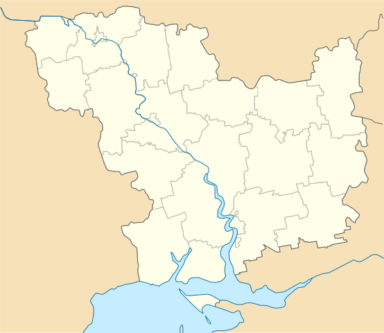
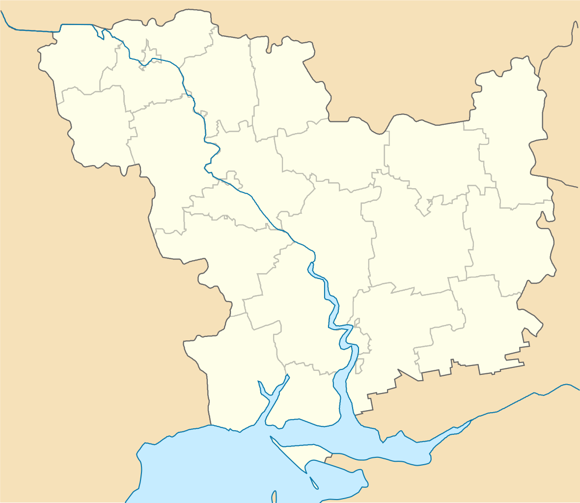
English: Location map of Mykolaiv province, Ukraine
Русский: Позиционная карта Николаевской области, Украина
Українська: Карта Миколаївської області, Україна |
| Date | |
| Soorce | Ain wirk |
| Author | Urutseg |
| SVG genesis | This locator map was created with Inkscape. |
Licensin
| I, the copyright holder of this work, release this work into the public domain. This applies worldwide. In some countries this may not be legally possible; if so: I grant anyone the right to use this work for any purpose, without any conditions, unless such conditions are required by law. |
File history
Clap oan ae date/time fer tae see the file aes it kithed at that time.
| Date/Time | Thummnail | Dimensions | Uiser | Comment | |
|---|---|---|---|---|---|
| current | 19:27, 25 August 2015 | | 534 × 463 (106 KB) | NordNordWest | corr |
| 09:22, 29 Juin 2014 |  | 534 × 420 (156 KB) | קרלוס הגדול | lighter borders between provinces | |
| 17:05, 4 December 2010 |  | 534 × 420 (155 KB) | Urutseg | == Summary == {{Information |Description={{en|1=Location map of Mykolaiv province, Ukraine}} {{ru|1=Позиционная карта Николаевской области, Украина}} |Source={{own}} |Author=Urutseg |Date=2010-12- |
Eimage airtins
The follaein pages airts tae this image:
Global file uisage
The follaein ither wikis uise this file:
- Uisage on ar.wikipedia.org
- Uisage on bg.wikipedia.org
- Uisage on ceb.wikipedia.org
- Uisage on de.wikipedia.org
- Uisage on dsb.wikipedia.org
- Uisage on es.wikipedia.org
- Uisage on fa.wikipedia.org
- Uisage on he.wikipedia.org
- Uisage on hy.wikipedia.org
- Կաղապար:Տեղորոշման քարտեզ Ուկրաինա Նիկոլաևի մարզ
- Ագրոնոմիա (գյուղ, Նիկոլաևի մարզ)
- Արբուզինկա
- Բլագոդատնոե (գյուղ, Արբուզինկայի շրջան)
- Բուգսկոե (գյուղ, Արբուզինկայի շրջան)
- Բուլացելովո
- Զելյոնայա Պոլյանա (գյուղ, Արբուզինկայի շրջան)
- Իվանովկա (գյուղ, Արբուզինկայի շրջան)
- Լյուբոիվանովկա
- Կավունի
- Կոլոս Դոբրա
- Կոնստանտինովկա (քաղաքատիպ ավան, Արբուզինսկի շրջան)
- Կոնստանտինովկա (ավան, Արբուզինկայի շրջան)
- Մարյանովկա (գյուղ, Արբուզինկայի շրջան)
- Նովի Ստավոկ
- Նովոգրիգորովկա (գյուղ, Արբուզինկայի շրջան)
- Նովոկրասնոե (գյուղ, Արբուզինկայի շրջան)
- Նովոմիխայլովկա (գյուղ, Արբուզինկայի շրջան)
- Նովոսյոլովկա (գյուղ, Արբուզինկայի շրջան)
- Շևչենկո (գյուղ, Արբուզինկայի շրջան)
- Շկուրատովո
- Պանկրատովո (գյուղ, Արբուզինկայի շրջան)
- Պոլյանկա (գյուղ, Արբուզինկայի շրջան)
- Ռյաբոկոնևո (գյուղ, Արբուզինկայի շրջան)
- Սադովոե (գյուղ, Արբուզինկայի շրջան)
View mair global usage o this file.