
File:Midlothian UK location map.svg

Size of this PNG preview of this SVG file: 651 × 600 pixels. Ither resolutions: 261 × 240 pixels | 521 × 480 pixels | 834 × 768 pixels | 1,111 × 1,024 pixels | 2,223 × 2,048 pixels | 1,425 × 1,313 pixels.
Oreeginal file (SVG file, nominallie 1,425 × 1,313 pixels, file size: 796 KB)
| Descreeption |
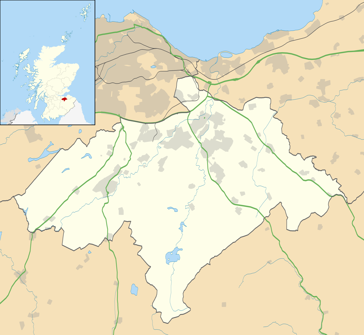
Blank map of Midlothian, UK with the following information shown:
Equirectangular map projection on WGS 84 datum, with N/S stretched 175% Geographic limits:
|
| Date | |
| Soorce |
|
| Author | Nilfanion, created using Ordnance Survey data |
| Permission (Reuisin this file) |
This file is licensed unner the Creative Commons Attribution-Share Alike 3.0 Unported license. Attribution: Contains Ordnance Survey data © Crown copyright and database right
|
| Other versions | File:Midlothian UK blank map.svg - Blank map |
File history
Clap oan ae date/time fer tae see the file aes it kithed at that time.
| Date/Time | Thummnail | Dimensions | Uiser | Comment | |
|---|---|---|---|---|---|
| current | 20:17, 26 September 2010 | | 1,425 × 1,313 (796 KB) | Nilfanion | {{Information |Description=Blank map of Midlothian, UK with the following information shown: *Administrative borders *Coastline, lakes and rivers *Roads and railways *Urban areas Equirectangular map projection on WGS 84 datum, with N/S s |
Eimage airtins
The follaein pages airts tae this image:
Global file uisage
The follaein ither wikis uise this file:
- Uisage on ar.wikipedia.org
- Uisage on bg.wikipedia.org
- Uisage on ceb.wikipedia.org
- Uisage on de.wikipedia.org
- Uisage on en.wikipedia.org
- Midlothian
- List of monastic houses in Scotland
- Dalkeith
- Rosslyn Chapel
- Bonnyrigg
- Penicuik
- Gorebridge
- Loanhead
- Roslin, Midlothian
- Hillend, Edinburgh
- Lasswade
- Mayfield, Midlothian
- Newtongrange
- Nine Mile Burn
- Polton
- Crichton Castle
- Rosewell, Midlothian
- Newbattle
- Danderhall
- Easthouses
- North Middleton, Midlothian
- Bilston, Midlothian
- Crichton, Midlothian
- Pathhead, Midlothian
- Auchendinny
- Borthwick
- Temple, Midlothian
- Fala, Midlothian
- Shawfair railway station
- Eskbank railway station
- Newtongrange railway station
- Gorebridge railway station
- Birkenside, Midlothian
- Arniston, Midlothian
- Shawfair
- Easter Howgate
- Dewartown
- Edgehead
- Carrington, Midlothian
- Silverburn, Midlothian
- Preston Hall, Midlothian
- Module:Location map/data/Scotland Midlothian/doc
- Midlothian Community Hospital
- Oxenfoord Castle
- Glencorse Barracks
- Hopefield, Bonnyrigg
View mair global usage o this file.