
File:Mesoamerica topographic map-blank.svg

Size of this PNG preview of this SVG file: 800 × 533 pixels. Ither resolutions: 320 × 213 pixels | 640 × 427 pixels | 1,024 × 683 pixels | 1,280 × 853 pixels | 2,560 × 1,707 pixels | 4,200 × 2,800 pixels.
Oreeginal file (SVG file, nominallie 4,200 × 2,800 pixels, file size: 1.55 MB)
Ootline
| Descreeption |
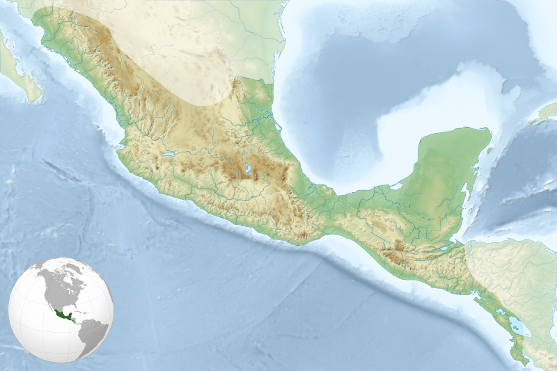
English: Map of Mesoamerican civilizations cultural area. Français : Carte de l'aire culturelle des civilisations de la Mésoamérique. |
| Date | |
| Soorce |
Ain wirk. Sources of data:
|
| Author | Sémhur |
| Other versions | |
| Attribution (required by the license) | © Sémhur / Wikimedia Commons / |
| SVG | W3C-validity not checked. |
| Graphic Lab |
.svg)
| Object location | | View this and other nearby images on: OpenStreetMap |
|---|
Licensin
I, the copyright holder of this work, hereby publish it under the following licenses:
| Copyleft: This wairk o airt is free; ye can redistreebute it n/or modifie it accordin til the terms o the Free Art License. Ye'll fynd ae specimen o this license oan the Copyleft Attitude steid aes weel aes oan ither steids. |
This file is licensed under the Creative Commons Attribution-Share Alike 4.0 International, 3.0 Unported, 2.5 Generic, 2.0 Generic and 1.0 Generic license.
- Ye are free:
- tae share – tae copy, distribute an transmit the wirk
- tae remix – tae adapt the wirk
- Unner the follaein condeetions:
- attribution – Ye must attribute the wirk in the manner specified bi the author or licensor (but nae in ony way that suggests that thay endorse ye or yer uise o the wirk).
- share alik – If ye alter, transform, or big upon this wirk, ye mey distribute the resultin wirk anly unner the same or seemilar license tae this ane.
Ye mey select the license o yer choice.
File history
Clap oan ae date/time fer tae see the file aes it kithed at that time.
| Date/Time | Thummnail | Dimensions | Uiser | Comment | |
|---|---|---|---|---|---|
| current | 19:23, 19 September 2011 | | 4,200 × 2,800 (1.55 MB) | Sémhur | Other globe location |
| 18:13, 19 September 2011 |  | 4,200 × 2,800 (1.52 MB) | Sémhur | + globe location | |
| 15:48, 17 September 2011 |  | 4,200 × 2,800 (1.35 MB) | Sémhur |
Eimage airtins
The follaein pages airts tae this image:
Global file uisage
The follaein ither wikis uise this file:
- Uisage on ar.wikipedia.org
- Uisage on ba.wikipedia.org
- Uisage on bn.wikipedia.org
- Uisage on ca.wikipedia.org
- Uisage on ceb.wikipedia.org
- Uisage on cs.wikipedia.org
- Uisage on da.wikipedia.org
- Uisage on de.wikipedia.org
- Uisage on el.wikipedia.org
- Uisage on en.wikipedia.org
- Tenochtitlan
- Palenque
- Teotihuacan
- Copán
- Xunantunich
- Mayapan
- Quiriguá
- Uxmal
- Yaxchilan
- Coba
- Lubaantun
- Zaculeu
- El Tajín
- Qʼumarkaj
- Monte Albán
- Xochicalco
- Toniná
- El Mirador
- Naranjo
- Lamanai
- Takalik Abaj
- Cahal Pech
- Calakmul
- Joya de Cerén
- Cuicuilco
- Nakbe
- Cerros
- Dzibilchaltun
- Tazumal
- Pyramid of the Magician
- Guachimontones
- Xtampak
- Chichen Itza
- Muyil
- Cañada de la Virgen
- Module:Location map/data/Mesoamerica/doc
- La Blanca, Peten
- Santa Rita, Corozal
- User:Rsgeek/Dzibanché
View mair global usage o this file.