
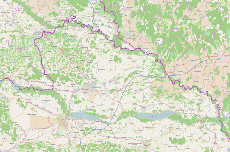
File:Međimurje County OpenStreetMap.svg

Size of this PNG preview of this SVG file: 800 × 529 pixels. Ither resolutions: 320 × 212 pixels | 640 × 423 pixels | 1,024 × 677 pixels | 1,280 × 846 pixels | 2,560 × 1,693 pixels | 3,029 × 2,003 pixels.
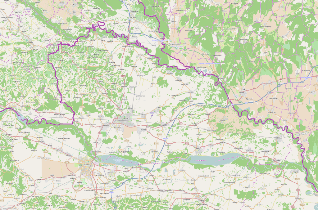
Oreeginal file (SVG file, nominallie 3,029 × 2,003 pixels, file size: 21.69 MB)
| Description |
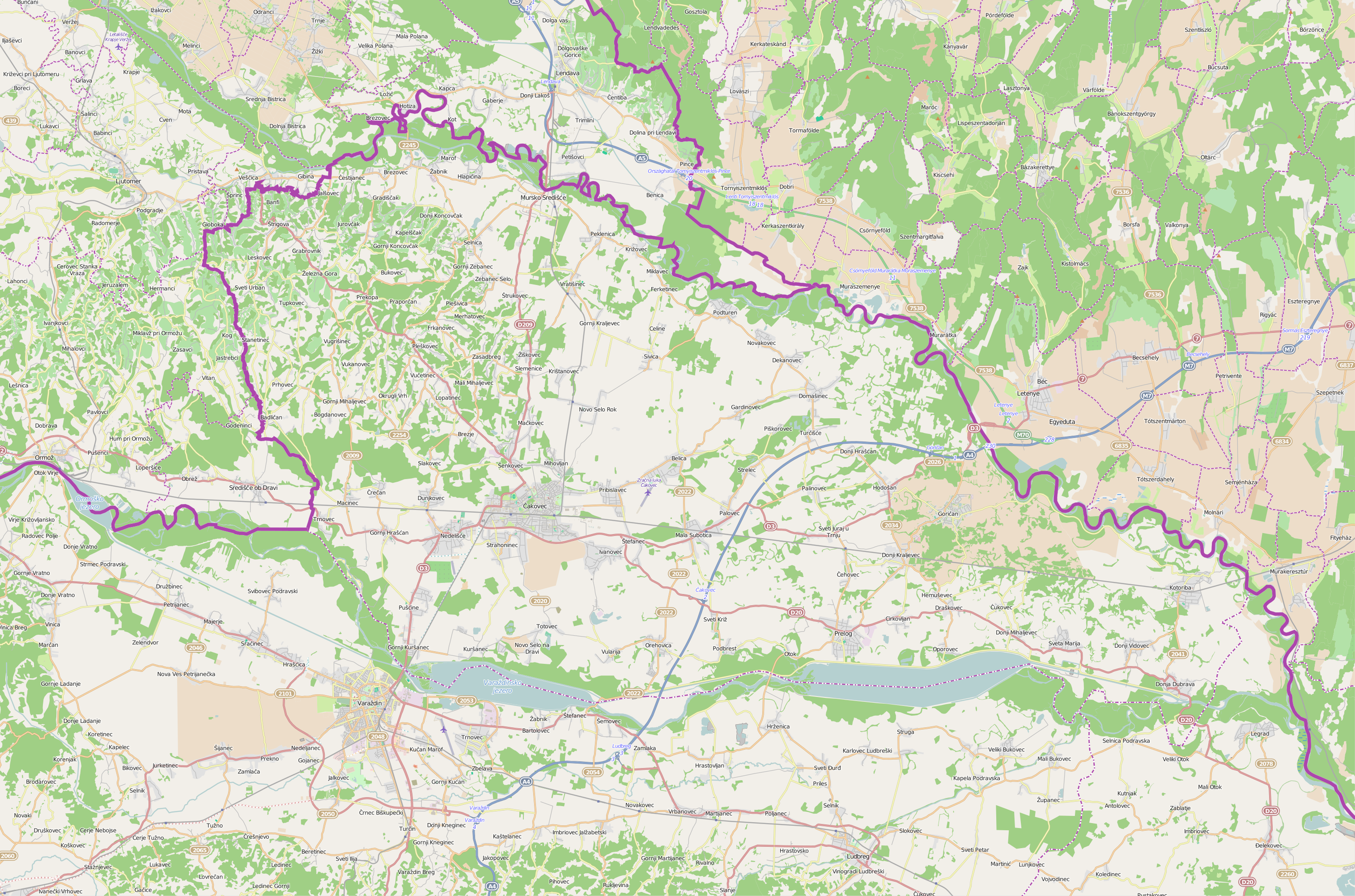
This map of Međimurska županija was created from OpenStreetMap project data, collected by the community. This map may be incomplete, and may contain errors. Don't rely solely on it for navigation. |
| Date | (see file history) |
| Soorce | openstreetmap.org |
| Creator |
OpenStreetMap contributors |
| Permission (Reuisin this file) |
OpenStreetMap data and maps are licensed under the Creative Commons Attribution-ShareAlike 2.0 license (CC-BY-SA 2.0). This file is licensed under the Creative Commons Attribution-Share Alike 2.0 Generic license.
|
| Georeferencing | If inappropriate please set warp_status = skip to hide. |
File history
Clap oan ae date/time fer tae see the file aes it kithed at that time.
| Date/Time | Thummnail | Dimensions | Uiser | Comment | |
|---|---|---|---|---|---|
| current | 08:18, 5 Februar 2015 | | 3,029 × 2,003 (21.69 MB) | Vedran V | A new version of file |
| 22:11, 6 Mairch 2010 |  | 701 × 454 (1.25 MB) | Ex13 | new | |
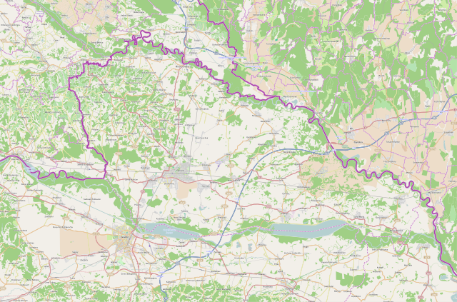
| 22:06, 6 Mairch 2010 |  | 1,580 × 1,023 (1.44 MB) | Ex13 | new | |
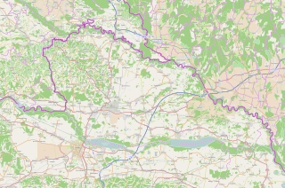
| 22:02, 6 Mairch 2010 |  | 359 × 228 (929 KB) | Ex13 | {{OpenStreetMap|location=Međimurska županija}} Category:Međimurje County Category:Maps of counties of Croatia |
Eimage airtins
The follaein pages airts tae this image:
Global file uisage
The follaein ither wikis uise this file:
- Uisage on bs.wikipedia.org
- Uisage on de.wikipedia.org
- Uisage on en.wikipedia.org
- Uisage on fa.wikipedia.org
- Uisage on hr.wikipedia.org
- Uisage on mk.wikipedia.org
- Uisage on sh.wikipedia.org
- Uisage on sr.wikipedia.org
- Белица (општина)
- Прибиславец
- Света Марија (општина)
- Свети Јурај на Брегу
- Декановец
- Домашинец
- Горичан
- Вратишинец
- Доња Дубрава (Међимурје)
- Горњи Михаљевец
- Доњи Видовец
- Доњи Краљевец (општина)
- Коториба
- Мала Суботица
- Неделишће
- Ореховица (општина)
- Подтурен
- Шаблон:Location map Međimurska županija
- Селница (општина)
- Страхонинец
- Свети Мартин на Мури
- Шенковец (општина)
- Штригова
- Гардиновец
- Ходошан
- Ивановец
- Куршанец
- Мачковец (Чаковец)
- Миховљан (Чаковец)
- Новаковец (Подтурен)
- Ново Село Рок
- Паловец
- Пекленица
- Пушћине
- Савска Вес
- Цирковљан
- Горњи Храшћан
View mair global usage o this file.