
File:Map of USA OH.svg

Size of this PNG preview of this SVG file: 286 × 186 pixels. Ither resolutions: 320 × 208 pixels | 640 × 416 pixels | 1,024 × 666 pixels | 1,280 × 832 pixels | 2,560 × 1,665 pixels.
Oreeginal file (SVG file, nominallie 286 × 186 pixels, file size: 167 KB)
Clickable version
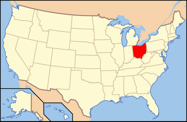
| Descreeption | Map of USA with Ohio highlighted | ||||||||
| Date | see file history below. | ||||||||
| Soorce | own work by uploader, based on Image:Map of USA without state names.svg | ||||||||
| Author |
This version: uploader Base versions this one is derived from: originally created by en:User:Wapcaplet |
||||||||
| Permission (Reuisin this file) |
This file is licensed under the Creative Commons Attribution 2.0 Generic license.
|
||||||||
| Other versions | image:Map of USA with state names.svg |

| Annotations | This image is annotated: View the annotations at Commons |
File history
Clap oan ae date/time fer tae see the file aes it kithed at that time.
| Date/Time | Thummnail | Dimensions | Uiser | Comment | |
|---|---|---|---|---|---|
| current | 09:44, 9 Juin 2006 | | 286 × 186 (167 KB) | Huebi~commonswiki | {{Information| |Description=Map of USA with Ohio highlighted |other_versions=image:Map of USA with state names.svg }} Category:Maps of the United States Category:Maps of Ohio Category:SVG maps {{GFDL-en}}{{cc-by-2.0}}{{cc-by-sa-1.0}}{{c |
Eimage airtins
The follaein pages airts tae this image:
Global file uisage
The follaein ither wikis uise this file:
- Uisage on af.wikipedia.org
- Uisage on ang.wikipedia.org
- Uisage on an.wikipedia.org
- Uisage on arc.wikipedia.org
- Uisage on ay.wikipedia.org
- Uisage on az.wiktionary.org
- Uisage on ba.wikipedia.org
- Uisage on be-tarask.wikipedia.org
- Uisage on bi.wikipedia.org
- Uisage on bo.wikipedia.org
- Uisage on bpy.wikipedia.org
- Uisage on bs.wikipedia.org
- Uisage on bxr.wikipedia.org
- Uisage on ca.wikipedia.org
- Uisage on ce.wikipedia.org
- Uisage on co.wikipedia.org
- Uisage on cs.wikipedia.org
- Uisage on cv.wikipedia.org
- Uisage on da.wikipedia.org
- Ohio
- Montgomery County (Ohio)
- Adams County (Ohio)
- Ashland County (Ohio)
- Monroe County (Ohio)
- Athens County
- Ashtabula County
- Huron County (Ohio)
- Hamilton County (Ohio)
- Hancock County (Ohio)
- Allen County (Ohio)
- Auglaize County
- Champaign County (Ohio)
- Cuyahoga County
- Perry County (Ohio)
- Vinton County
- Butler County (Ohio)
- Carroll County (Ohio)
- Erie County (Ohio)
View mair global usage o this file.