
File:Map of California highlighting Marin County.svg

Size of this PNG preview of this SVG file: 512 × 587 pixels. Ither resolutions: 209 × 240 pixels | 419 × 480 pixels | 670 × 768 pixels | 893 × 1,024 pixels | 1,786 × 2,048 pixels.
Oreeginal file (SVG file, nominallie 512 × 587 pixels, file size: 244 KB)
Ootline
| Descreeption |
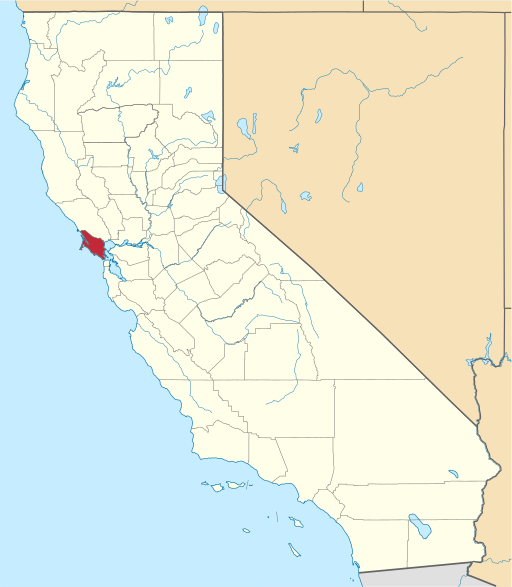
English: This is a locator map showing Marin County in California. For more information, see Commons:United States county locator maps. |
| Date | |
| Soorce |
Ain wirk: English: The maps use data from nationalatlas.gov, specifically countyp020.tar.gz on the Raw Data Download page. The maps also use state outline data from statesp020.tar.gz. The Florida maps use hydrogm020.tar.gz to display Lake Okeechobee. |
| Author | David Benbennick |
Licensin
| I, the copyright holder of this work, release this work into the public domain. This applies worldwide. In some countries this may not be legally possible; if so: I grant anyone the right to use this work for any purpose, without any conditions, unless such conditions are required by law. |
File history
Clap oan ae date/time fer tae see the file aes it kithed at that time.
| Date/Time | Thummnail | Dimensions | Uiser | Comment | |
|---|---|---|---|---|---|
| current | 06:34, 30 Juin 2023 | | 512 × 587 (244 KB) | Gordfather69 | Shapes |
| 10:26, 12 Februar 2006 |  | 9,164 × 10,536 (229 KB) | David Benbennick | {{subst:User:Dbenbenn/clm|county=Marin County|state=California}} |
Eimage airtins
The follaein pages airts tae this image:
Global file uisage
The follaein ither wikis uise this file:
- Uisage on ar.wikipedia.org
- مقاطعة مارين (كاليفورنيا)
- سان رافاييل (كاليفورنيا)
- بيلفيديري (كاليفورنيا)
- كورت ماديرا (كاليفورنيا)
- فيرفاكس (كاليفورنيا)
- لاركسبور (كاليفورنيا)
- مل فالي
- نوفاتو (كاليفورنيا)
- روس (كاليفورنيا)
- سان أنسيلمو
- ساوساليتو (كاليفورنيا)
- تيبورون (كاليفورنيا)
- سانتا فينيتيا (كاليفورنيا)
- ديلون بيتش (كاليفورنيا)
- إنفرنيس (كاليفورنيا)
- موير بيتش (كاليفورنيا)
- سان جيرونيمو (كاليفورنيا)
- بوينت رييس ستيشن (كاليفورنيا)
- قالب:مقاطعة مارين (كاليفورنيا)
- باراديس كاي
- بوليناس (كاليفورنيا)
- Uisage on arz.wikipedia.org
- Uisage on az.wikipedia.org
- Uisage on ban.wikipedia.org
- Uisage on be.wikipedia.org
- Uisage on bpy.wikipedia.org
- Uisage on bs.wikipedia.org
- Uisage on ca.wikipedia.org
- Uisage on ceb.wikipedia.org
- Uisage on ce.wikipedia.org
- Uisage on cs.wikipedia.org
- Uisage on cy.wikipedia.org
- Uisage on de.wikipedia.org
View mair global usage o this file.