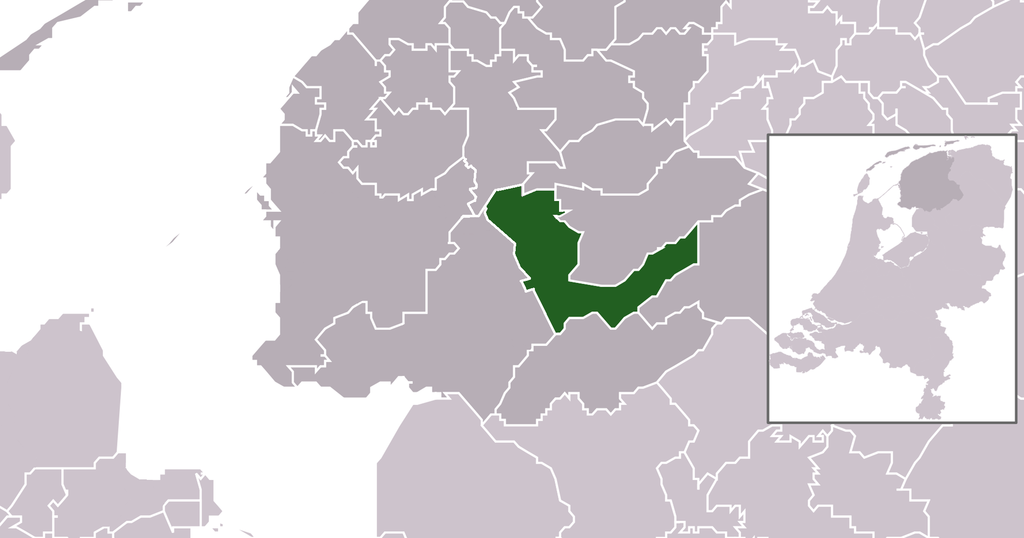
File:Map - NL - Municipality code 0074 (2014).png

Page contents not supported in other languages.
Frae Wikipedia, the free beuk o knawledge

Oreeginal file(2,079 × 1,092 pixels, file size: 250 KB, MIME type: image/png)

This file is fae Wikimedia Commons n micht be uised bi ither waurks. The descreeption oan its file descreeption page thaur is shawn ablo.

Descreeption
  • Location maps for the 441 municipalities in the Netherlands. Boundaries 1/1/2009
  • Automatically generated with script
  • File name contains "Municipality code" (CBS-code) as specified in: [1]
  • Created in svg using coordinate data derived from ESRI data published by Centraal Bureau voor de Statistiek, Voorburg/Heerlen. ([2])
  • Color coding and original design (slightly adpated by me) by user Mtcv (2006/2007) ([3])
  • Changed version with the new muncipalities Súdwest Fryslân, De Friese Meren, Hollandse Kroon and the muncipalities which area has increased: Heerenveen, Medemblik and Leeuwarden. 2014


© The copyright holder of this file, Centraal Bureau voor de Statistiek, allows anyone to use it for any purpose, provided that the copyright holder is properly attributed. Redistribution, derivative work, commercial use, and all other use is permitted.

VRT Wikimedia

This work is free and may be used by anyone for any purpose. If you wish to use this content, you do not need to request permission as long as you follow any licensing requirements mentioned on this page.

The Wikimedia Foundation has received an e-mail confirming that the copyright holder has approved publication under the terms mentioned on this page. This correspondence has been reviewed by a Volunteer Response Team (VRT) member and stored in our permission archive. The correspondence is available to trusted volunteers as ticket #2007041210008226.

If you have questions about the archived correspondence, please use the VRT noticeboard. Ticket link: https://ticket.wikimedia.org/otrs/index.pl?Action=AgentTicketZoom&TicketNumber=2007041210008226
Find other files from the same ticket: SDC query (SPARQL)

This image is (in part or entirely) based on geographical data from Statistics Netherlands (Centraal Bureau voor de Statistiek). Digital geometry files in ESRI format can be downloaded from their website [4].

In particular, boundary data of statistical districts is based on either the Wijk- en buurtkaart 2005, or the Wijk- en buurtkaart 2003 ("CBS/TOPgrenzen"). Data on localities (bevolkingskernen) are from the publication Bevolkingskernen in Nederland 2001.

Conditions of use (in Dutch):

  • Bij visualisering van gegevens met behulp van het digitale bestand Wijk- en buurtkaart 2005 dient te worden vermeld:
Bron: © 2006, Centraal Bureau voor de Statistiek / Topografische Dienst Kadaster
  • Bij visualisering van gegevens met behulp van het digitale bestand CBS/TOPgrenzen dient te worden vermeld:
Grenzen ondergrond: © 2003, Centraal Bureau voor de Statistiek/Topografische Dienst Kadaster
  • Bij visualisering van gegevens met behulp van het digitale bestand "Bevolkingskernen 2001" dient te worden vermeld:
Bron: © 2005, Centraal Bureau voor de Statistiek

Unless otherwise specified, data on waterways and lakes are from the public domain Digital Chart of the World.

Date
Soorce own work , using CBS data
Author Michiel1972 (talk) 21:40, 24 January 2009 (UTC) and changed by Supercarwaar
Permission
(Reuisin this file)
Attribution ShareAlike 3.0
w:en:Creative Commons
attribution share alik
This file is licensed unner the Creative Commons Attribution-Share Alike 3.0 Unported license.
Ye are free:
  • tae share – tae copy, distribute an transmit the wirk
  • tae remix – tae adapt the wirk
Unner the follaein condeetions:
  • attribution – Ye must attribute the wirk in the manner specified bi the author or licensor (but nae in ony way that suggests that thay endorse ye or yer uise o the wirk).
  • share alik – If ye alter, transform, or big upon this wirk, ye mey distribute the resultin wirk anly unner the same or seemilar license tae this ane.

Captions

Add a one-line explanation of what this file represents

Items portrayed in this file

depicts

File history

Clap oan ae date/time fer tae see the file aes it kithed at that time.

Date/TimeThummnailDimensionsUiserComment
current18:57, 1 Januar 2014Thumbnail fer version aes o 18:57, 1 Januar 20142,079 × 1,092 (250 KB)Tristan SurtelUser created page with UploadWizard

The'r nae pages airts tae this eimage.

Global file uisage

The follaein ither wikis uise this file:

Metadata