
File:Mahoning County Ohio Youngstown highlighted.png
Size o this luikower: 800 × 400 pixels. Ither resolutions: 320 × 160 pixels | 640 × 320 pixels.
Oreeginal file (1,200 × 600 pixels, file size: 87 KB, MIME type: image/png)
Ootline
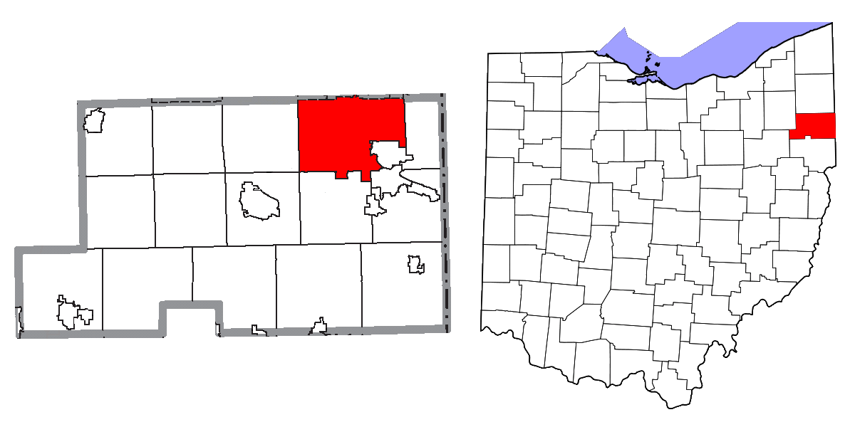
| Descreeption | Map highlighting City of Youngstown, Mahoning and Trumbull Counties, Ohio, United States. |
| Date | |
| Soorce |
I, Yassie, merged these three files into one. |
| Author | Ruhrfisch, Nyttend, Dbenbenn, and Yassie |
| Permission (Reuisin this file) |
Both File:Map of Mahoning County Ohio Highlighting Youngstown City.png and File:Map of Trumbull County Ohio Highlighting Youngstown City.png have been released under CC-BY-SA-3.0 by Nyttend. File:Map of Ohio highlighting Mahoning County.svg has been released into public domain by Dbenbenn. Thus, I hereby release this merged work under CC-BY-SA-3.0 license. |
Licensin
This file is licensed unner the Creative Commons Attribution-Share Alike 3.0 Unported license.
- Ye are free:
- tae share – tae copy, distribute an transmit the wirk
- tae remix – tae adapt the wirk
- Unner the follaein condeetions:
- attribution – Ye must attribute the wirk in the manner specified bi the author or licensor (but nae in ony way that suggests that thay endorse ye or yer uise o the wirk).
- share alik – If ye alter, transform, or big upon this wirk, ye mey distribute the resultin wirk anly unner the same or seemilar license tae this ane.
File history
Clap oan ae date/time fer tae see the file aes it kithed at that time.
| Date/Time | Thummnail | Dimensions | Uiser | Comment | |
|---|---|---|---|---|---|
| current | 20:09, 23 September 2019 | | 1,200 × 600 (87 KB) | Aftrnd | Updated transparency at correct resolution. |
| 19:52, 23 September 2019 |  | 482 × 228 (49 KB) | Aftrnd | Reverted to version as of 19:49, 23 September 2019 (UTC) | |
| 19:51, 23 September 2019 |  | 1,200 × 600 (38 KB) | Aftrnd | Reverted to version as of 12:16, 23 November 2015 (UTC) | |
| 19:49, 23 September 2019 |  | 482 × 228 (49 KB) | Aftrnd | Made background transparent. | |
| 12:16, 23 November 2015 |  | 1,200 × 600 (38 KB) | Yassie | {{Information |Description= Map highlighting City of Middletown, Butler and Warran Counties, Ohio, United States. |Source= I, Yassie, merged these three files into one. * [[:File:Map of Mahoning County Ohio Highlighting Youngstown City.... |
Eimage airtins
The follaein pages airts tae this image:
Global file uisage
The follaein ither wikis uise this file:
- Uisage on azb.wikipedia.org
- Uisage on io.wikipedia.org
- Uisage on ja.wikipedia.org
- Uisage on tr.wikipedia.org