
File:MaharashtraSangli.png
Size o this luikower: 778 × 600 pixels. Ither resolutions: 312 × 240 pixels | 623 × 480 pixels | 997 × 768 pixels | 1,280 × 987 pixels | 2,168 × 1,671 pixels.
Oreeginal file (2,168 × 1,671 pixels, file size: 426 KB, MIME type: image/png)
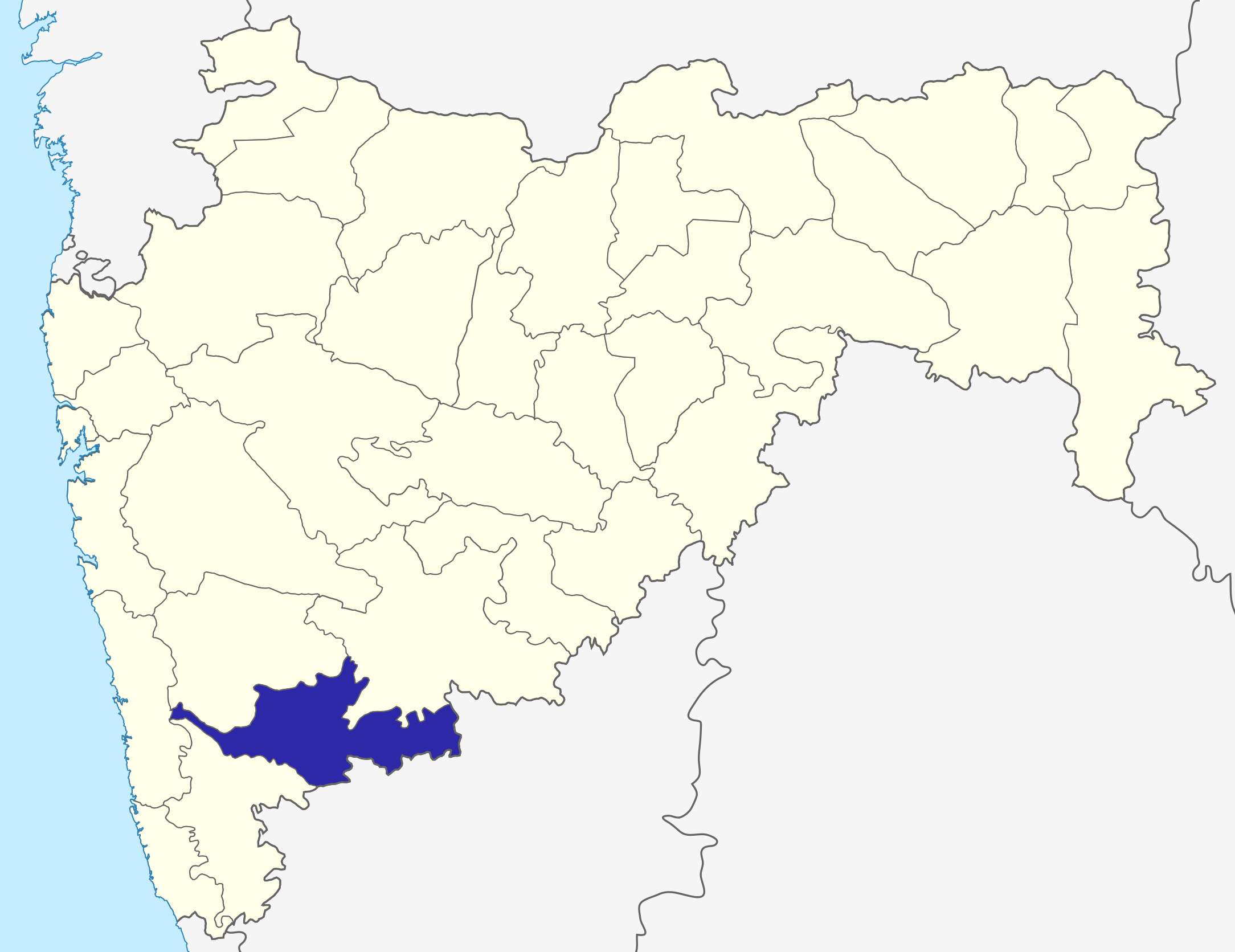
Sangli dist
Source: Drawn by me
| I, the copyright holder of this work, release this work into the public domain. This applies worldwide. In some countries this may not be legally possible; if so: I grant anyone the right to use this work for any purpose, without any conditions, unless such conditions are required by law. |
\
File history
Clap oan ae date/time fer tae see the file aes it kithed at that time.
| Date/Time | Thummnail | Dimensions | Uiser | Comment | |
|---|---|---|---|---|---|
| current | 06:31, 6 October 2015 | | 2,168 × 1,671 (426 KB) | Abhijitsathe | State map updated to reflect new Palghar district |
| 00:09, 22 September 2009 |  | 2,789 × 2,232 (954 KB) | Abhijitsathe | India map inset | |
| 15:41, 10 Apryle 2009 |  | 2,789 × 2,232 (795 KB) | Abhijitsathe | {{Information |Description=Sangli district in Maharashtra |Source=*File:Maharashtra_locator_map.svg |Date=2009-04-10 16:38 (UTC) |Author=*File:Maharashtra_locator_map.svg: '''PlaneMad''' *derivative work: ~~~ |Permission=see below |other_versi | |
| 17:29, 6 August 2005 |  | 200 × 161 (4 KB) | Nichalp | Sangli dist Source: Drawn by me {{PD-self}} Category:Maharashtra district maps\ |
Eimage airtins
The'r nae pages airts tae this eimage.