
File:Madhya Pradesh location map.svg

Size of this PNG preview of this SVG file: 800 × 519 pixels. Ither resolutions: 320 × 208 pixels | 640 × 415 pixels | 1,024 × 665 pixels | 1,280 × 831 pixels | 2,560 × 1,661 pixels | 1,473 × 956 pixels.
Oreeginal file (SVG file, nominallie 1,473 × 956 pixels, file size: 466 KB)
Ootline
| Descreeption |
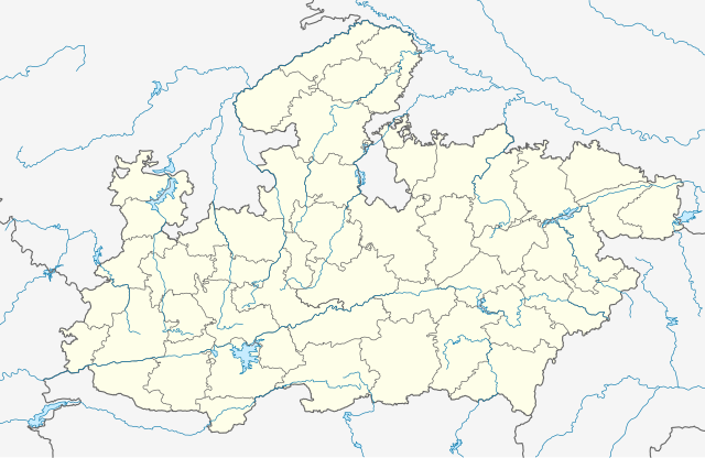
English: Borders from Govt of India (compiled by Planner Vijay Meena for public use). Rivers and lakes from GSHHG. |
| Date | |
| Soorce | Ain wirk |
| Author | C1MM |
Licensin
I, the copyright holder of this work, hereby publish it under the following license:
This file is licensed under the Creative Commons Attribution-Share Alike 4.0 International license.
- Ye are free:
- tae share – tae copy, distribute an transmit the wirk
- tae remix – tae adapt the wirk
- Unner the follaein condeetions:
- attribution – Ye must attribute the wirk in the manner specified bi the author or licensor (but nae in ony way that suggests that thay endorse ye or yer uise o the wirk).
- share alik – If ye alter, transform, or big upon this wirk, ye mey distribute the resultin wirk anly unner the same or seemilar license tae this ane.
File history
Clap oan ae date/time fer tae see the file aes it kithed at that time.
| Date/Time | Thummnail | Dimensions | Uiser | Comment | |
|---|---|---|---|---|---|
| current | 02:59, 16 Mey 2021 | | 1,473 × 956 (466 KB) | C1MM | Corrected rivers and dist boundaries |
| 19:24, 16 Februar 2021 |  | 1,829 × 1,187 (1.32 MB) | C1MM | Fixed Mandla dist | |
| 06:36, 1 Februar 2021 |  | 1,829 × 1,187 (1.35 MB) | C1MM | Corrected some district borders | |
| 07:38, 13 December 2020 |  | 1,829 × 1,187 (1.34 MB) | C1MM | Fixed district boundaries | |
| 18:48, 21 Mey 2020 |  | 1,829 × 1,187 (1.34 MB) | C1MM | Corrected Shahdol/Anuppur district boundaries | |
| 00:49, 16 Mey 2020 |  | 1,829 × 1,187 (1.34 MB) | C1MM | Uploaded own work with UploadWizard |
Eimage airtins
The follaein pages airts tae this image:
Global file uisage
The follaein ither wikis uise this file:
- Uisage on awa.wikipedia.org
- Uisage on bn.wikipedia.org
- ভোপাল
- অশোকনগর
- নরসিংগড়
- খড়গপুর, মধ্যপ্রদেশ
- শাহপুর
- ছত্তরপুর
- গোবিন্দগড়
- পালি
- রতনগড়
- আলিরাজপুর
- ছিন্দওয়াড়া
- হুরু ছিন্দওয়ারা (গোতেগাঁও)
- চিচলি
- চিত্রকূট
- চুরহাত
- আলোট
- দাবোহ
- দাব্রা
- দামোহ
- দামুওয়া
- দাতিয়া
- দিওদারা
- দেওরি
- দেপালপুর
- আমানগঞ্জ
- দেবেন্দ্রনগর
- দেবহারা
- দেওয়াস
- অমরকণ্টক
- ধাম্নোদ
- ধানা
- অমরপাতান
- ধনপুরি
- ধার
- ধরমপুর
- অমরওয়ারা
- আমবড়া
- দিঘবানী
- আম্বা
- দিকেন
- দিন্দোরি
- দোলা
- দোঙ্গার পারসিয়া
- দুমার কাছাড়
- জি.সি.এফ জবলপুর
- গন্দরওয়ারা
- গিরাটগঞ্জ
- গ্রহিকোটা
- গ্রহি-মালহারা
View mair global usage o this file.