
File:Madhya Pradesh districts location map big.svg

Size of this PNG preview of this SVG file: 800 × 563 pixels. Ither resolutions: 320 × 225 pixels | 640 × 450 pixels | 1,024 × 720 pixels | 1,280 × 900 pixels | 2,560 × 1,800 pixels | 1,041 × 732 pixels.
Oreeginal file (SVG file, nominallie 1,041 × 732 pixels, file size: 313 KB)
Ootline
| Descreeption |
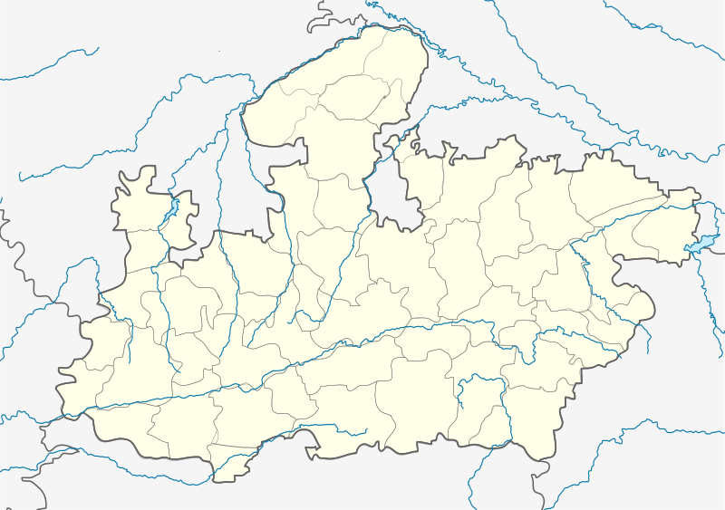
English: Locator map of Madhya Pradesh. Geographical limits of the map: * N: 27.15°N * S: 20.75°N * E: 83.1°E * W: 73.2°E Français : Carte de localisation du Madhya Pradesh, Inde. |
| Date | |
| Soorce | File:India Madhya Pradesh location map.svg |
| Author | Planemad, Nayvik, Yann (talk) |
| Other versions |
|

Licensin
This file is licensed unner the Creative Commons Attribution-Share Alike 3.0 Unported license.
- Ye are free:
- tae share – tae copy, distribute an transmit the wirk
- tae remix – tae adapt the wirk
- Unner the follaein condeetions:
- attribution – Ye must attribute the wirk in the manner specified bi the author or licensor (but nae in ony way that suggests that thay endorse ye or yer uise o the wirk).
- share alik – If ye alter, transform, or big upon this wirk, ye mey distribute the resultin wirk anly unner the same or seemilar license tae this ane.
File history
Clap oan ae date/time fer tae see the file aes it kithed at that time.
| Date/Time | Thummnail | Dimensions | Uiser | Comment | |
|---|---|---|---|---|---|
| current | 16:00, 21 Apryle 2020 | | 1,041 × 732 (313 KB) | C1MM | Added rivers and new district |
| 13:59, 25 Februar 2013 |  | 1,041 × 732 (179 KB) | MaxxL | 9 districts color adjusted | |
| 13:29, 25 Februar 2013 |  | 1,041 × 732 (179 KB) | MaxxL | rectified - colors adjusted | |
| 11:48, 25 Februar 2013 |  | 1,041 × 732 (176 KB) | MaxxL | minor changes | |
| 20:57, 23 Februar 2013 |  | 1,041 × 732 (176 KB) | MaxxL | com:Graphic Lab/Map workshop#Adding new districts in Madhya Pradesh | |
| 14:12, 13 Februar 2012 |  | 1,041 × 732 (148 KB) | Yann | {{Information |Description={{en|Locator map of Madhya Pradesh.}} |Source=File:India Madhya Pradesh location map.svg |Date=2012 |Author= User:Planemad, User:Nayvik, ~~~ |Permission= |other_versions= <gallery> File:India |
Eimage airtins
The follaein pages airts tae this image:
Global file uisage
The follaein ither wikis uise this file:
- Uisage on ar.wikipedia.org
- Uisage on azb.wikipedia.org
- اودانخدی
- ماردانا, مادهیا پرادش
- ناسرولاقانج
- ماندهاتا
- جهیرنیا, مادهیا پرادش
- جئونارا
- سلیمان آباد
- مالپار
- رانقواسا
- سیرالی
- رامپور کالان
- ماخوری
- جاقوتی
- ماهبا (هیندوستان)
- ماقرورا
- رایپورا
- سقون, مادهیا پرادش
- وارلا, مادهیا پرادش
- هارانا, راجقاره
- پیپلیا سیسودیا
- پیپارییا ناق
- هاندیا, مادهیا پرادش
- قیاراسپور
- قوحیصار
- اوتیلا فورت
- پاوارخدا
- قوقارا
- دئولوند
- اوزار, مادهیا پرادش
- قاداسارای
- نیوالی, مادهیا پرادش
- اندوری (هیندوستان)
- چیرولا, داتیا
- چیراخان
- دودارسی
- دوراها, سهور
- ناوقاده
- دونقارقون
- دونقارقون, آقار مالوا
- بوراوان
- بورانی ویلیج
- موتالا, مادهیا پرادش
- بوهانی (هیندوستان)
- بیلهتی (هیندوستان)
- مهیدپور رواد
- بامورا خاس
- باقوانپورا, مادهیا پرادش
- سوپییا
- سویات خورد
View mair global usage o this file.