
File:Location map Sweden Stockholm County.png

Size o this luikower: 456 × 599 pixels. Ither resolutions: 182 × 240 pixels | 633 × 832 pixels.
Oreeginal file (633 × 832 pixels, file size: 267 KB, MIME type: image/png)
Ootline
| Descreeption |
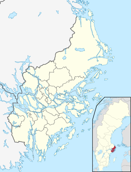
English: Stockholm County map for pin |
| Date | |
| Soorce |
  by TUBS, Erik Frohne, and Ain wirk by TUBS, Erik Frohne, and Ain wirk |
| Author | Penyulap |
Licensin
I, the copyright holder of this work, hereby publish it under the following license:
This file is licensed unner the Creative Commons Attribution-Share Alike 3.0 Unported license.
- Ye are free:
- tae share – tae copy, distribute an transmit the wirk
- tae remix – tae adapt the wirk
- Unner the follaein condeetions:
- attribution – Ye must attribute the wirk in the manner specified bi the author or licensor (but nae in ony way that suggests that thay endorse ye or yer uise o the wirk).
- share alik – If ye alter, transform, or big upon this wirk, ye mey distribute the resultin wirk anly unner the same or seemilar license tae this ane.
File history
Clap oan ae date/time fer tae see the file aes it kithed at that time.
| Date/Time | Thummnail | Dimensions | Uiser | Comment | |
|---|---|---|---|---|---|
| current | 22:56, 21 December 2012 | | 633 × 832 (267 KB) | Penyulap | User created page with UploadWizard |
Eimage airtins
The follaein pages airts tae this image:
Global file uisage
The follaein ither wikis uise this file:
- Uisage on ar.wikipedia.org
- Uisage on ast.wikipedia.org
- Uisage on bg.wikipedia.org
- Uisage on bn.wikipedia.org
- Uisage on ceb.wikipedia.org
- Uisage on da.wikipedia.org
- Stockholm
- Södertälje
- Lidingö
- Tumba
- Vallentuna
- Vårsta
- Sandhamn
- Åkersberga
- Djursholm
- Utö
- Ornö
- Norrtälje
- Rimbo
- Nynäshamn
- Älvsjö
- Birka og Hovgården
- Skabelon:Kortpositioner Sverige Stockholm
- Norra Djurgården
- Ekerö
- Edsbacka krog
- Grisslehamn
- Kungliga Tennishallen
- Upplands Väsby och Sollentuna
- Sandviken (Södertälje kommun)
- Fornboda
- Uisage on en.wikipedia.org
View mair global usage o this file.