
File:Localización de Cataluña.svg

Size of this PNG preview of this SVG file: 686 × 518 pixels. Ither resolutions: 318 × 240 pixels | 636 × 480 pixels | 1,017 × 768 pixels | 1,280 × 967 pixels | 2,560 × 1,933 pixels.
Oreeginal file (SVG file, nominallie 686 × 518 pixels, file size: 501 KB)
Ootline
| Descreeption |
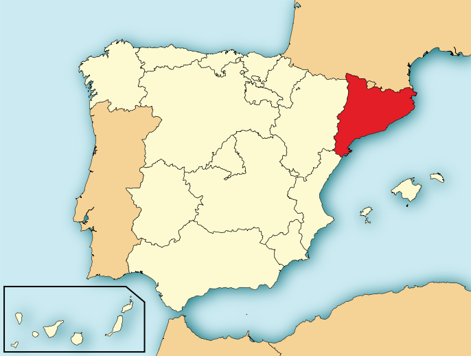
Català: Localització de Catalunya respecte Espanya. English: Map of Spain with Catalonia highlighted. Español: Localización de Cataluña en España.
ไทย: แผนที่แคว้นกาตาลุญญาในประเทศสเปน |
| Date | |
| Soorce | File:EspañaLoc.svg, de HansenBCN. Modificada por User:Mutxamel. |
| Author | Mutxamel, subido por Rastrojo (D•ES) |
| Other versions | Derivative works of this file: Cataluña EU.svg |
| SVG genesis | This locator map was created with Adobe Illustrator. |

Licensin
I, the copyright holder of this work, hereby publish it under the following licenses:

|
Permission is grantit tae copy, distribute an/or modify this document unner the terms o the GNU Free Documentation License, Version 1.2 or ony later version published bi the Free Software Foundation; wi no Invariant Sections, no Front-Cover Texts, an no Back-Cover Texts. A copy o the license is includit in the section enteetled GNU Free Documentation License. |
This file is licensed under the Creative Commons Attribution-Share Alike 4.0 International, 3.0 Unported, 2.5 Generic, 2.0 Generic and 1.0 Generic license.
- Ye are free:
- tae share – tae copy, distribute an transmit the wirk
- tae remix – tae adapt the wirk
- Unner the follaein condeetions:
- attribution – Ye must attribute the wirk in the manner specified bi the author or licensor (but nae in ony way that suggests that thay endorse ye or yer uise o the wirk).
- share alik – If ye alter, transform, or big upon this wirk, ye mey distribute the resultin wirk anly unner the same or seemilar license tae this ane.
Ye mey select the license o yer choice.
File history
Clap oan ae date/time fer tae see the file aes it kithed at that time.
| Date/Time | Thummnail | Dimensions | Uiser | Comment | |
|---|---|---|---|---|---|
| current | 19:12, 4 August 2010 | | 686 × 518 (501 KB) | Orionist | removed border and artifacts, various other fixes |
| 20:56, 7 Julie 2009 |  | 690 × 522 (561 KB) | Rastrojo | Reverted to version as of 10:43, 6 July 2009 tiene diferencias en el color, mejor mantener consonancia de colores con el resto | |
| 17:32, 7 Julie 2009 |  | 690 × 522 (559 KB) | Mutxamel | Reverted to version as of 15:23, 7 March 2009 Same version, no changes | |
| 10:43, 6 Julie 2009 |  | 690 × 522 (561 KB) | Rastrojo | nueva versión | |
| 18:55, 16 Apryle 2009 |  | 578 × 374 (407 KB) | Paintman | Mismo estilo de mapa de localización para todas las comunidades autónomas. | |
| 15:23, 7 Mairch 2009 |  | 690 × 522 (559 KB) | Mutxamel | borders | |
| 15:21, 7 Mairch 2009 |  | 690 × 521 (536 KB) | Mutxamel | borders | |
| 15:20, 7 Mairch 2009 |  | 690 × 522 (559 KB) | Mutxamel | improved | |
| 18:42, 2 Apryle 2008 |  | 578 × 374 (407 KB) | Paintman | Color verde y por comunidades autónomas. | |
| 19:41, 7 Januar 2008 |  | 578 × 374 (608 KB) | Rastrojo | {{Information |Description= Localización de Cataluña respecto a España |Source= Image:Provincias de España centrado.svg |Date= |Author= Rastrojo |Permission= |other_versions= }} [[Category:Maps of Spain] |
Eimage airtins
The'r nae pages airts tae this eimage.
Global file uisage
The follaein ither wikis uise this file:
- Uisage on af.wikipedia.org
- Uisage on als.wikipedia.org
- Uisage on ar.wikipedia.org
- Uisage on arz.wikipedia.org
- Uisage on ast.wikipedia.org
- Uisage on ast.wiktionary.org
- Uisage on ay.wikipedia.org
- Uisage on br.wikipedia.org
- Uisage on ca.wikipedia.org
- Uisage on ckb.wikipedia.org
- Uisage on cs.wikipedia.org
- Uisage on da.wikipedia.org
- Uisage on de.wikipedia.org
- Uisage on de.wikivoyage.org
- Uisage on diq.wikipedia.org
- Uisage on en.wikipedia.org
- Uisage on en.wikinews.org
- Uisage on en.wiktionary.org
- Uisage on eo.wikipedia.org
- Uisage on es.wikipedia.org
- Uisage on es.wikinews.org
- Categoría:Cataluña
- Plantilla:Cataluña
- Miles de manifestantes marchan por Barcelona pidiendo la independencia
- Al menos 14 detenidos por referéndum independentista en Cataluña
- Varias personas fueron detenidas o resultaron heridas en Cataluña por enfrentamientos con la policía
- En Cataluña se impuso el "sí"; la cantidad de heridos por la represión policial asciende a ochocientos
- Puigdemont asegura que declarará la independencia en cuestión de días; Felipe VI acusa deslealtad inadmisible
- Tribunal español suspende sesión del Parlamento de Cataluña donde se proclamaría la independencia
- Varias empresas con sede en Barcelona se trasladan a otras ciudades españolas
- Puigdemont declara la independencia de Cataluña, pero suspende sus efectos y pide diálogo
- Se registran protestas en Cataluña por detención de dos líderes independentistas
- El Parlamento de Cataluña aprueba declarar la independencia; Rajoy destituye a Puigdemont y convoca elecciones
- Sin aceptar su destitución, Puigdemont llama a una "oposición democrática" al mandato de Madrid
View mair global usage o this file.