
File:Liechtenstein location map.svg

Size of this PNG preview of this SVG file: 565 × 600 pixels. Ither resolutions: 226 × 240 pixels | 452 × 480 pixels | 723 × 768 pixels | 965 × 1,024 pixels | 1,929 × 2,048 pixels | 568 × 603 pixels.
Oreeginal file (SVG file, nominallie 568 × 603 pixels, file size: 165 KB)
Ootline
| Descreeption |
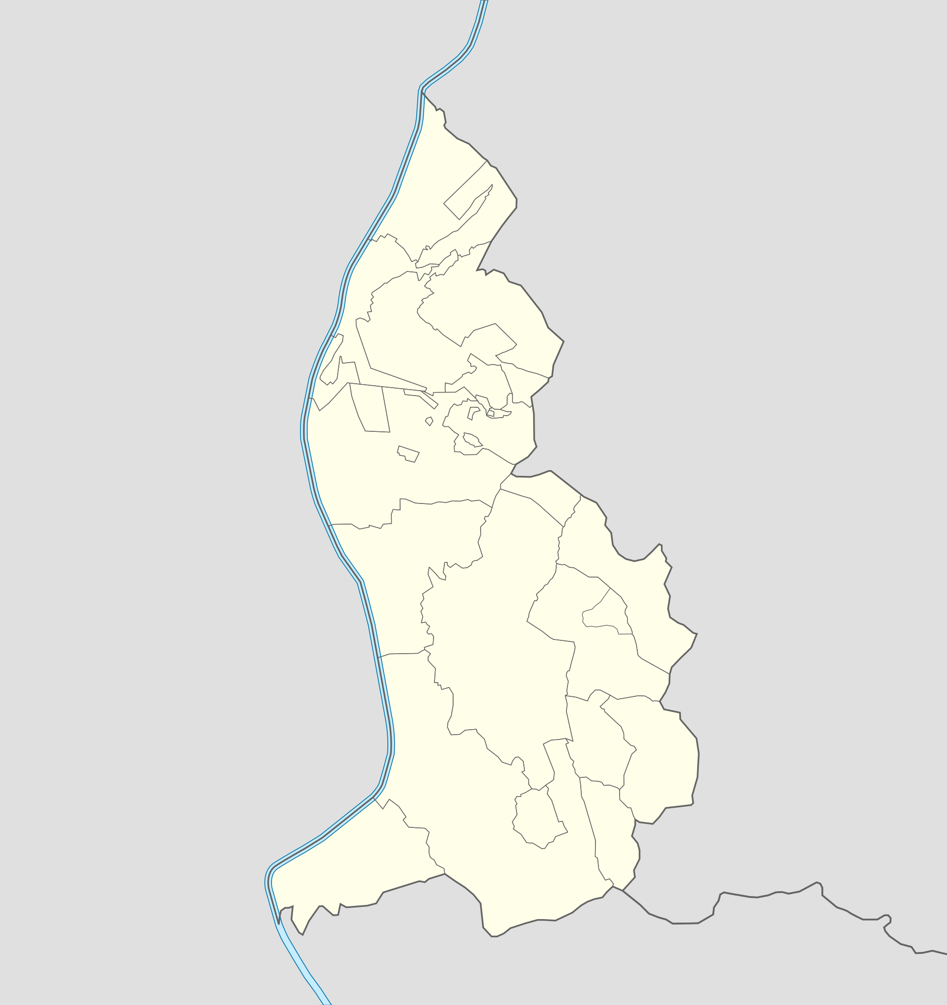
Deutsch: Positionskarte von Liechtenstein
Quadratische Plattkarte. Geographische Begrenzung der Karte:
English: Location map of Liechtenstein
Equirectangular projection. Geographic limits of the map:
|
||
| Date | 07-09-2008 | ||
| Soorce | own work, using Liechtenstein-Planken.svg by William Shewring | ||
| Author | Maximilian Dörrbecker (Chumwa) | ||
| Permission (Reuisin this file) |
I, the copyright holder of this work, hereby publish it under the following licenses:
This file is licensed unner the Creative Commons Attribution-Share Alike 3.0 Unported license.
Ye mey select the license o yer choice. |


|
This map has been made or improved in the German Kartenwerkstatt (Map Lab). You can propose maps to improve as well.
|
File history
Clap oan ae date/time fer tae see the file aes it kithed at that time.
| Date/Time | Thummnail | Dimensions | Uiser | Comment | |
|---|---|---|---|---|---|
| current | 06:15, 29 September 2013 | | 568 × 603 (165 KB) | Chumwa | corr |
| 20:35, 27 September 2013 |  | 568 × 603 (80 KB) | Chumwa | corr | |
| 16:52, 22 September 2008 |  | 568 × 604 (202 KB) | Chumwa | Flächenfarbe der "anderen Staaten" korrigiert | |
| 10:19, 7 September 2008 |  | 568 × 604 (202 KB) | Chumwa | um bereits existierendes Breite-Höhe-Verhältnis wiederherzustellen... | |
| 09:34, 7 September 2008 |  | 435 × 807 (202 KB) | Chumwa | == Beschreibung == {{Information |Description= {{de|Positionskarte von Liechtenstein}} Quadratische Plattkarte. Geographische Begrenzung der Karte: * N: 47.30° N * S: 47.03° N * W: 9.45° O * O: 9.67° O {{en|Location map of [[:de: |
Eimage airtins
The follaein pages airts tae this image:
Global file uisage
The follaein ither wikis uise this file:
- Uisage on af.wikipedia.org
- Uisage on als.wikipedia.org
- Uisage on an.wikipedia.org
- Vaduz
- Schaan
- Triesenberg
- Planken
- Balzers
- Triesen
- Schellenberg
- Ruggell
- Mauren
- Eschen
- Gamprin
- Bendern
- Plantilla:Mapa de localización Liechtenstein
- Nendeln
- Schaanwald
- Mäls
- Mühleholz
- Hinterschellenberg
- Ebenholz
- Gaflei
- Malbun
- Steg (Liechtenstein)
- Silum
- Masescha
- Rotenboden
- Samina (Liechtenstein)
- Wangerberg
- Sücka
- Uisage on ar.wikipedia.org
- Uisage on ast.wikipedia.org
View mair global usage o this file.