
File:La Coruña-loc.svg

Size of this PNG preview of this SVG file: 512 × 527 pixels. Ither resolutions: 233 × 240 pixels | 466 × 480 pixels | 746 × 768 pixels | 995 × 1,024 pixels | 1,990 × 2,048 pixels.
Oreeginal file (SVG file, nominallie 512 × 527 pixels, file size: 399 KB)
Ootline
| Descreeption |
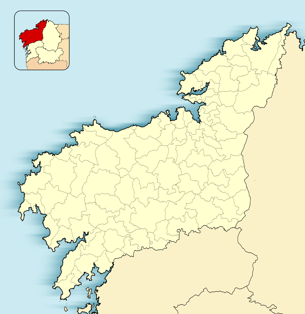
English: Location map of Province of A Coruña
Equirectangular projection, N/S stretching 130 %. Geographic limits of the map:
Español: Mapa de localización de la Provincia de La Coruña
Proyección equirrectangular (cilíndrica equidistante), N/S estirada 130 %. Límites geográficos del mapa:
|
|
| Date | ||
| Soorce | Own work based on: EspañaLoc.svg by HansenBCN | |
| Author | Miguillen | |
| SVG genesis |
|
Licensin
Miguillen, the copyright holder of this work, hereby publishes it under the following license:
This file is licensed unner the Creative Commons Attribution-Share Alike 3.0 Unported license.
Attribution: Miguillen
- Ye are free:
- tae share – tae copy, distribute an transmit the wirk
- tae remix – tae adapt the wirk
- Unner the follaein condeetions:
- attribution – Ye must attribute the wirk in the manner specified bi the author or licensor (but nae in ony way that suggests that thay endorse ye or yer uise o the wirk).
- share alik – If ye alter, transform, or big upon this wirk, ye mey distribute the resultin wirk anly unner the same or seemilar license tae this ane.
File history
Clap oan ae date/time fer tae see the file aes it kithed at that time.
| Date/Time | Thummnail | Dimensions | Uiser | Comment | |
|---|---|---|---|---|---|
| current | 11:43, 10 December 2010 | | 512 × 527 (399 KB) | Miguillen | Colores según convención |
| 12:13, 17 November 2010 |  | 512 × 527 (272 KB) | Miguillen | == {{int:filedesc}} == {{Information |Description={{en|Location map of Province of La Coruña}} Equirectangular projection, N/S stretching 130 %. Geographic limits of the map: * N: ° N * S: ° N * W: ° O * E: ° E |
Eimage airtins
The follaein pages airts tae this image:
Global file uisage
The follaein ither wikis uise this file:
- Uisage on ar.wikipedia.org
- Uisage on azb.wikipedia.org
- Uisage on ba.wikipedia.org
- Uisage on br.wikipedia.org
- Uisage on ceb.wikipedia.org
- Uisage on en.wikipedia.org
- Uisage on eo.wikipedia.org
- Korunjo
- Betanzos
- Provinco Korunjo
- Ribeira
- Pobra do Karaminjal
- Ferrol
- Padrón (Korunjo)
- Santiago-de-Kompostelo
- Katedralo de Santiago-de-Kompostelo
- Curtis
- Santiago de Compostela (stacidomo)
- Ŝablono:Situo sur mapo Hispanio Provinco Korunjo
- A Coruña (stacidomo)
- Ferrol (stacidomo)
- Ortigueira (stacidomo)
- Ortigueira
- San Xoán (stacidomo)
- Virxe do Mar (stacidomo)
- Narón
- Santa Icía (stacidomo)
- Senra (stacidomo)
- Pedroso de Narón (stacidomo)
- Xuvia (stacidomo)
- Piñeiros (stacidomo)
- O Alto do Castiñeiro (stacidomo)
- O Ponto (stacidomo)
- Ferrerías (stacidomo)
- Sedes (stacidomo)
- San Sadurniño (stacidomo)
View mair global usage o this file.