
File:Kenya location map.svg

Size of this PNG preview of this SVG file: 545 × 600 pixels. Ither resolutions: 218 × 240 pixels | 436 × 480 pixels | 698 × 768 pixels | 931 × 1,024 pixels | 1,862 × 2,048 pixels | 1,000 × 1,100 pixels.
Oreeginal file (SVG file, nominallie 1,000 × 1,100 pixels, file size: 329 KB)
Ootline
| Descreeption |
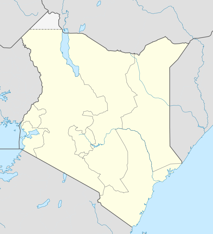
Deutsch: Location map of Kenya
Equirectangular projection. Strechted by 100.0%. Geographic limits of the map:
|
| Date | |
| Soorce | Ain wirk |
| Author | Uwe Dedering |
| Other versions |
|

Licensin
Uwe Dedering at German Wikipaedia, the copyright holder of this work, hereby publishes it under the following licenses:

|
Permission is grantit tae copy, distribute an/or modify this document unner the terms o the GNU Free Documentation License, Version 1.2 or ony later version published bi the Free Software Foundation; wi no Invariant Sections, no Front-Cover Texts, an no Back-Cover Texts. A copy o the license is includit in the section enteetled GNU Free Documentation License. |
This file is licensed unner the Creative Commons Attribution-Share Alike 3.0 Unported license.
Attribution: Uwe Dedering at German Wikipaedia
- Ye are free:
- tae share – tae copy, distribute an transmit the wirk
- tae remix – tae adapt the wirk
- Unner the follaein condeetions:
- attribution – Ye must attribute the wirk in the manner specified bi the author or licensor (but nae in ony way that suggests that thay endorse ye or yer uise o the wirk).
- share alik – If ye alter, transform, or big upon this wirk, ye mey distribute the resultin wirk anly unner the same or seemilar license tae this ane.
This file is licensed under the Creative Commons Attribution-Share Alike 3.0 Germany license.
Attribution: Uwe Dedering at German Wikipaedia
- Ye are free:
- tae share – tae copy, distribute an transmit the wirk
- tae remix – tae adapt the wirk
- Unner the follaein condeetions:
- attribution – Ye must attribute the wirk in the manner specified bi the author or licensor (but nae in ony way that suggests that thay endorse ye or yer uise o the wirk).
- share alik – If ye alter, transform, or big upon this wirk, ye mey distribute the resultin wirk anly unner the same or seemilar license tae this ane.

Ye mey select the license o yer choice.
Original upload log
Transferred from de.wikipedia to Commons by Uwe Dedering.
The original description page was here. All following user names refer to de.wikipedia.
- 2010-02-16 11:08 Uwe Dedering 1000×1200× (349329 bytes) {{Information |Beschreibung = Location map of Kenya Equirectangular projection. Strechted by 100.0%. Geographic limits of the map: * N: 7.0° N * S: -5.0° N * W: 33.0° E * E: 43.0° E Made with Natural Earth. Free vector and raster map data @ naturalearthdata.com. |Quelle = own work |Urheber = [[Benutzer:Uwe Dedering|Uwe Dedering]] |Datum = 20100216 |Genehmigung = |Andere Versionen = |Anmerkungen = }}
File history
Clap oan ae date/time fer tae see the file aes it kithed at that time.
| Date/Time | Thummnail | Dimensions | Uiser | Comment | |
|---|---|---|---|---|---|
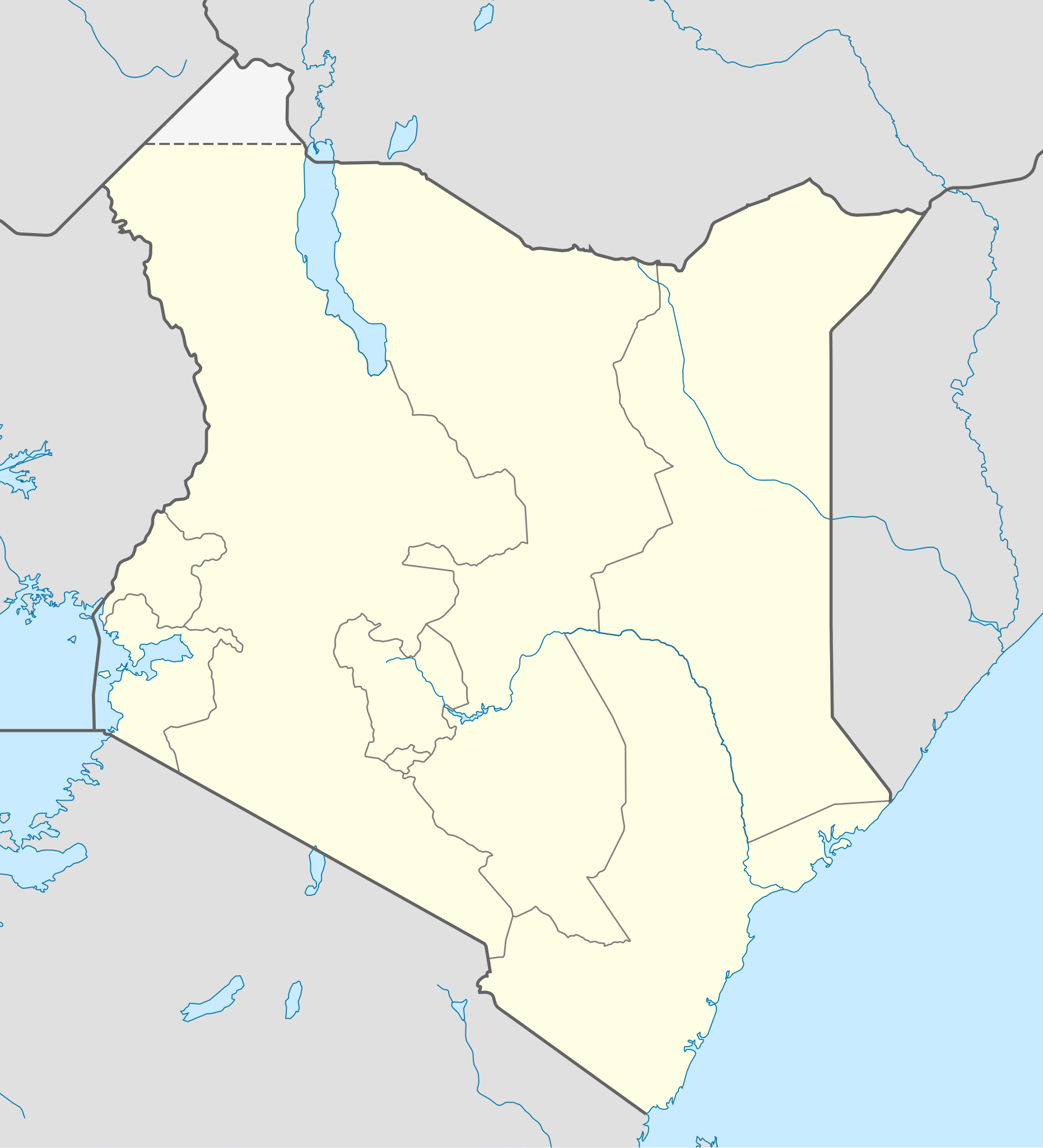
| current | 12:00, 17 Februar 2010 | | 1,000 × 1,100 (329 KB) | Uwe Dedering | regional boundaries only for kenya |
| 11:37, 17 Februar 2010 |  | 1,000 × 1,100 (368 KB) | Uwe Dedering | Northern limit now 6 degrees | |
| 21:52, 16 Februar 2010 |  | 1,000 × 1,200 (341 KB) | Uwe Dedering | {{Information |Description={{de|Location map of Kenya Equirectangular projection. Strechted by 100.0%. Geographic limits of the map: * N: 7.0° N * S: -5.0° N * W: 33.0° E * E: 43.0° E Made with Natural Earth. Free vector and raster map data @ naturale |
Eimage airtins
The follaein pages airts tae this image:
Global file uisage
The follaein ither wikis uise this file:
- Uisage on af.wikipedia.org
- Uisage on als.wikipedia.org
- Uisage on am.wikipedia.org
- Uisage on ar.wikipedia.org
- Uisage on arz.wikipedia.org
- Uisage on az.wikipedia.org
- Uisage on ba.wikipedia.org
- Uisage on be-tarask.wikipedia.org
- Uisage on be.wikipedia.org
- Uisage on bg.wikipedia.org
- Uisage on bn.wikipedia.org
- Uisage on ceb.wikipedia.org
View mair global usage o this file.