
File:Italy Sardinia location map IT.svg

Size of this PNG preview of this SVG file: 334 × 599 pixels. Ither resolutions: 134 × 240 pixels | 267 × 480 pixels | 428 × 768 pixels | 571 × 1,024 pixels | 1,142 × 2,048 pixels | 601 × 1,078 pixels.
Oreeginal file (SVG file, nominallie 601 × 1,078 pixels, file size: 1.22 MB)
Ootline
| Descreeption |
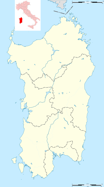
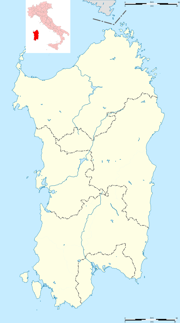
English: Blank administrative map of Sardinia, Italy, for geo-location purpose, with province boundaries. Each province could be coloured independently. Français : Carte administrative vierge de la Sardaigne, Italie, destinée à la géolocalisation, avec les limites des provinces. Chaque province peut être colorée indépendamment. Equirectangular projection, WGS84 datum
Geographic limits of the map:
|
| Date | (UTC) |
| Soorce |
Ain wirk
|
| Author | Hanhil (talk) 13:54, 26 May 2011 (UTC) based on File:Italy Sardinia location map.svg by Sémhur (talk) |
| Other versions |
Derivative works of this file: Isole della Sardegna.svg
|


| Camera location | | View this and other nearby images on: OpenStreetMap |
|---|
Licensin
I, the copyright holder of this work, hereby publish it under the following license:
This file is licensed unner the Creative Commons Attribution-Share Alike 3.0 Unported license.
- Ye are free:
- tae share – tae copy, distribute an transmit the wirk
- tae remix – tae adapt the wirk
- Unner the follaein condeetions:
- attribution – Ye must attribute the wirk in the manner specified bi the author or licensor (but nae in ony way that suggests that thay endorse ye or yer uise o the wirk).
- share alik – If ye alter, transform, or big upon this wirk, ye mey distribute the resultin wirk anly unner the same or seemilar license tae this ane.
File history
Clap oan ae date/time fer tae see the file aes it kithed at that time.
| Date/Time | Thummnail | Dimensions | Uiser | Comment | |
|---|---|---|---|---|---|
| current | 15:51, 4 Mairch 2018 | | 601 × 1,078 (1.22 MB) | Ruthven | Province boundaries of 2016 |
| 13:54, 26 Mey 2011 |  | 601 × 1,078 (1.25 MB) | Hanhil | == {{int:filedesc}} == {{Information |Description={{Multilingual description |en=Blank administrative map of Sardinia, Italy, for geo-location purpose, with province boundaries. Each province could be coloured independently. |fr=Carte adm |
Eimage airtins
The follaein pages airts tae this image:
Global file uisage
The follaein ither wikis uise this file:
- Uisage on azb.wikipedia.org
- ویلاپروچیو
- ویلا ورده
- ویلا سن پیترو
- ویلا سانتآنتونیو
- ویدالبا
- تراماتسا
- ترالبا
- تراتالیاس
- تتی (ساردینیا)
- تالانا
- تاداسونی
- کیارامونتی
- کووارتو سنت النا
- پیمنتل، ساردینیا
- پیسچیناس
- والهدوریا
- کولیناس
- کولیری
- والرموزا
- کوسوینه
- نئونلی
- نیورو
- کارلوفورته
- پومپو
- کارددو
- کارجقه
- کورکوریس
- نوله (کومونه)
- نولوی
- پولا، ساردینیا
- نوکسیس
- نوقدو سانتا ویتوریا
- نوقدو سان نیکولو
- کاربونیا
- نوری (ساردینیا)
- نورچی
- پوزادا، ساردینیا
- نوربلو
- نورامینیس
- نورالاو
- نوراقوقومه
- نوراقوس
- نوراچی
- پورتوسکوزو
- کودرونجیانوس
- پورتو تورس
- کاپوترا
- نارکائو
- ناربولیا
- کوارتوچیو
View mair global usage o this file.