
File:India Chhattisgarh location map.svg

Size of this PNG preview of this SVG file: 479 × 600 pixels. Ither resolutions: 191 × 240 pixels | 383 × 480 pixels | 613 × 768 pixels | 817 × 1,024 pixels | 1,635 × 2,048 pixels | 1,152 × 1,443 pixels.
Oreeginal file (SVG file, nominallie 1,152 × 1,443 pixels, file size: 473 KB)
Ootline
| Descreeption |
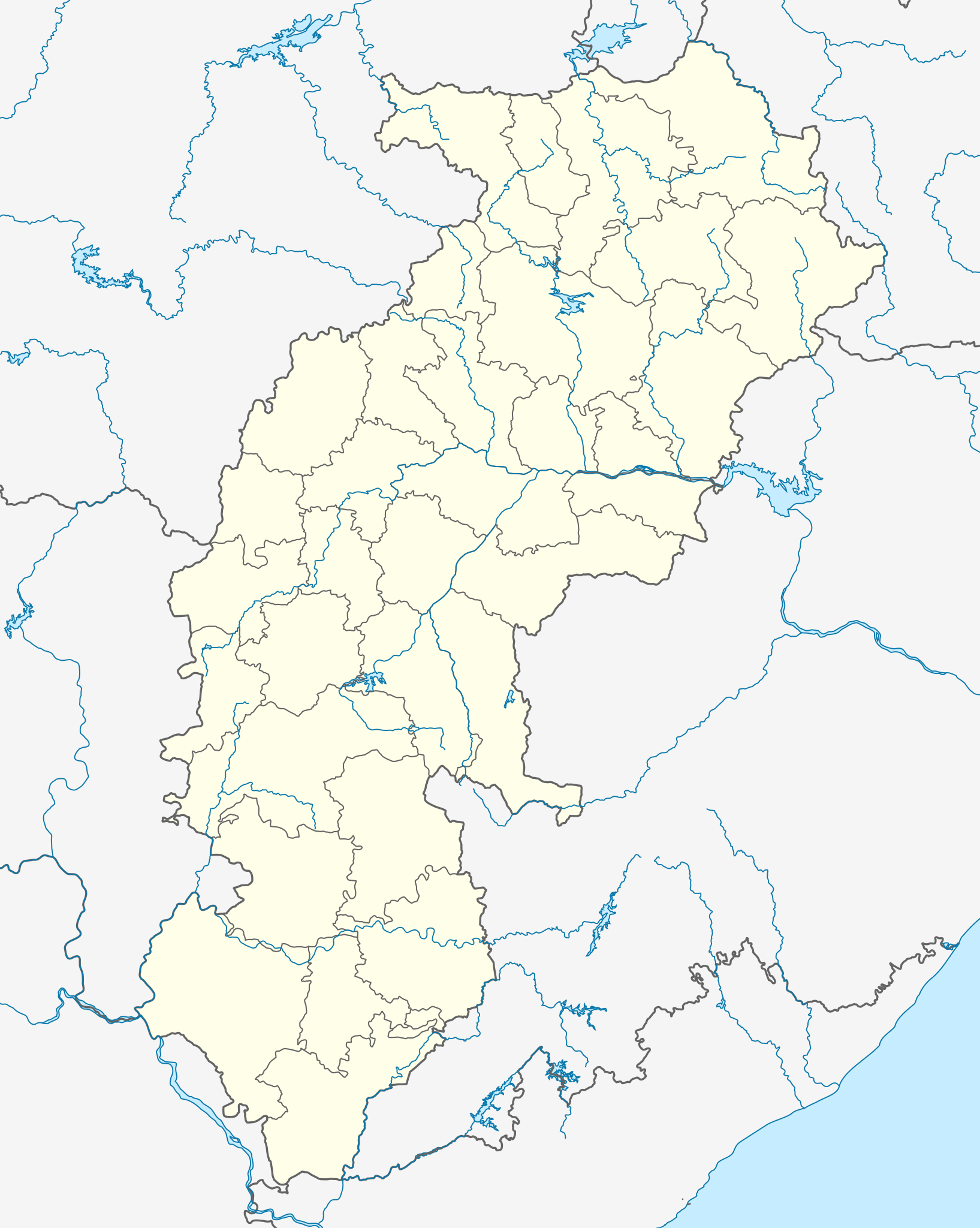
Location map of Chhattisgarh Geographic limits of the map:
|
| Date | |
| Soorce | Ain wirk |
| Author |
|
Licensin
I, the copyright holder of this work, hereby publish it under the following license:
This file is licensed unner the Creative Commons Attribution-Share Alike 3.0 Unported license.
- Ye are free:
- tae share – tae copy, distribute an transmit the wirk
- tae remix – tae adapt the wirk
- Unner the follaein condeetions:
- attribution – Ye must attribute the wirk in the manner specified bi the author or licensor (but nae in ony way that suggests that thay endorse ye or yer uise o the wirk).
- share alik – If ye alter, transform, or big upon this wirk, ye mey distribute the resultin wirk anly unner the same or seemilar license tae this ane.
File history
Clap oan ae date/time fer tae see the file aes it kithed at that time.
| Date/Time | Thummnail | Dimensions | Uiser | Comment | |
|---|---|---|---|---|---|
| current | 04:50, 19 Julie 2022 | | 1,152 × 1,443 (473 KB) | C1MM | Fixed Sarangarh-Bhilaigarh |
| 05:39, 23 Apryle 2022 |  | 1,152 × 1,443 (469 KB) | C1MM | Added four new districts | |
| 17:44, 1 Mey 2021 |  | 934 × 1,286 (311 KB) | C1MM | Fixed Baloda Bazar district | |
| 17:06, 1 Mey 2021 |  | 934 × 1,286 (305 KB) | C1MM | Fixed borders and rivers, changed line weight | |
| 23:32, 16 December 2020 |  | 1,613 × 2,221 (328 KB) | C1MM | Grouped rivers | |
| 04:48, 24 October 2020 |  | 1,613 × 2,221 (188 KB) | C1MM | Changed width of district boundaries | |
| 19:15, 2 August 2020 |  | 1,613 × 2,221 (207 KB) | C1MM | Relayered | |
| 00:50, 9 Juin 2020 |  | 1,613 × 2,221 (141 KB) | C1MM | Fixed Andhra Pradesh border change | |
| 03:43, 11 Mey 2020 |  | 1,613 × 2,221 (140 KB) | C1MM | Fixed river | |
| 22:19, 22 Apryle 2020 |  | 1,613 × 2,221 (150 KB) | C1MM | Corrected district |
Eimage airtins
The follaein pages airts tae this image:
Global file uisage
The follaein ither wikis uise this file:
- Uisage on ar.wikipedia.org
- Uisage on azb.wikipedia.org
- Uisage on az.wikipedia.org
- Uisage on ba.wikipedia.org
- Uisage on bn.wikipedia.org
View mair global usage o this file.