
File:Guyana location map.svg

Size of this PNG preview of this SVG file: 407 × 599 pixels. Ither resolutions: 163 × 240 pixels | 326 × 480 pixels | 522 × 768 pixels | 695 × 1,024 pixels | 1,391 × 2,048 pixels | 1,252 × 1,843 pixels.
Oreeginal file (SVG file, nominallie 1,252 × 1,843 pixels, file size: 293 KB)
Ootline
| Descreeption |
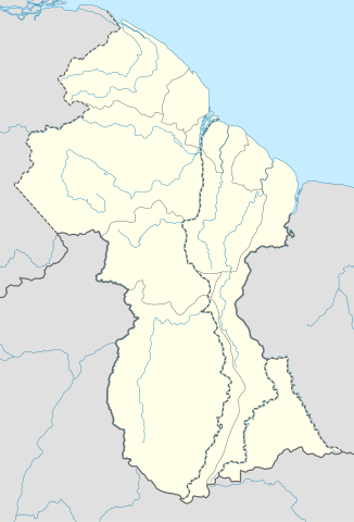
Deutsch: Positionskarte von Guyana
Quadratische Plattkarte. Geographische Begrenzung der Karte:
English: Location map of Guyana
Equirectangular projection. Geographic limits of the map:
|
| Date | 02.12.2008 |
| Soorce |
own work, using
|
| Author | NordNordWest |
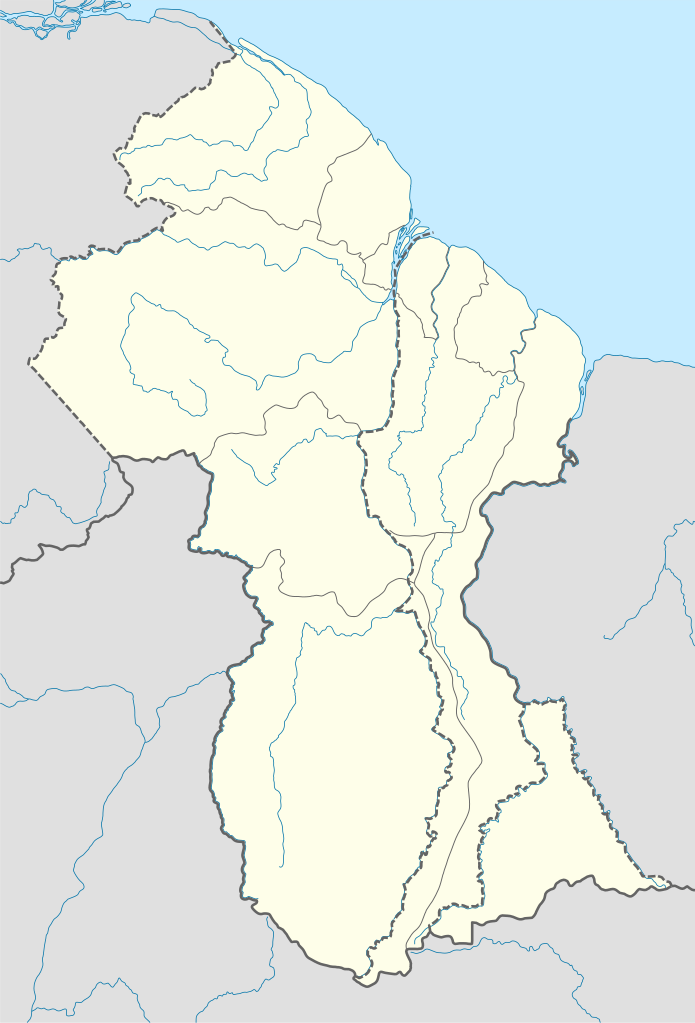
| Other versions | Derivative works of this file: Guyana relief location map.jpg |

|
This map has been made or improved in the German Kartenwerkstatt (Map Lab). You can propose maps to improve as well.
|
Licensin
I, the copyright holder of this work, hereby publish it under the following licenses:

|
Permission is grantit tae copy, distribute an/or modify this document unner the terms o the GNU Free Documentation License, Version 1.2 or ony later version published bi the Free Software Foundation; wi no Invariant Sections, no Front-Cover Texts, an no Back-Cover Texts. A copy o the license is includit in the section enteetled GNU Free Documentation License. |
This file is licensed unner the Creative Commons Attribution-Share Alike 3.0 Unported license.
- Ye are free:
- tae share – tae copy, distribute an transmit the wirk
- tae remix – tae adapt the wirk
- Unner the follaein condeetions:
- attribution – Ye must attribute the wirk in the manner specified bi the author or licensor (but nae in ony way that suggests that thay endorse ye or yer uise o the wirk).
- share alik – If ye alter, transform, or big upon this wirk, ye mey distribute the resultin wirk anly unner the same or seemilar license tae this ane.
Ye mey select the license o yer choice.
File history
Clap oan ae date/time fer tae see the file aes it kithed at that time.
| Date/Time | Thummnail | Dimensions | Uiser | Comment | |
|---|---|---|---|---|---|
| current | 17:03, 15 September 2017 | | 1,252 × 1,843 (293 KB) | Milenioscuro | corrected disputed border with Venezuela |
| 04:09, 28 September 2013 |  | 1,252 × 1,843 (342 KB) | Unukalhai | Reverted to version as of 04:34, 16 October 2012 | |
| 12:36, 24 Februar 2013 |  | 1,252 × 1,843 (341 KB) | Wester | Reverted to version as of 19:53, 2 December 2008 | |
| 04:34, 16 October 2012 |  | 1,252 × 1,843 (342 KB) | Unukalhai | Including disputed area by Venezuela, the same way wich the surinamese one appears in the map. http://treaties.un.org/pages/showDetails.aspx?objid=080000028012b96f | |
| 19:53, 2 December 2008 |  | 1,252 × 1,843 (341 KB) | NordNordWest | {{Information |Description= {{de|Positionskarte von Guyana}} Quadratische Plattkarte. Geographische Begrenzung der Karte: * N: 8.7° N * S: 0.9° N * W: 61.6° W * O: 56.3° W {{en|Location map of Guyana}} Equirectangular pro |
Eimage airtins
The follaein pages airts tae this image:
Global file uisage
The follaein ither wikis uise this file:
- Uisage on af.wikipedia.org
- Uisage on an.wikipedia.org
- Uisage on ar.wikipedia.org
- Uisage on ast.wikipedia.org
- Uisage on az.wikipedia.org
- Uisage on ba.wikipedia.org
- Uisage on be-tarask.wikipedia.org
- Uisage on be.wikipedia.org
- Uisage on bg.wikipedia.org
- Uisage on bn.wikipedia.org
- Uisage on bs.wikipedia.org
- Uisage on ceb.wikipedia.org
View mair global usage o this file.