
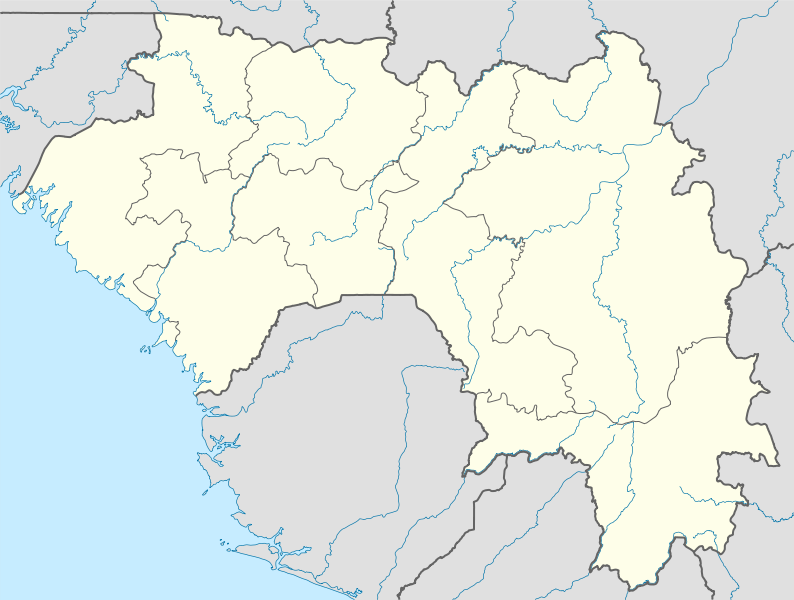
File:Guinea location map.svg

Size of this PNG preview of this SVG file: 794 × 600 pixels. Ither resolutions: 318 × 240 pixels | 636 × 480 pixels | 1,017 × 768 pixels | 1,280 × 967 pixels | 2,560 × 1,934 pixels | 1,455 × 1,099 pixels.
Oreeginal file (SVG file, nominallie 1,455 × 1,099 pixels, file size: 430 KB)
Ootline
| Descreeption |
Deutsch: Positionskarte von Guinea
Quadratische Plattkarte, N-S-Streckung 102 %. Geographische Begrenzung der Karte:
English: Location map of Guinea
Equirectangular projection, N/S stretching 102 %. Geographic limits of the map:
|
| Date | |
| Soorce |
Ain wirk, using
|
| Author | NordNordWest |
| Permission (Reuisin this file) |
I, the copyright holder of this work, hereby publish it under the following license: This file is licensed unner the Creative Commons Attribution-Share Alike 3.0 Unported license.
|
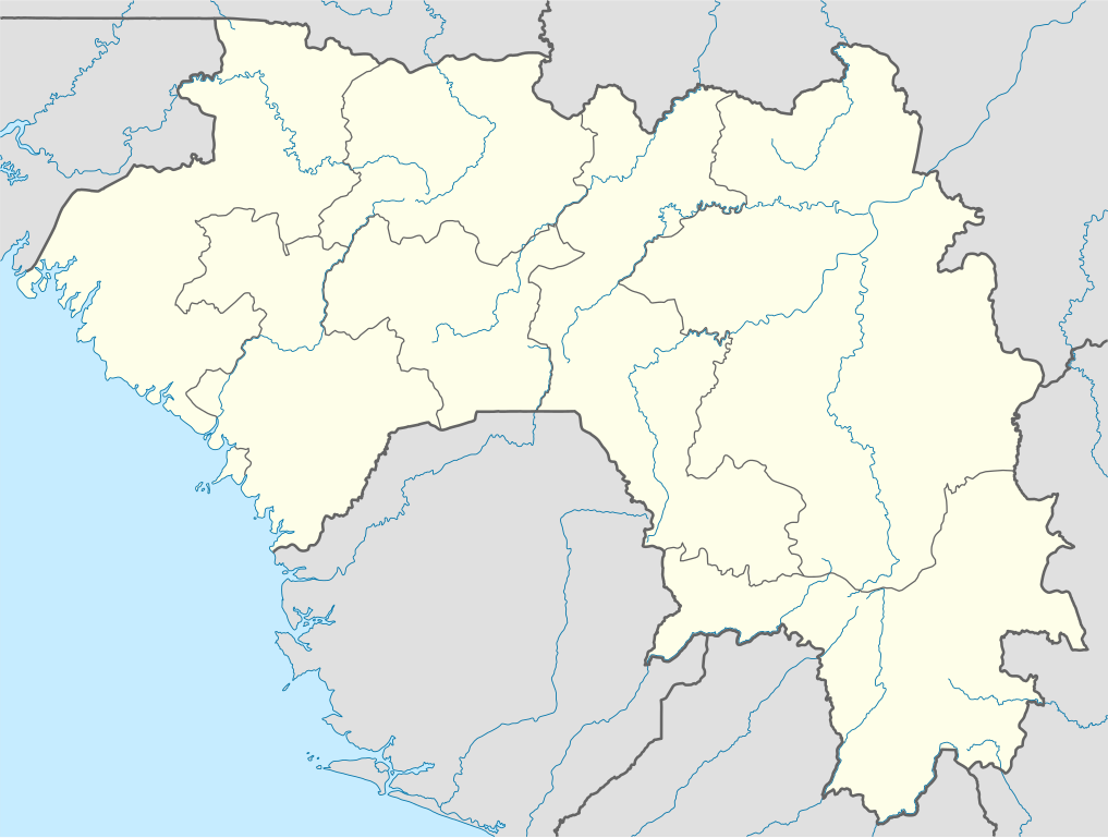
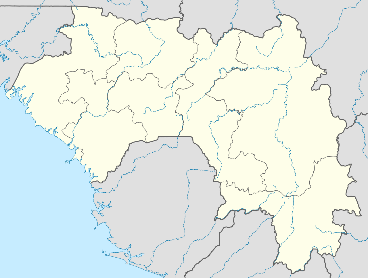
| Other versions | Derivative works of this file: Regions of Guinea.svg |

|
This map has been made or improved in the German Kartenwerkstatt (Map Lab). You can propose maps to improve as well.
|
File history
Clap oan ae date/time fer tae see the file aes it kithed at that time.
| Date/Time | Thummnail | Dimensions | Uiser | Comment | |
|---|---|---|---|---|---|
| current | 18:10, 14 October 2009 | | 1,455 × 1,099 (430 KB) | NordNordWest | =={{int:filedesc}}== {{Information |Description= {{de|Positionskarte von Guinea}} Quadratische Plattkarte, N-S-Streckung 102 %. Geographische Begrenzung der Karte: * N: 12.8° N * S: 7.1° N * W: 15.2° W * O: 7.5° W {{en|Location map of [ |
Eimage airtins
The follaein pages airts tae this image:
Global file uisage
The follaein ither wikis uise this file:
- Uisage on af.wikipedia.org
- Uisage on am.wikipedia.org
- Uisage on ar.wikipedia.org
- Uisage on ba.wikipedia.org
- Uisage on bg.wikipedia.org
- Uisage on bn.wikipedia.org
- Uisage on bs.wikipedia.org
- Uisage on ce.wikipedia.org
- Uisage on ckb.wikipedia.org
- Uisage on cs.wikipedia.org
- Uisage on de.wikipedia.org
- Uisage on de.wikivoyage.org
- Uisage on el.wikipedia.org
- Uisage on es.wikipedia.org
- Uisage on et.wikipedia.org
- Uisage on eu.wikipedia.org
- Uisage on fa.wikipedia.org
- Uisage on fr.wikipedia.org
- Uisage on gl.wikipedia.org
- Uisage on he.wikivoyage.org
- Uisage on hsb.wikipedia.org
- Uisage on id.wikipedia.org
- Uisage on it.wikivoyage.org
View mair global usage o this file.