
File:France location map-Regions and departements-2016.svg

Size of this PNG preview of this SVG file: 624 × 600 pixels. Ither resolutions: 250 × 240 pixels | 499 × 480 pixels | 799 × 768 pixels | 1,066 × 1,024 pixels | 2,131 × 2,048 pixels | 2,000 × 1,922 pixels.
Oreeginal file (SVG file, nominallie 2,000 × 1,922 pixels, file size: 551 KB)
Ootline
| Descreeption |
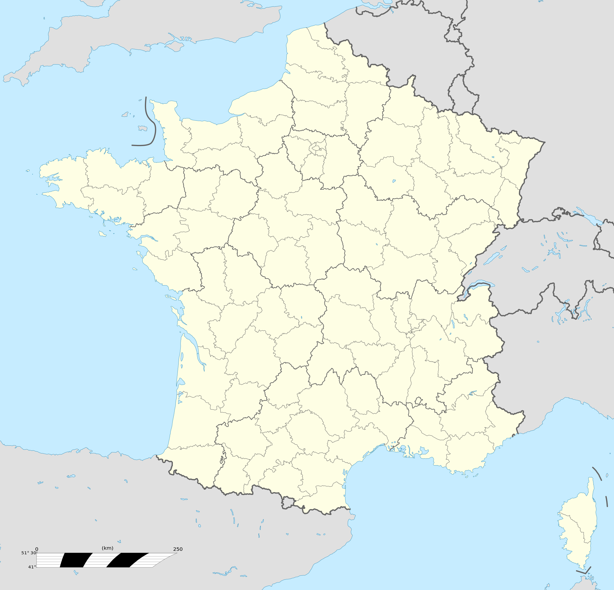
Français : Carte administrative vierge de la France destinée à la géolocalisation, avec régions et départements distingués.
Échelle approximative : 1:3 000 000
English: Blank administrative map of France for geo-location purpose, with regions and departements distinguished.
Approximate scale : 1:3,000,000
Projection équirectangulaire, données WGS84
Limites géographiques de la carte :
|
| Date | |
| Soorce |
This file was derived from: France location map-Regions and departements-2015.svg |
| Author | Superbenjamin |
| Other versions |
|
| SVG genesis | This locator map was created with Adobe Illustrator, and with Inkscape. This locator map uses embedded text/digits. |

Licensin
I, the copyright holder of this work, hereby publish it under the following license:
This file is licensed under the Creative Commons Attribution-Share Alike 4.0 International license.
- Ye are free:
- tae share – tae copy, distribute an transmit the wirk
- tae remix – tae adapt the wirk
- Unner the follaein condeetions:
- attribution – Ye must attribute the wirk in the manner specified bi the author or licensor (but nae in ony way that suggests that thay endorse ye or yer uise o the wirk).
- share alik – If ye alter, transform, or big upon this wirk, ye mey distribute the resultin wirk anly unner the same or seemilar license tae this ane.
File history
Clap oan ae date/time fer tae see the file aes it kithed at that time.
| Date/Time | Thummnail | Dimensions | Uiser | Comment | |
|---|---|---|---|---|---|
| current | 13:46, 19 October 2017 | | 2,000 × 1,922 (551 KB) | Sting | No borders over the Lake of Constance |
| 09:11, 2 Januar 2016 |  | 2,000 × 1,922 (546 KB) | Superbenjamin | User created page with UploadWizard |
Eimage airtins
Mair nor 100 pages airt til this file. The follaein leet shaws the first 100 page airtins that uise this file anely . Ae fu leet is available.
- Abbécourt
- Abitain
- Ablain-Saint-Nazaire
- Ablainzevelle
- Ablon
- Accons
- Achery, Aisne
- Achicourt
- Achiet-le-Grand
- Achiet-le-Petit
- Acq
- Acqueville, Calvados
- Acquin-Westbécourt
- Adinfer
- Affringues
- Agnez-lès-Duisans
- Agy
- Aiglun, Alpes-Maritimes
- Aignerville
- Ailhon
- Ailleville
- Airan
- Aix-en-Othe
- Aizac
- Ajoux
- Alba-la-Romaine
- Albertville
- Albias
- Albon-d'Ardèche
- Alboussière
- Alissas
- Allibaudières
- Alrance
- Althen-des-Paluds
- Amance, Aube
- Amayé-sur-Orne
- Amayé-sur-Seulles
- Ambeyrac
- Amblie
- Ambléon
- Ambronay
- Ambutrix
- Amfreville, Calvados
- Amiens
- Anctoville
- Andelain
- Andernos-les-Bains
- Angers
- Angerville, Calvados
- Angeville
- Angoville, Calvados
- Anguerny
- Avignon
- Beaurainville
- Bordeaux
- Brest, Fraunce
- Caluire-et-Cuire
- Cannes
- Chalon-sur-Saône
- Châteldon
- Clermont-Ferrand
- Cucq
- Fuveau
- Le Havre
- Les Sables-d'Olonne
- Lille
- Limoges
- Lyon
- Marseille
- Maulévrier
- Montpellier
- Mâcon
- Nantes
- Nice
- Orchies
- Orléans
- Paris
- Reims
- Rennes
- Roquevaire
- Rouen
- Saint-Gilles, Saône-et-Loire
- Saint-Jean, Haute-Garonne
- Saint-Jean-d'Ardières
- Saint-Jean-d'Arves
- Saint-Jean-d'Arvey
- Saint-Jean-de-Touslas
- Saint-Jean-de-Trézy
- Saint-Jean-de-la-Croix
- Saint-Jean-des-Ollières
- Saint-Jean-la-Bussière
- Saint-Michel-l'Observatoire
- Saint-Siméon, Seine-et-Marne
- Saint-Vit
- Saint-Étienne
- Strasbourg
- Toulouse
- Vaugneray
- Villeneuve-d'Ascq
- Villeurbanne
See mair links til this file.
Global file uisage
The follaein ither wikis uise this file:
- Uisage on af.wikipedia.org
- Rugbywêreldbeker 1999
- Mont-Saint-Michel
- Quimperlé
- Dinard
- Camembert (dorp)
- Dives-sur-Mer
- Deauville
- Crécy-en-Ponthieu
- Cannes
- Villeneuve-d'Ascq
- Antibes
- Menton
- Lascaux
- Rennes-le-Château
- Aigues-Mortes
- Cluny
- La Grande-Motte
- Grasse
- Avranches
- Saint-Jean-Cap-Ferrat
- Honfleur
- Monte Carlo
- Villefranche-sur-Saône
- Arles
- Saint-Dié-des-Vosges
- Vannes
- Pontivy
- Cassis
- Neuf-Brisach
- Val Thorens
- Indre
- Neuilly-sur-Seine
- Nanterre
- Millau
- Chamonix-Mont-Blanc
- Gourdon (Alpes-Maritimes)
- Le Faou
- La Roque-Gageac
- Riquewihr
- Locronan
- Eus
- Châteauneuf-du-Pape
- Arcachon
- Saint-Jean-de-Luz
- Apt (Vaucluse)
- Auray
- Nancy
- Rugbywêreldbeker 2007
- Lens, Pas-de-Calais
- Mont Ventoux
View mair global usage o this file.