
File:France location map-Regions and departements-2015.svg

Size of this PNG preview of this SVG file: 624 × 600 pixels. Ither resolutions: 250 × 240 pixels | 499 × 480 pixels | 799 × 768 pixels | 1,066 × 1,024 pixels | 2,131 × 2,048 pixels | 2,000 × 1,922 pixels.
Oreeginal file (SVG file, nominallie 2,000 × 1,922 pixels, file size: 699 KB)
Ootline
| Descreeption |
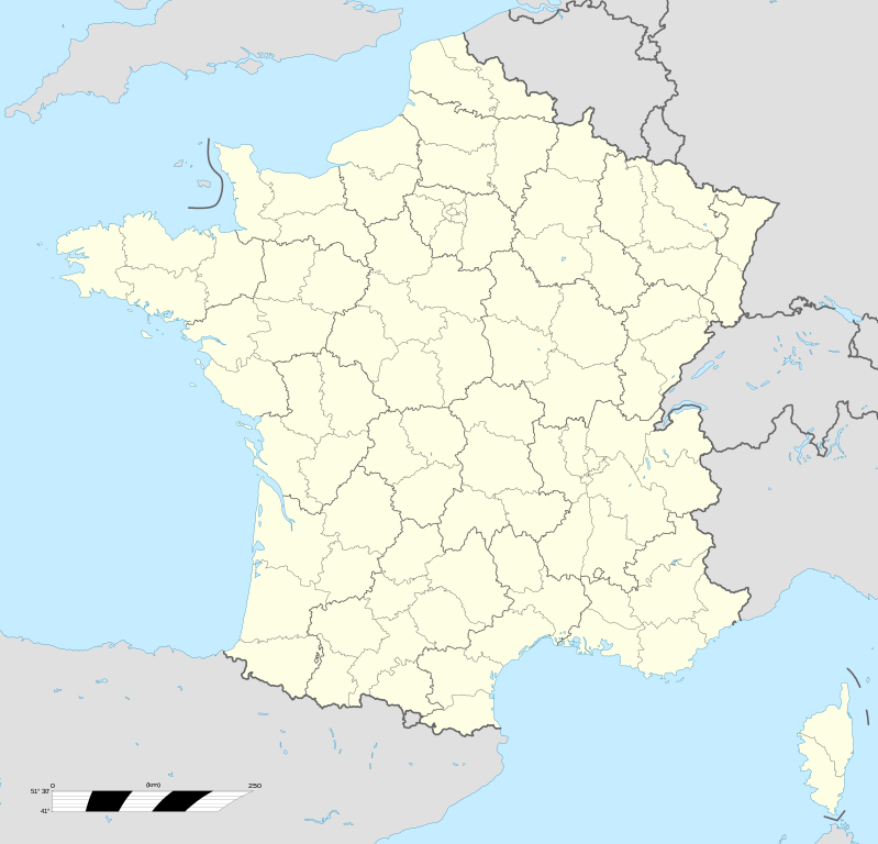
English: Blank administrative map of France for geo-location purpose, with regions and departements distinguished. Approximate scale : 1:3,000,000 Français : Carte administrative vierge de la France destinée à la géolocalisation, avec régions et départements distingués.
Échelle approximative : 1:3 000 000 Equirectangular projection, WGS84 datum
Geographic limits of the map :
|
| Date | |
| Soorce |
Own work based on: France location map-Regions and departements.svg
|
| Author | Eric Gaba (Sting - fr:Sting); Ajout Métropole de Lyon: Otourly |
| Other versions |
|
| SVG genesis |


.svg)
| Object location | | View this and other nearby images on: OpenStreetMap |
|---|
Licensin
I, the copyright holder of this work, hereby publish it under the following licenses:

|
Permission is grantit tae copy, distribute an/or modify this document unner the terms o the GNU Free Documentation License, Version 1.2 or ony later version published bi the Free Software Foundation; wi no Invariant Sections, no Front-Cover Texts, an no Back-Cover Texts. A copy o the license is includit in the section enteetled GNU Free Documentation License. |
This file is licensed under the Creative Commons Attribution-Share Alike 4.0 International, 3.0 Unported, 2.5 Generic, 2.0 Generic and 1.0 Generic license.
- Ye are free:
- tae share – tae copy, distribute an transmit the wirk
- tae remix – tae adapt the wirk
- Unner the follaein condeetions:
- attribution – Ye must attribute the wirk in the manner specified bi the author or licensor (but nae in ony way that suggests that thay endorse ye or yer uise o the wirk).
- share alik – If ye alter, transform, or big upon this wirk, ye mey distribute the resultin wirk anly unner the same or seemilar license tae this ane.
Ye mey select the license o yer choice.
File history
Clap oan ae date/time fer tae see the file aes it kithed at that time.
| Date/Time | Thummnail | Dimensions | Uiser | Comment | |
|---|---|---|---|---|---|
| current | 13:49, 19 October 2017 | | 2,000 × 1,922 (699 KB) | Sting | No borders over the Lake of Constance |
| 20:58, 30 December 2014 |  | 2,000 × 1,922 (700 KB) | Otourly | User created page with UploadWizard |
Eimage airtins
The'r nae pages airts tae this eimage.
Global file uisage
The follaein ither wikis uise this file:
- Uisage on de.wikipedia.org
- Uisage on fr.wikipedia.org
- Uisage on hu.wiktionary.org
- Uisage on mn.wikipedia.org